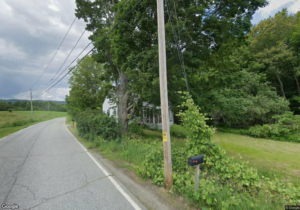
15 Drewsville Rd Alstead, NH 03602
Estimated Value: $338,000 - $377,000
3
Beds
1
Bath
1,848
Sq Ft
$190/Sq Ft
Est. Value
About This Home
This home is located at 15 Drewsville Rd, Alstead, NH 03602 and is currently estimated at $351,198, approximately $190 per square foot. 15 Drewsville Rd is a home located in Cheshire County with nearby schools including Alstead Primary School, Vilas Elementary School, and Fall Mountain Regional High School.
Create a Home Valuation Report for This Property
The Home Valuation Report is an in-depth analysis detailing your home's value as well as a comparison with similar homes in the area
Home Values in the Area
Average Home Value in this Area
Tax History Compared to Growth
Tax History
| Year | Tax Paid | Tax Assessment Tax Assessment Total Assessment is a certain percentage of the fair market value that is determined by local assessors to be the total taxable value of land and additions on the property. | Land | Improvement |
|---|---|---|---|---|
| 2024 | $5,585 | $207,000 | $104,900 | $102,100 |
| 2023 | $4,448 | $174,929 | $72,829 | $102,100 |
| 2022 | $4,310 | $174,929 | $72,829 | $102,100 |
| 2021 | $4,067 | $174,929 | $72,829 | $102,100 |
| 2020 | $4,271 | $174,887 | $72,787 | $102,100 |
| 2019 | $4,142 | $148,718 | $54,718 | $94,000 |
| 2018 | $4,040 | $149,337 | $55,337 | $94,000 |
| 2017 | $3,980 | $149,216 | $55,216 | $94,000 |
| 2016 | $4,017 | $149,287 | $55,287 | $94,000 |
| 2015 | $3,961 | $149,287 | $55,287 | $94,000 |
| 2014 | $4,248 | $178,493 | $70,993 | $107,500 |
| 2013 | $4,784 | $178,493 | $70,993 | $107,500 |
Source: Public Records
Map
Nearby Homes
- 55 Sunset Cir
- 100 River St
- 00 Cold River Rd Unit 3014.0
- 16 Vilas Rd
- 473 Pratt Rd
- 458 Cheshire Turnpike
- 00 Alstead Center Rd
- 561 Main St
- 33 Dearborn Cir
- 20 Green Rd
- 29 Green Rd
- 31 Mountain View Rd
- 36 Barker St
- 88 Westminster St
- 33 Maclean Rd
- 24 Rockingham St
- 363 March Hill Rd
- 9 Center St
- 24 South St
- 9 Merchant St