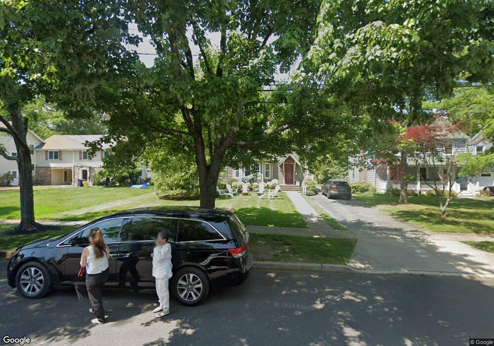
15 E Curlis Ave Pennington, NJ 08534
Estimated Value: $983,000 - $1,180,000
--
Bed
--
Bath
2,820
Sq Ft
$375/Sq Ft
Est. Value
About This Home
This home is located at 15 E Curlis Ave, Pennington, NJ 08534 and is currently estimated at $1,056,398, approximately $374 per square foot. 15 E Curlis Ave is a home located in Mercer County with nearby schools including Hopewell Valley Central High School, Pennington Montessori School, and Guidepost Montessori at Lawrenceville.
Ownership History
Date
Name
Owned For
Owner Type
Purchase Details
Closed on
May 14, 2002
Current Estimated Value
Home Financials for this Owner
Home Financials are based on the most recent Mortgage that was taken out on this home.
Interest Rate
6.79%
Purchase Details
Closed on
Aug 12, 1999
Sold by
Moll Kenneth
Bought by
Smith Jerome and Smith Nancy
Home Financials for this Owner
Home Financials are based on the most recent Mortgage that was taken out on this home.
Original Mortgage
$300,000
Interest Rate
7.65%
Create a Home Valuation Report for This Property
The Home Valuation Report is an in-depth analysis detailing your home's value as well as a comparison with similar homes in the area
Home Values in the Area
Average Home Value in this Area
Purchase History
| Date | Buyer | Sale Price | Title Company |
|---|---|---|---|
| -- | -- | -- | |
| Smith Jerome | $469,000 | -- |
Source: Public Records
Mortgage History
| Date | Status | Borrower | Loan Amount |
|---|---|---|---|
| Closed | -- | -- | |
| Previous Owner | Smith Jerome | $300,000 |
Source: Public Records
Tax History Compared to Growth
Tax History
| Year | Tax Paid | Tax Assessment Tax Assessment Total Assessment is a certain percentage of the fair market value that is determined by local assessors to be the total taxable value of land and additions on the property. | Land | Improvement |
|---|---|---|---|---|
| 2025 | $23,602 | $726,000 | $307,100 | $418,900 |
| 2024 | $22,136 | $726,000 | $307,100 | $418,900 |
| 2023 | $22,136 | $726,000 | $307,100 | $418,900 |
| 2022 | $20,544 | $724,900 | $307,100 | $417,800 |
| 2021 | $20,413 | $724,900 | $307,100 | $417,800 |
| 2020 | $20,239 | $724,900 | $307,100 | $417,800 |
| 2019 | $19,862 | $724,900 | $307,100 | $417,800 |
| 2018 | $19,413 | $724,900 | $307,100 | $417,800 |
| 2017 | $22,254 | $724,900 | $307,100 | $417,800 |
| 2016 | $19,246 | $724,900 | $307,100 | $417,800 |
| 2015 | $19,268 | $724,900 | $307,100 | $417,800 |
| 2014 | $18,862 | $724,900 | $307,100 | $417,800 |
Source: Public Records
Map
Nearby Homes
- 229 S Main St
- 325 Sked St
- 27 E Delaware Ave
- 29 E Delaware Ave
- 6 Madison Ave
- 6 Roosevelt Ave
- 85 N Main St
- 6 Morningside Dr
- 481 Federal City Rd
- 0 Penn Titusville Rd Unit BLK 62.01. LOT 80.01
- 0 Penn Titusville Rd Unit BLK 62.01. LOT 80.03
- 0 Penn Titusville Rd Unit BLK 62.01. LOT 80.02
- 16 Railroad Place
- 210 Route 31 S
- 22 Tucker Way
- 205 Ingleside Ave
- 212 Ingleside Ave
- 62 Woolsey Ct
- 0 Lawerencvlle-Pennington and Blackwell Rd Unit NJME2069342
- 18 Woolsey Ct