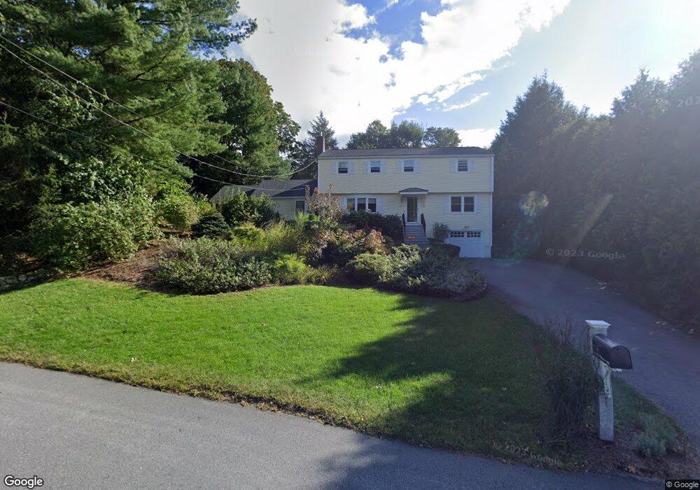
15 Elysian Dr Andover, MA 01810
Shawsheen Heights NeighborhoodEstimated Value: $900,000 - $1,059,000
4
Beds
3
Baths
2,282
Sq Ft
$432/Sq Ft
Est. Value
About This Home
This home is located at 15 Elysian Dr, Andover, MA 01810 and is currently estimated at $985,670, approximately $431 per square foot. 15 Elysian Dr is a home located in Essex County with nearby schools including West Elementary School, Doherty Middle School, and Andover High School.
Ownership History
Date
Name
Owned For
Owner Type
Purchase Details
Closed on
Aug 12, 2024
Sold by
Warner Karl J and Johnson Elizabeth A
Bought by
Warner Johnson Ft and Johnson
Current Estimated Value
Purchase Details
Closed on
Oct 2, 2001
Sold by
Hartzell M Leontine
Bought by
Warner Karl J and Johnson Elizabeth A
Purchase Details
Closed on
Jun 26, 1992
Sold by
Mancke Ralph G
Bought by
Kichorowsky Roman G
Purchase Details
Closed on
Aug 21, 1987
Sold by
Tacy James E
Bought by
Mancke Ralph G
Create a Home Valuation Report for This Property
The Home Valuation Report is an in-depth analysis detailing your home's value as well as a comparison with similar homes in the area
Home Values in the Area
Average Home Value in this Area
Purchase History
| Date | Buyer | Sale Price | Title Company |
|---|---|---|---|
| Warner Johnson Ft | -- | None Available | |
| Warner Johnson Ft | -- | None Available | |
| Warner Karl J | $428,250 | -- | |
| Kichorowsky Roman G | $210,000 | -- | |
| Warner Karl J | $428,250 | -- | |
| Kichorowsky Roman G | $210,000 | -- | |
| Mancke Ralph G | $248,635 | -- |
Source: Public Records
Mortgage History
| Date | Status | Borrower | Loan Amount |
|---|---|---|---|
| Previous Owner | Mancke Ralph G | $390,000 | |
| Previous Owner | Mancke Ralph G | $400,000 |
Source: Public Records
Tax History Compared to Growth
Tax History
| Year | Tax Paid | Tax Assessment Tax Assessment Total Assessment is a certain percentage of the fair market value that is determined by local assessors to be the total taxable value of land and additions on the property. | Land | Improvement |
|---|---|---|---|---|
| 2024 | $10,479 | $813,600 | $461,600 | $352,000 |
| 2023 | $10,006 | $732,500 | $415,700 | $316,800 |
| 2022 | $9,383 | $642,700 | $361,500 | $281,200 |
| 2021 | $8,965 | $586,300 | $328,700 | $257,600 |
| 2020 | $8,598 | $572,800 | $320,800 | $252,000 |
| 2019 | $8,516 | $557,700 | $311,300 | $246,400 |
| 2018 | $8,241 | $526,900 | $299,400 | $227,500 |
| 2017 | $7,906 | $520,800 | $293,500 | $227,300 |
| 2016 | $7,462 | $503,500 | $293,500 | $210,000 |
| 2015 | $7,205 | $481,300 | $282,000 | $199,300 |
Source: Public Records
Map
Nearby Homes
- 170 Haverhill St Unit 138
- 1 Longwood Dr Unit 105
- 156 High St
- 105 Elm St Unit A
- 32 Lucerne Dr
- 2 Kingston St Unit 2
- 88 Kingston St
- 7 Kingston St
- 156 Kingston St Unit 156
- 20 Walnut Ave
- 124 Quail Run Rd
- 136 Quail Run Rd
- 124 Hillside Rd
- 76 Hillside Rd
- 61 Elm St Unit 61
- 10 Maple Ave Unit 3
- 174 Chestnut St Unit 14
- 204 Chestnut St
- 24 York St
- 5 Castle Heights Rd