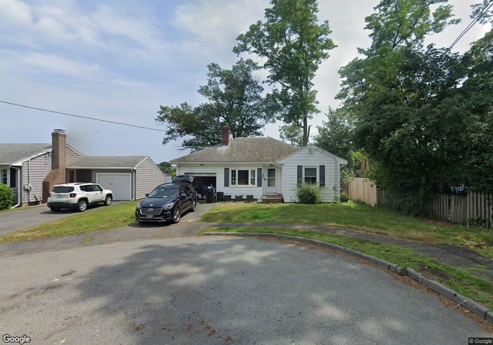
15 Everett Rd Salem, MA 01970
North Salem NeighborhoodEstimated Value: $619,000 - $745,000
2
Beds
1
Bath
972
Sq Ft
$675/Sq Ft
Est. Value
About This Home
This home is located at 15 Everett Rd, Salem, MA 01970 and is currently estimated at $656,115, approximately $675 per square foot. 15 Everett Rd is a home located in Essex County with nearby schools including Bates Elementary School, Saltonstall School, and Carlton Elementary School.
Ownership History
Date
Name
Owned For
Owner Type
Purchase Details
Closed on
Mar 9, 2004
Sold by
Es Broughton Douglas D
Bought by
Broughton Diane M
Current Estimated Value
Home Financials for this Owner
Home Financials are based on the most recent Mortgage that was taken out on this home.
Original Mortgage
$100,000
Interest Rate
5.62%
Mortgage Type
Purchase Money Mortgage
Purchase Details
Closed on
Nov 14, 1994
Sold by
Gonet Julia B Est
Bought by
Broughton Dougas and Broughton David A
Create a Home Valuation Report for This Property
The Home Valuation Report is an in-depth analysis detailing your home's value as well as a comparison with similar homes in the area
Home Values in the Area
Average Home Value in this Area
Purchase History
| Date | Buyer | Sale Price | Title Company |
|---|---|---|---|
| Broughton Diane M | $318,000 | -- | |
| Broughton Dougas | $145,000 | -- |
Source: Public Records
Mortgage History
| Date | Status | Borrower | Loan Amount |
|---|---|---|---|
| Open | Broughton Dougas | $143,000 | |
| Closed | Broughton Dougas | $100,000 | |
| Previous Owner | Broughton Dougas | $210,000 |
Source: Public Records
Tax History
| Year | Tax Paid | Tax Assessment Tax Assessment Total Assessment is a certain percentage of the fair market value that is determined by local assessors to be the total taxable value of land and additions on the property. | Land | Improvement |
|---|---|---|---|---|
| 2025 | $7,170 | $632,300 | $366,900 | $265,400 |
| 2024 | $7,333 | $631,100 | $366,900 | $264,200 |
| 2023 | $6,408 | $512,200 | $286,900 | $225,300 |
| 2022 | $6,318 | $476,800 | $286,900 | $189,900 |
| 2021 | $6,389 | $463,000 | $286,900 | $176,100 |
| 2020 | $6,482 | $448,600 | $286,900 | $161,700 |
| 2019 | $6,386 | $422,900 | $272,800 | $150,100 |
| 2018 | $6,417 | $417,200 | $272,800 | $144,400 |
| 2017 | $6,190 | $390,300 | $249,300 | $141,000 |
| 2016 | $6,116 | $390,300 | $249,300 | $141,000 |
| 2015 | $6,159 | $375,300 | $249,300 | $126,000 |
Source: Public Records
Map
Nearby Homes
- 41 Dearborn St
- 21 Manning St
- 44 Orne St Unit 44
- 16 Franklin St Unit 2403
- 16 Franklin St Unit 1303
- 112 North St
- 40 Buffum St Unit 2
- 40 Buffum St Unit 1
- 27 Appleton St
- 156 Bridge St Unit B
- 3 S Mason St
- 85 Bridge St Unit 4
- 14 Mall St Unit B
- 16 Williams St
- 11 Williams St Unit 2
- 31 N Washington Square Unit 3
- 17 North St Unit 2
- 11 Church St Unit 203
- 11 Church St Unit 702
- 289 Essex St Unit 211