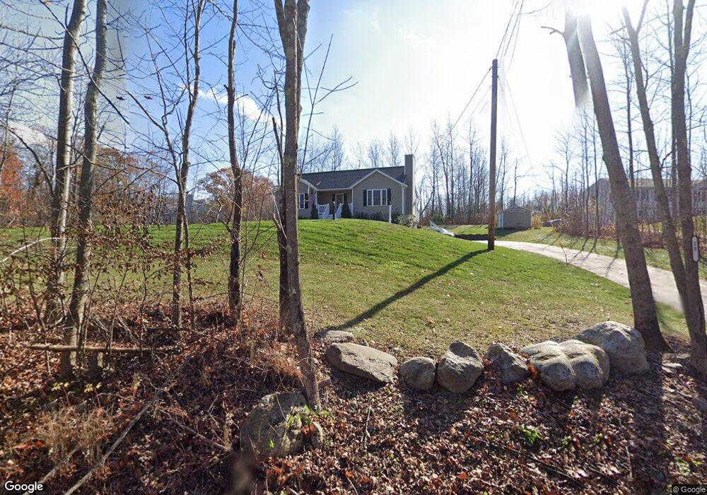
15 Flint Rd Charlton, MA 01507
Estimated Value: $388,000 - $531,000
3
Beds
2
Baths
1,216
Sq Ft
$373/Sq Ft
Est. Value
About This Home
This home is located at 15 Flint Rd, Charlton, MA 01507 and is currently estimated at $453,235, approximately $372 per square foot. 15 Flint Rd is a home with nearby schools including Shepherd Hill Regional High School.
Ownership History
Date
Name
Owned For
Owner Type
Purchase Details
Closed on
May 18, 2017
Sold by
Payne Richard J
Bought by
Payne Richard J and Payne Kathryn T
Current Estimated Value
Purchase Details
Closed on
Mar 15, 2013
Sold by
Mutual Builders Inc
Bought by
Payne Richard J
Home Financials for this Owner
Home Financials are based on the most recent Mortgage that was taken out on this home.
Original Mortgage
$235,000
Interest Rate
3.54%
Mortgage Type
USDA
Create a Home Valuation Report for This Property
The Home Valuation Report is an in-depth analysis detailing your home's value as well as a comparison with similar homes in the area
Home Values in the Area
Average Home Value in this Area
Purchase History
| Date | Buyer | Sale Price | Title Company |
|---|---|---|---|
| Payne Richard J | -- | -- | |
| Payne Richard J | -- | -- | |
| Payne Richard J | $55,000 | -- | |
| Payne Richard J | $55,000 | -- |
Source: Public Records
Mortgage History
| Date | Status | Borrower | Loan Amount |
|---|---|---|---|
| Previous Owner | Payne Richard J | $235,000 |
Source: Public Records
Tax History
| Year | Tax Paid | Tax Assessment Tax Assessment Total Assessment is a certain percentage of the fair market value that is determined by local assessors to be the total taxable value of land and additions on the property. | Land | Improvement |
|---|---|---|---|---|
| 2025 | $4,617 | $414,800 | $81,000 | $333,800 |
| 2024 | $4,397 | $387,700 | $78,000 | $309,700 |
| 2023 | $4,289 | $352,400 | $75,000 | $277,400 |
| 2022 | $3,939 | $296,400 | $73,800 | $222,600 |
| 2021 | $3,637 | $242,300 | $72,000 | $170,300 |
| 2020 | $3,530 | $236,300 | $66,000 | $170,300 |
| 2019 | $3,490 | $236,300 | $66,000 | $170,300 |
| 2018 | $3,166 | $234,500 | $66,000 | $168,500 |
| 2017 | $2,895 | $205,300 | $60,000 | $145,300 |
| 2016 | $2,829 | $205,300 | $60,000 | $145,300 |
| 2015 | $2,755 | $205,300 | $60,000 | $145,300 |
| 2014 | $868 | $68,600 | $68,600 | $0 |
Source: Public Records
Map
Nearby Homes
- 91 Burlingame Rd
- 7 L Stevens Rd Unit B
- 9 L Stevens Rd Unit B
- 9 L Stevens Rd Unit A
- 0 Freeman Rd Unit 73369281
- 25 N Main St Unit A
- 8 Northside Rd
- 30 Bond Rd
- 6 Gillespie Rd
- 34 Worcester Rd
- 34 Northside Rd
- 0 Worcester Rd
- 0 Blood Rd
- 35 J Davis Rd
- 6 S Sullivan Rd
- 7 Stevens Park Rd Unit A
- 68 - 74 Sturbridge Rd
- Lot 7 Harrington Rd
- 8 Wamsutta Ridge Rd
- L2 Partridge Hill Rd
Your Personal Tour Guide
Ask me questions while you tour the home.