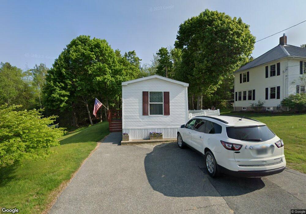
15 Forest Ave Southwest Harbor, ME 04679
Estimated Value: $275,747 - $884,000
--
Bed
--
Bath
--
Sq Ft
5,663
Sq Ft Lot
About This Home
This home is located at 15 Forest Ave, Southwest Harbor, ME 04679 and is currently estimated at $575,687. 15 Forest Ave is a home located in Hancock County with nearby schools including Pemetic Elementary School and Mt. Desert Island High School.
Ownership History
Date
Name
Owned For
Owner Type
Purchase Details
Closed on
Oct 15, 2021
Sold by
Carroll Maxine M
Bought by
Carroll Jay R and Carroll Jacqueline M
Current Estimated Value
Home Financials for this Owner
Home Financials are based on the most recent Mortgage that was taken out on this home.
Original Mortgage
$100,000
Outstanding Balance
$91,191
Interest Rate
2.8%
Mortgage Type
Purchase Money Mortgage
Estimated Equity
$484,496
Purchase Details
Closed on
Sep 22, 2005
Sold by
Dunbar Randy L and Dumbar Beth L
Bought by
Carroll James R and Carroll Maxine M
Create a Home Valuation Report for This Property
The Home Valuation Report is an in-depth analysis detailing your home's value as well as a comparison with similar homes in the area
Home Values in the Area
Average Home Value in this Area
Purchase History
| Date | Buyer | Sale Price | Title Company |
|---|---|---|---|
| Carroll Jay R | -- | None Available | |
| Carroll James R | -- | -- |
Source: Public Records
Mortgage History
| Date | Status | Borrower | Loan Amount |
|---|---|---|---|
| Open | Carroll Jay R | $100,000 |
Source: Public Records
Tax History Compared to Growth
Tax History
| Year | Tax Paid | Tax Assessment Tax Assessment Total Assessment is a certain percentage of the fair market value that is determined by local assessors to be the total taxable value of land and additions on the property. | Land | Improvement |
|---|---|---|---|---|
| 2024 | $1,696 | $188,000 | $139,600 | $48,400 |
| 2023 | $1,467 | $90,200 | $66,500 | $23,700 |
| 2022 | $1,339 | $91,100 | $66,500 | $24,600 |
| 2021 | $1,350 | $92,100 | $66,500 | $25,600 |
| 2020 | $1,768 | $93,200 | $66,500 | $26,700 |
| 2019 | $1,317 | $94,400 | $66,500 | $27,900 |
| 2018 | $1,306 | $95,900 | $66,500 | $29,400 |
| 2017 | $892 | $69,400 | $66,500 | $2,900 |
| 2016 | $892 | $69,400 | $66,500 | $2,900 |
| 2015 | $892 | $69,400 | $66,500 | $2,900 |
| 2014 | $892 | $69,400 | $66,500 | $2,900 |
| 2013 | $892 | $69,400 | $66,500 | $2,900 |
Source: Public Records
Map
Nearby Homes
- 94 E Ridge Rd
- 79 E Ridge Rd Unit 203
- 14 Seal Cove Rd
- 17 Freeman Ridge Rd
- 38 Dirigo Rd
- 109 Freeman Ridge Rd
- 120 Clark Point Rd
- 20 Freeman Ridge Rd
- 471 Main St
- 00 Fernald Point Rd
- 10 Robinson Ln Unit 18
- 2 Blueberry Ln
- 25 Seawall Rd
- 142 Seal Cove Rd
- 000
- 000 Seawall Map Lot 17 11-01 Rd
- 000 Seawall Map Lot 17 11-06
- 000
- 000 Seawall Map Lot 17 11-02 Rd
- 77 Manchester Rd