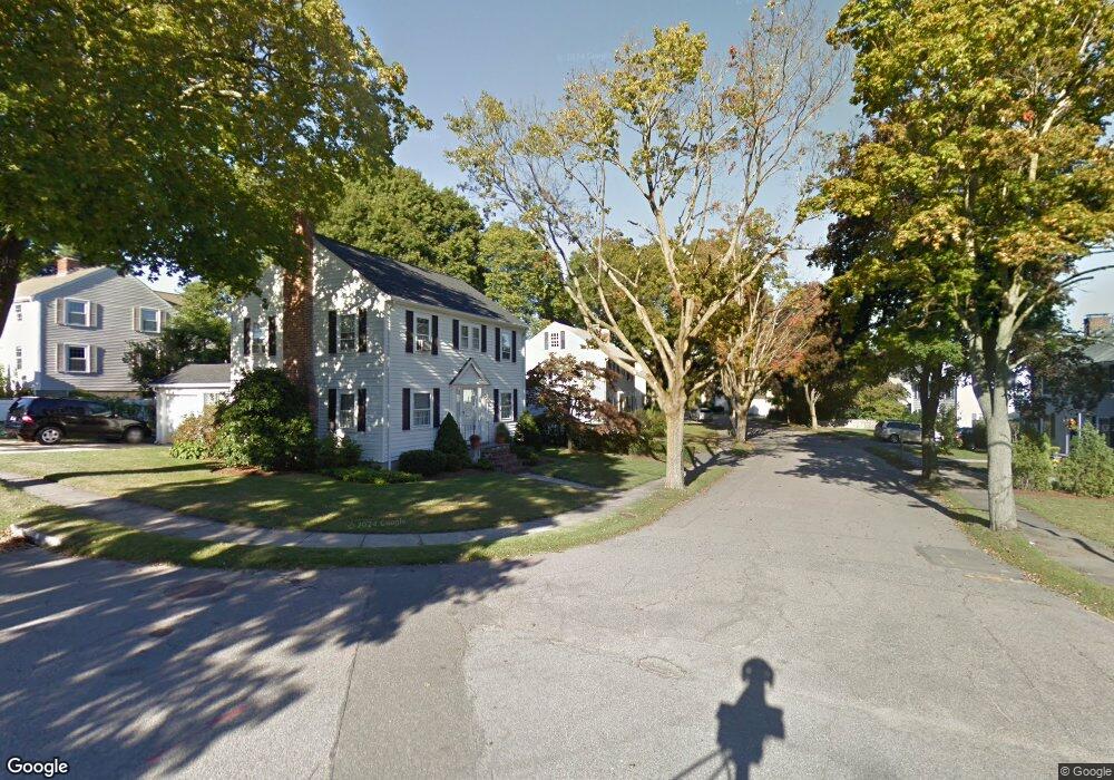
15 Garrison Rd Belmont, MA 02478
Belmont Center NeighborhoodEstimated Value: $1,303,000 - $1,544,000
3
Beds
3
Baths
1,734
Sq Ft
$816/Sq Ft
Est. Value
About This Home
This home is located at 15 Garrison Rd, Belmont, MA 02478 and is currently estimated at $1,414,675, approximately $815 per square foot. 15 Garrison Rd is a home located in Middlesex County with nearby schools including Winn Brook Elementary School, Winthrop L Chenery Middle School, and Belmont High School.
Ownership History
Date
Name
Owned For
Owner Type
Purchase Details
Closed on
Nov 10, 2016
Sold by
Keeth William D and Keeth Dana B
Bought by
Dana Bresee Keeth T
Current Estimated Value
Purchase Details
Closed on
Feb 14, 1996
Sold by
Getschow Gregory S and Getschow Susan K
Bought by
Keeth William D and Keeth Dana B
Home Financials for this Owner
Home Financials are based on the most recent Mortgage that was taken out on this home.
Original Mortgage
$217,500
Interest Rate
6.99%
Mortgage Type
Purchase Money Mortgage
Purchase Details
Closed on
May 7, 1991
Sold by
Chinoporos Efthimios and Chinoporos Eva
Bought by
Getschow Gregory S and Getschow Susan K
Create a Home Valuation Report for This Property
The Home Valuation Report is an in-depth analysis detailing your home's value as well as a comparison with similar homes in the area
Home Values in the Area
Average Home Value in this Area
Purchase History
| Date | Buyer | Sale Price | Title Company |
|---|---|---|---|
| Dana Bresee Keeth T | -- | -- | |
| Keeth William D | $290,000 | -- | |
| Getschow Gregory S | $230,000 | -- |
Source: Public Records
Mortgage History
| Date | Status | Borrower | Loan Amount |
|---|---|---|---|
| Previous Owner | Getschow Gregory S | $217,500 | |
| Previous Owner | Getschow Gregory S | $18,000 | |
| Previous Owner | Getschow Gregory S | $202,000 | |
| Previous Owner | Getschow Gregory S | $202,300 |
Source: Public Records
Tax History Compared to Growth
Tax History
| Year | Tax Paid | Tax Assessment Tax Assessment Total Assessment is a certain percentage of the fair market value that is determined by local assessors to be the total taxable value of land and additions on the property. | Land | Improvement |
|---|---|---|---|---|
| 2025 | $13,201 | $1,159,000 | $672,000 | $487,000 |
| 2024 | $12,292 | $1,164,000 | $791,000 | $373,000 |
| 2023 | $12,836 | $1,142,000 | $790,000 | $352,000 |
| 2022 | $12,080 | $1,045,000 | $723,000 | $322,000 |
| 2021 | $11,344 | $983,000 | $716,000 | $267,000 |
| 2020 | $10,692 | $972,000 | $705,000 | $267,000 |
| 2019 | $9,499 | $814,000 | $546,000 | $268,000 |
| 2018 | $9,234 | $760,000 | $492,000 | $268,000 |
| 2017 | $4,926 | $719,000 | $451,000 | $268,000 |
| 2016 | $8,666 | $690,000 | $451,000 | $239,000 |
| 2015 | $8,024 | $622,000 | $383,000 | $239,000 |
Source: Public Records
Map
Nearby Homes
- 326 Lake St
- 314 Channing Rd
- 242 Claflin St
- 43 Brunswick Rd
- 31 Pondview Rd Unit 33
- 4 Stony Brook Rd
- 7 Broad St
- 73 Trowbridge St Unit 73A
- 73 Trowbridge St Unit 73B
- 10 Radcliffe Rd
- 176 Channing Rd
- 22 Hamilton Rd Unit 206
- 55 S Normandy Ave
- 93 Griswold St Unit 93
- 95 Griswold St Unit 95
- 59 Hamilton Rd
- 23 Loomis St Unit 23
- 7 Woodland St
- 63 Loomis St Unit 63
- 48 Hamilton Rd