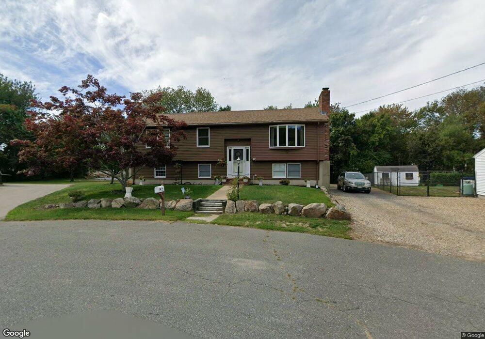
15 Goodwin Rd Gloucester, MA 01930
Estimated Value: $596,000 - $791,000
3
Beds
2
Baths
1,338
Sq Ft
$518/Sq Ft
Est. Value
About This Home
This home is located at 15 Goodwin Rd, Gloucester, MA 01930 and is currently estimated at $692,466, approximately $517 per square foot. 15 Goodwin Rd is a home located in Essex County with nearby schools including Beeman Memorial, Ralph B O'maley Middle School, and Gloucester High School.
Ownership History
Date
Name
Owned For
Owner Type
Purchase Details
Closed on
Apr 18, 2023
Sold by
Hobbs Michael W and Hobbs Nancy L
Bought by
Hobbs 2023 T
Current Estimated Value
Purchase Details
Closed on
Dec 18, 1998
Sold by
Usa
Bought by
Bornell Vitale Rt
Create a Home Valuation Report for This Property
The Home Valuation Report is an in-depth analysis detailing your home's value as well as a comparison with similar homes in the area
Purchase History
| Date | Buyer | Sale Price | Title Company |
|---|---|---|---|
| Hobbs 2023 T | -- | None Available | |
| Bornell Vitale Rt | $48,000 | -- |
Source: Public Records
Mortgage History
| Date | Status | Borrower | Loan Amount |
|---|---|---|---|
| Previous Owner | Bornell Vitale Rt | $111,500 | |
| Previous Owner | Bornell Vitale Rt | $25,000 | |
| Previous Owner | Bornell Vitale Rt | $120,000 |
Source: Public Records
Tax History Compared to Growth
Tax History
| Year | Tax Paid | Tax Assessment Tax Assessment Total Assessment is a certain percentage of the fair market value that is determined by local assessors to be the total taxable value of land and additions on the property. | Land | Improvement |
|---|---|---|---|---|
| 2025 | $5,605 | $576,600 | $206,800 | $369,800 |
| 2024 | $5,782 | $594,200 | $196,900 | $397,300 |
| 2023 | $5,461 | $515,700 | $175,800 | $339,900 |
| 2022 | $5,108 | $435,500 | $152,900 | $282,600 |
| 2021 | $5,010 | $402,700 | $139,000 | $263,700 |
| 2020 | $4,764 | $386,400 | $139,000 | $247,400 |
| 2019 | $4,804 | $378,600 | $139,000 | $239,600 |
| 2018 | $4,551 | $352,000 | $139,000 | $213,000 |
| 2017 | $4,301 | $326,100 | $132,400 | $193,700 |
| 2016 | $4,290 | $315,200 | $138,100 | $177,100 |
| 2015 | $4,114 | $301,400 | $138,100 | $163,300 |
Source: Public Records
Map
Nearby Homes
- 2 Finch Ln
- 672 Washington St
- 78 Grove St
- 98 Maplewood Ave
- 16 Cleveland Place Unit 11
- 6 Monroe Ct
- 145 Essex St Unit 622
- 40 Sargent St
- 196 Washington St
- 33 Maplewood Ave Unit 16
- 10 Oak St Unit 3
- 29 Harrison Ave
- 4 Mount Vernon St
- 15 Harvard St
- 22 Taylor St Unit 1
- 118 Prospect St
- 84 Centennial Ave
- 9 & 11 Helens Way
- 226 Atlantic St
- 20 Beacon St Unit 2