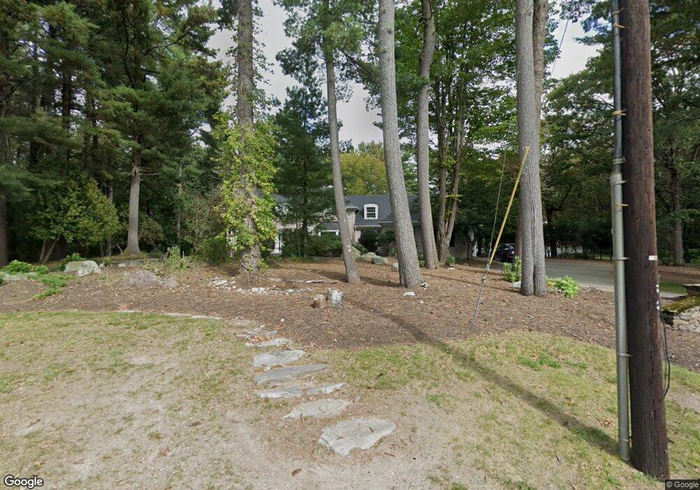
15 Green Ln Canton, MA 02021
Estimated Value: $1,809,000 - $2,395,000
6
Beds
7
Baths
5,411
Sq Ft
$381/Sq Ft
Est. Value
About This Home
This home is located at 15 Green Ln, Canton, MA 02021 and is currently estimated at $2,059,250, approximately $380 per square foot. 15 Green Ln is a home located in Norfolk County with nearby schools including Canton High School, Boston Renaissance Charter Public School, and Academy of the Pacific Rim Charter Public School.
Ownership History
Date
Name
Owned For
Owner Type
Purchase Details
Closed on
Jul 23, 2024
Sold by
Govostes Paul P Est and Leahy
Bought by
Foundas Debra
Current Estimated Value
Purchase Details
Closed on
Mar 30, 1994
Sold by
Green Ln Rt
Bought by
Govostes Paul P
Create a Home Valuation Report for This Property
The Home Valuation Report is an in-depth analysis detailing your home's value as well as a comparison with similar homes in the area
Home Values in the Area
Average Home Value in this Area
Purchase History
| Date | Buyer | Sale Price | Title Company |
|---|---|---|---|
| Foundas Debra | -- | None Available | |
| Foundas Debra | -- | None Available | |
| Govostes Paul P | $850,000 | -- | |
| Govostes Paul P | $850,000 | -- |
Source: Public Records
Mortgage History
| Date | Status | Borrower | Loan Amount |
|---|---|---|---|
| Previous Owner | Govostes Paul P | $50,000 | |
| Previous Owner | Govostes Paul P | $391,650 | |
| Previous Owner | Govostes Paul P | $650,000 |
Source: Public Records
Tax History Compared to Growth
Tax History
| Year | Tax Paid | Tax Assessment Tax Assessment Total Assessment is a certain percentage of the fair market value that is determined by local assessors to be the total taxable value of land and additions on the property. | Land | Improvement |
|---|---|---|---|---|
| 2025 | $17,430 | $1,762,400 | $466,300 | $1,296,100 |
| 2024 | $16,900 | $1,695,100 | $448,400 | $1,246,700 |
| 2023 | $16,905 | $1,599,300 | $448,400 | $1,150,900 |
| 2022 | $17,571 | $1,548,100 | $472,200 | $1,075,900 |
| 2021 | $17,320 | $1,419,700 | $429,000 | $990,700 |
| 2020 | $18,416 | $1,505,800 | $558,400 | $947,400 |
| 2019 | $18,203 | $1,468,000 | $507,600 | $960,400 |
| 2018 | $17,571 | $1,414,700 | $488,100 | $926,600 |
| 2017 | $17,898 | $1,399,400 | $478,600 | $920,800 |
| 2016 | $17,195 | $1,344,400 | $466,800 | $877,600 |
| 2015 | $16,512 | $1,288,000 | $453,300 | $834,700 |
Source: Public Records
Map
Nearby Homes
- 2204 Davenport Ave Unit 2204
- 53 Wolcott Woods Ln Unit 53
- 59 Wolcott Woods Ln Unit 59
- 61 Wolcott Woods Ln Unit 61
- 69 Wolcott Woods Ln Unit 69
- 85 Lancaster Rd
- 71 Hooper Rd
- 50 Ardmore Rd
- 2 Leominster Rd
- 360 Blue Hill Dr
- 1916 Hyde Park Ave
- 37 Lawton St
- 130 University Ave Unit 1405
- 120 University Ave Unit 2308
- 1255 Brush Hill Rd
- 24 Prescott St Unit 3
- 228 Neponset Valley Pkwy
- 1421 Canton Ave
- 30 Green Lodge St
- 15 Yuill Cir Unit 2