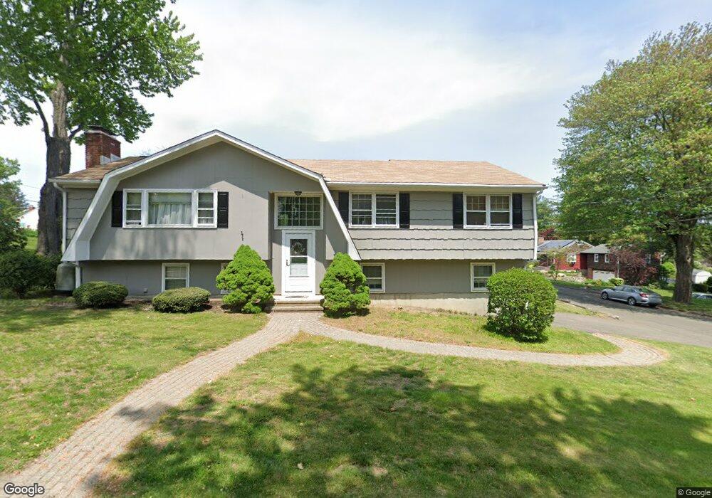
15 Griswold Ave Trumbull, CT 06611
Estimated Value: $589,000 - $688,000
3
Beds
4
Baths
1,316
Sq Ft
$486/Sq Ft
Est. Value
About This Home
This home is located at 15 Griswold Ave, Trumbull, CT 06611 and is currently estimated at $639,547, approximately $485 per square foot. 15 Griswold Ave is a home located in Fairfield County with nearby schools including Middlebrook School, Madison Middle School, and Trumbull High School.
Ownership History
Date
Name
Owned For
Owner Type
Purchase Details
Closed on
Dec 11, 2007
Sold by
Gargano William and Klubek Carol
Bought by
Klubek Carol
Current Estimated Value
Home Financials for this Owner
Home Financials are based on the most recent Mortgage that was taken out on this home.
Original Mortgage
$200,000
Outstanding Balance
$127,049
Interest Rate
6.37%
Estimated Equity
$512,498
Purchase Details
Closed on
Nov 30, 2001
Sold by
Macmath James L and Macmath Carol A
Bought by
Gargano William and Klubek Carol
Create a Home Valuation Report for This Property
The Home Valuation Report is an in-depth analysis detailing your home's value as well as a comparison with similar homes in the area
Home Values in the Area
Average Home Value in this Area
Purchase History
| Date | Buyer | Sale Price | Title Company |
|---|---|---|---|
| Klubek Carol | $200,000 | -- | |
| Gargano William | $305,000 | -- |
Source: Public Records
Mortgage History
| Date | Status | Borrower | Loan Amount |
|---|---|---|---|
| Open | Gargano William | $200,000 | |
| Previous Owner | Gargano William | $91,000 | |
| Previous Owner | Gargano William | $44,000 | |
| Previous Owner | Gargano William | $65,000 |
Source: Public Records
Tax History Compared to Growth
Tax History
| Year | Tax Paid | Tax Assessment Tax Assessment Total Assessment is a certain percentage of the fair market value that is determined by local assessors to be the total taxable value of land and additions on the property. | Land | Improvement |
|---|---|---|---|---|
| 2025 | $9,242 | $251,510 | $136,290 | $115,220 |
| 2024 | $8,980 | $251,510 | $136,290 | $115,220 |
| 2023 | $8,837 | $251,510 | $136,290 | $115,220 |
| 2022 | $8,695 | $251,510 | $136,290 | $115,220 |
| 2021 | $16,512 | $205,660 | $113,610 | $92,050 |
| 2020 | $17,238 | $205,660 | $113,610 | $92,050 |
| 2018 | $7,171 | $205,660 | $113,610 | $92,050 |
| 2017 | $7,038 | $205,660 | $113,610 | $92,050 |
| 2016 | $6,857 | $205,660 | $113,610 | $92,050 |
| 2015 | $6,968 | $208,200 | $113,600 | $94,600 |
| 2014 | $6,821 | $208,200 | $113,600 | $94,600 |
Source: Public Records
Map
Nearby Homes
- 253 Mayfield Dr Unit 253
- 267 Mayfield Dr
- 283 Mayfield Dr
- 60 Lillian Dr
- Lot 31 Valley View Rd
- 17 Rainbow Dr
- 26 Grove St
- 33 Rexview Cir
- 38 Smith Place
- 10 Aragon Dr
- 15 Blackberry Rd
- 8 Moorland Rd
- 33 Enclave Dr Unit 33
- 0 Main St
- 11 Laurel St
- 4293 Madison Ave
- 121 Paugusett Cir
- 122 Paugusett Cir
- 87 Parkway Dr
- 184 Putting Green Rd