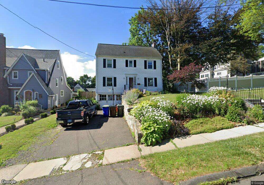
15 Harding St Wethersfield, CT 06109
Estimated Value: $321,000 - $457,000
3
Beds
2
Baths
1,676
Sq Ft
$228/Sq Ft
Est. Value
About This Home
This home is located at 15 Harding St, Wethersfield, CT 06109 and is currently estimated at $382,014, approximately $227 per square foot. 15 Harding St is a home located in Hartford County with nearby schools including Emerson-Williams School, Silas Deane Middle School, and Wethersfield High School.
Ownership History
Date
Name
Owned For
Owner Type
Purchase Details
Closed on
Sep 30, 2010
Sold by
Tucker Burton R and Tucker Louise M
Bought by
Alves Robert T and Alves Traci M
Current Estimated Value
Home Financials for this Owner
Home Financials are based on the most recent Mortgage that was taken out on this home.
Original Mortgage
$208,000
Outstanding Balance
$135,184
Interest Rate
4.44%
Estimated Equity
$246,830
Purchase Details
Closed on
Jul 3, 2001
Sold by
Halstek John D and Halstek Louise A
Bought by
Brown Thomas D
Home Financials for this Owner
Home Financials are based on the most recent Mortgage that was taken out on this home.
Original Mortgage
$152,000
Interest Rate
7.14%
Create a Home Valuation Report for This Property
The Home Valuation Report is an in-depth analysis detailing your home's value as well as a comparison with similar homes in the area
Home Values in the Area
Average Home Value in this Area
Purchase History
| Date | Buyer | Sale Price | Title Company |
|---|---|---|---|
| Alves Robert T | $260,000 | -- | |
| Brown Thomas D | $190,000 | -- |
Source: Public Records
Mortgage History
| Date | Status | Borrower | Loan Amount |
|---|---|---|---|
| Open | Brown Thomas D | $208,000 | |
| Previous Owner | Brown Thomas D | $199,550 | |
| Previous Owner | Brown Thomas D | $199,600 | |
| Previous Owner | Brown Thomas D | $152,000 | |
| Closed | Brown Thomas D | $19,000 |
Source: Public Records
Tax History
| Year | Tax Paid | Tax Assessment Tax Assessment Total Assessment is a certain percentage of the fair market value that is determined by local assessors to be the total taxable value of land and additions on the property. | Land | Improvement |
|---|---|---|---|---|
| 2025 | $8,879 | $215,410 | $69,260 | $146,150 |
| 2024 | $6,995 | $161,840 | $70,660 | $91,180 |
| 2023 | $6,762 | $161,840 | $70,660 | $91,180 |
| 2022 | $6,648 | $161,840 | $70,660 | $91,180 |
| 2021 | $6,582 | $161,840 | $70,660 | $91,180 |
| 2020 | $6,585 | $161,840 | $70,660 | $91,180 |
| 2019 | $6,593 | $161,840 | $70,660 | $91,180 |
| 2018 | $6,439 | $157,900 | $68,400 | $89,500 |
| 2017 | $6,280 | $157,900 | $68,400 | $89,500 |
| 2016 | $6,085 | $157,900 | $68,400 | $89,500 |
| 2015 | $6,030 | $157,900 | $68,400 | $89,500 |
| 2014 | $5,801 | $157,900 | $68,400 | $89,500 |
Source: Public Records
Map
Nearby Homes
- 295 Ridge Rd Unit 8
- 144 Brown St
- 1 Bristol St
- 55 Rutledge Rd
- 19 Albert Ave
- 173 Timber Trail
- 1 Brussels Ave
- 20 Forest Dr
- 129 Goff Rd
- 63 Wells Farm Dr
- 62 Schoolhouse Crossing
- 15 Potter Crossing
- 25 Tinsmith Crossing
- 764 Ridge Rd
- 192 Wolcott Hill Rd
- 219-221 Jordan Ln
- 208 Mountain St
- 43 Edward St
- 17 Salem St
- 124 Midwell Rd
Your Personal Tour Guide
Ask me questions while you tour the home.