Estimated Value: $946,531 - $1,151,000
4
Beds
3
Baths
2,456
Sq Ft
$426/Sq Ft
Est. Value
About This Home
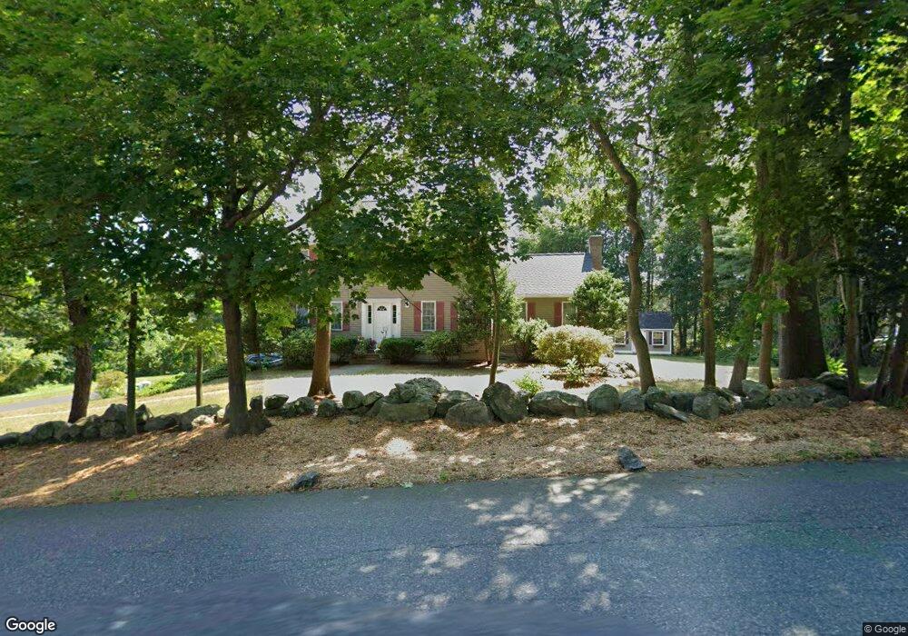
This home is located at 15 Harris St, Acton, MA 01720 and is currently estimated at $1,046,883, approximately $426 per square foot. 15 Harris St is a home located in Middlesex County with nearby schools including Acton-Boxborough Regional High School and Oak Meadow Montessori School.
Ownership History
Date
Name
Owned For
Owner Type
Purchase Details
Closed on
May 7, 1996
Sold by
R D Kanniard Homes Inc
Bought by
Deb Ashish K and Deb Abhaya
Current Estimated Value
Create a Home Valuation Report for This Property
The Home Valuation Report is an in-depth analysis detailing your home's value as well as a comparison with similar homes in the area
Home Values in the Area
Average Home Value in this Area
Purchase History
| Date | Buyer | Sale Price | Title Company |
|---|---|---|---|
| Deb Ashish K | $265,317 | -- |
Source: Public Records
Mortgage History
| Date | Status | Borrower | Loan Amount |
|---|---|---|---|
| Closed | Deb Ashish K | $260,000 | |
| Closed | Deb Ashish K | $250,000 | |
| Closed | Deb Ashish K | $225,000 |
Source: Public Records
Tax History Compared to Growth
Tax History
| Year | Tax Paid | Tax Assessment Tax Assessment Total Assessment is a certain percentage of the fair market value that is determined by local assessors to be the total taxable value of land and additions on the property. | Land | Improvement |
|---|---|---|---|---|
| 2025 | $14,121 | $823,400 | $248,100 | $575,300 |
| 2024 | $13,114 | $786,700 | $248,100 | $538,600 |
| 2023 | $13,279 | $756,200 | $225,900 | $530,300 |
| 2022 | $12,512 | $643,300 | $196,100 | $447,200 |
| 2021 | $12,243 | $605,200 | $181,700 | $423,500 |
| 2020 | $11,529 | $599,200 | $181,700 | $417,500 |
| 2019 | $11,072 | $571,600 | $181,700 | $389,900 |
| 2018 | $10,837 | $559,200 | $181,700 | $377,500 |
| 2017 | $10,542 | $553,100 | $181,700 | $371,400 |
| 2016 | $10,280 | $534,600 | $181,700 | $352,900 |
| 2015 | $10,283 | $539,800 | $181,700 | $358,100 |
| 2014 | $9,820 | $504,900 | $181,700 | $323,200 |
Source: Public Records
Map
Nearby Homes
- 428 Great Rd Unit 10
- 420 Great Rd Unit B3
- 484 Great Rd
- 484 Great Rd
- 407 Great Rd Unit 9
- 403 Great Rd Unit 5
- 390 Great Rd Unit A2
- 386 Great Rd Unit A8
- 1 Quarry Rd
- 9 Breezy Point Rd
- 159 Skyline Dr Unit 159
- 484 Great Road -3
- 484 Great Road -4
- 484 Great Road -6
- 237 Brown Bear Crossing Unit 237
- 601 Old Stone Brook
- 517 Tumbling Hawk
- 140 Butternut Hollow Unit 140
- 16 Wampus Ave Unit 32
- 17 Northbriar Rd
- 2 Captain Handley Rd
- 1 Samantha Way
- 2 Jennifer Path
- 3 Samantha Way
- 3 Samantha Way Unit 3
- 3 Samantha Way Unit 8
- 452 Great Rd Unit A
- 452 Great Rd Unit F
- 452 Great Rd
- 4 Jennifer Path
- 4 Jennifer Path Unit 4
- 5 Samantha Way
- 5 Samantha Way Unit 5
- 58 Acorn Park Dr
- 49 Acorn Park Dr
- 40 Acorn Park Dr
- 34 Acorn Park Dr
- 48 Acorn Park Dr
- 36 Acorn Park Dr
- 53 Acorn Park Dr