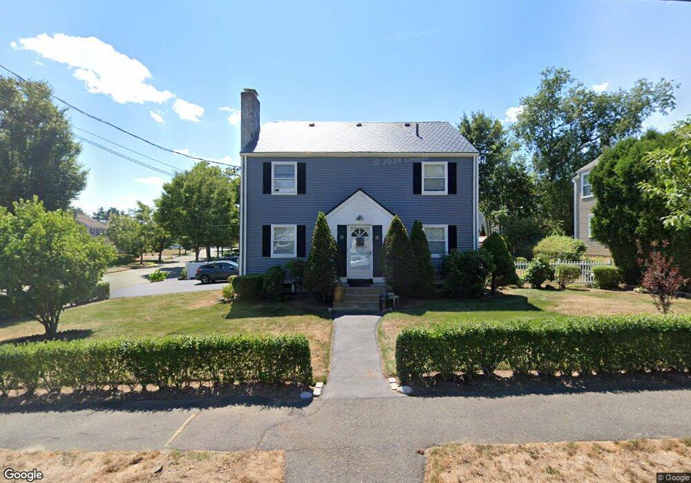
15 Hatfield Rd Unit 17 West Newton, MA 02465
West Newton NeighborhoodEstimated Value: $1,351,000 - $1,428,000
6
Beds
3
Baths
2,552
Sq Ft
$545/Sq Ft
Est. Value
About This Home
This home is located at 15 Hatfield Rd Unit 17, West Newton, MA 02465 and is currently estimated at $1,389,817, approximately $544 per square foot. 15 Hatfield Rd Unit 17 is a home located in Middlesex County with nearby schools including Franklin Elementary School, F.A. Day Middle School, and Newton North High School.
Ownership History
Date
Name
Owned For
Owner Type
Purchase Details
Closed on
Jan 16, 2025
Sold by
M Minerd T L
Bought by
Michael D Minerd Ret and Minerd
Current Estimated Value
Purchase Details
Closed on
Aug 22, 2014
Sold by
Linda M Minerd Ret and Minerd
Bought by
Linda M Minerd T M and Linda Minerd
Purchase Details
Closed on
May 19, 2009
Sold by
Minerd Linda M
Bought by
Linda M Minerd Ret and Minerd
Create a Home Valuation Report for This Property
The Home Valuation Report is an in-depth analysis detailing your home's value as well as a comparison with similar homes in the area
Home Values in the Area
Average Home Value in this Area
Purchase History
| Date | Buyer | Sale Price | Title Company |
|---|---|---|---|
| Michael D Minerd Ret | -- | None Available | |
| Michael D Minerd Ret | -- | None Available | |
| Linda M Minerd T M | -- | -- | |
| Linda M Minerd T | -- | -- | |
| Linda M Minerd T M | -- | -- | |
| Linda M Minerd Ret | -- | -- | |
| Linda M Minerd Ret | -- | -- | |
| Linda M Minerd Ret | -- | -- |
Source: Public Records
Mortgage History
| Date | Status | Borrower | Loan Amount |
|---|---|---|---|
| Previous Owner | Linda M Minerd Ret | $40,000 | |
| Previous Owner | Linda M Minerd Ret | $50,000 |
Source: Public Records
Tax History Compared to Growth
Tax History
| Year | Tax Paid | Tax Assessment Tax Assessment Total Assessment is a certain percentage of the fair market value that is determined by local assessors to be the total taxable value of land and additions on the property. | Land | Improvement |
|---|---|---|---|---|
| 2025 | $10,205 | $1,041,300 | $748,500 | $292,800 |
| 2024 | $9,867 | $1,011,000 | $726,700 | $284,300 |
| 2023 | $9,329 | $916,400 | $585,100 | $331,300 |
| 2022 | $8,926 | $848,500 | $541,800 | $306,700 |
| 2021 | $8,376 | $778,400 | $497,100 | $281,300 |
| 2020 | $8,126 | $778,400 | $497,100 | $281,300 |
| 2019 | $7,602 | $727,500 | $464,600 | $262,900 |
| 2018 | $7,551 | $697,900 | $438,100 | $259,800 |
| 2017 | $7,120 | $640,300 | $401,900 | $238,400 |
| 2016 | $6,685 | $587,400 | $368,700 | $218,700 |
| 2015 | $6,374 | $549,000 | $344,600 | $204,400 |
Source: Public Records
Map
Nearby Homes
- 251 Waltham St
- 3 Annapolis Rd
- 76 Harding St
- 14 Dana Rd
- 11 Dana Rd
- 45 Cherry Place
- 15 Berkshire Rd Unit 1
- 41 Kilburn Rd
- 97 North St
- 287 Cherry St Unit 2
- 21-23 Noble St
- 126-128 Washington Ave
- 162 Myrtle St Unit 1
- 9 John St
- 32 Henshaw St
- 56 Dearborn St
- 44 Westland Ave
- 33 Joseph Rd
- 39 Clinton St Unit 2
- 39 Clinton St Unit 1
- 15 Hatfield Rd Unit 15
- 17 Hatfield Rd
- 53 Fuller Terrace
- 11 Hatfield Rd
- 11 Hatfield Rd Unit 1
- 16 Hatfield Rd Unit 18
- 18 Hatfield Rd Unit 18
- 27 Hatfield Rd Unit 29
- 84 Fordham Rd
- 59 Fuller Terrace
- 10 Hatfield Rd Unit 10
- 76 Fordham Rd
- 8-10 Hatfield Rd
- 54 Fuller Terrace
- 8 Hatfield Rd Unit 2
- 8 Hatfield Rd Unit 2
- 8 Hatfield Rd Unit 10
- 90 Fordham Rd
- 36 Fuller Terrace Unit 38
- 36 Fuller Terrace Unit 1