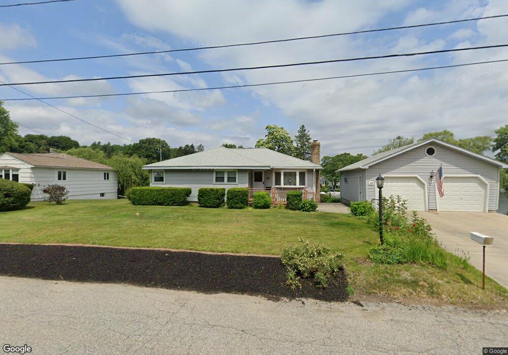
15 Hayward Ln Millbury, MA 01527
Estimated Value: $344,000 - $673,878
3
Beds
2
Baths
1,264
Sq Ft
$433/Sq Ft
Est. Value
About This Home
This home is located at 15 Hayward Ln, Millbury, MA 01527 and is currently estimated at $547,470, approximately $433 per square foot. 15 Hayward Ln is a home located in Worcester County with nearby schools including Elmwood Street Elementary School, Raymond E. Shaw Elementary School, and Millbury Junior/Senior High School.
Ownership History
Date
Name
Owned For
Owner Type
Purchase Details
Closed on
May 22, 2014
Sold by
Campbell Linda A and Campbell Linda A
Bought by
Linda A Campbell Ret and Campbell
Current Estimated Value
Create a Home Valuation Report for This Property
The Home Valuation Report is an in-depth analysis detailing your home's value as well as a comparison with similar homes in the area
Home Values in the Area
Average Home Value in this Area
Purchase History
| Date | Buyer | Sale Price | Title Company |
|---|---|---|---|
| Linda A Campbell Ret | -- | -- | |
| Linda A Campbell Ret | -- | -- | |
| Robert F Campbell Ret | -- | -- | |
| Campbell Robert F | -- | -- |
Source: Public Records
Mortgage History
| Date | Status | Borrower | Loan Amount |
|---|---|---|---|
| Previous Owner | Linda A Campbell Ret | $45,000 | |
| Previous Owner | Linda A Campbell Ret | $30,000 | |
| Previous Owner | Linda A Campbell Ret | $10,000 |
Source: Public Records
Tax History Compared to Growth
Tax History
| Year | Tax Paid | Tax Assessment Tax Assessment Total Assessment is a certain percentage of the fair market value that is determined by local assessors to be the total taxable value of land and additions on the property. | Land | Improvement |
|---|---|---|---|---|
| 2025 | $8,813 | $658,161 | $360,161 | $298,000 |
| 2024 | $8,087 | $611,286 | $333,386 | $277,900 |
| 2023 | $6,024 | $416,880 | $172,580 | $244,300 |
| 2022 | $5,925 | $394,980 | $172,580 | $222,400 |
| 2021 | $5,885 | $381,380 | $172,580 | $208,800 |
| 2020 | $5,330 | $347,700 | $143,900 | $203,800 |
| 2019 | $5,112 | $322,500 | $130,600 | $191,900 |
| 2018 | $4,912 | $300,600 | $130,600 | $170,000 |
| 2017 | $2,551 | $289,800 | $130,600 | $159,200 |
| 2016 | $4,492 | $272,900 | $130,600 | $142,300 |
| 2015 | $4,578 | $278,100 | $139,000 | $139,100 |
| 2014 | $3,771 | $220,500 | $100,800 | $119,700 |
Source: Public Records
Map
Nearby Homes
- 90 Macarthur Dr
- 12 Alstead Path
- 64 Millbury Ave
- 123 Riverlin St
- 3 May St
- 52 Clearview Terrace Unit 39
- 2 Diane St
- 86 Wheelock Ave
- 1 Broadmeadow Ave
- 1 Pineland Ave
- 11 Westview Ave
- 15 Clearview Terrace Unit 68
- 15 Rayburn Dr
- 12 Irene Ct
- 90 Park Hill Ave
- 330 Millbury Ave
- 17 Atwood Ave
- 497 Massasoit Rd
- 20 Woodridge Rd
- 40 River St