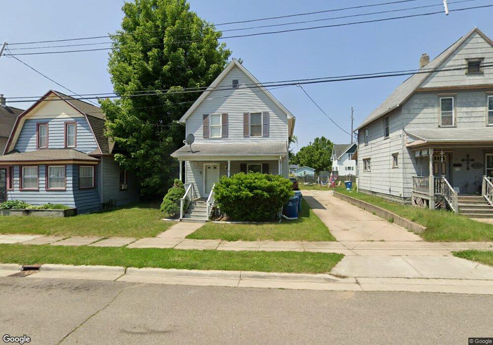
15 Hazel St Battle Creek, MI 49037
North Central NeighborhoodEstimated Value: $99,170 - $136,000
3
Beds
1
Bath
1,008
Sq Ft
$116/Sq Ft
Est. Value
About This Home
This home is located at 15 Hazel St, Battle Creek, MI 49037 and is currently estimated at $117,043, approximately $116 per square foot. 15 Hazel St is a home located in Calhoun County with nearby schools including Ann J. Kellogg School, Northwestern Middle School, and Battle Creek Central High School.
Ownership History
Date
Name
Owned For
Owner Type
Purchase Details
Closed on
Jun 16, 2021
Sold by
Sichinga Austin
Bought by
Wallace Kyra
Current Estimated Value
Purchase Details
Closed on
May 29, 2008
Sold by
Sichinga Kyra
Bought by
Sichinga Austin and Sichinga Kyra
Home Financials for this Owner
Home Financials are based on the most recent Mortgage that was taken out on this home.
Original Mortgage
$28,000
Interest Rate
6.01%
Mortgage Type
New Conventional
Purchase Details
Closed on
Apr 13, 2007
Sold by
Briggs La Vera C
Bought by
Wells Fargo Bank Na
Purchase Details
Closed on
Dec 16, 2002
Bought by
Briggs La Vera C
Purchase Details
Closed on
Dec 10, 2001
Bought by
Briggs Lavera C
Purchase Details
Closed on
Apr 22, 1996
Bought by
Neighborhoods Inc
Create a Home Valuation Report for This Property
The Home Valuation Report is an in-depth analysis detailing your home's value as well as a comparison with similar homes in the area
Home Values in the Area
Average Home Value in this Area
Purchase History
| Date | Buyer | Sale Price | Title Company |
|---|---|---|---|
| Wallace Kyra | $1,000 | None Available | |
| Sichinga Austin | -- | Devon | |
| Wells Fargo Bank Na | $62,995 | None Available | |
| Briggs La Vera C | -- | -- | |
| Briggs Lavera C | $40,000 | -- | |
| Neighborhoods Inc | $15,000 | -- |
Source: Public Records
Mortgage History
| Date | Status | Borrower | Loan Amount |
|---|---|---|---|
| Previous Owner | Sichinga Austin | $28,000 |
Source: Public Records
Tax History Compared to Growth
Tax History
| Year | Tax Paid | Tax Assessment Tax Assessment Total Assessment is a certain percentage of the fair market value that is determined by local assessors to be the total taxable value of land and additions on the property. | Land | Improvement |
|---|---|---|---|---|
| 2025 | -- | $32,800 | $0 | $0 |
| 2024 | $753 | $26,770 | $0 | $0 |
| 2023 | $958 | $23,435 | $0 | $0 |
| 2022 | $680 | $19,115 | $0 | $0 |
| 2021 | $910 | $18,202 | $0 | $0 |
| 2020 | $989 | $13,828 | $0 | $0 |
| 2019 | $989 | $13,730 | $0 | $0 |
| 2018 | $989 | $15,294 | $397 | $14,897 |
| 2017 | $1,125 | $16,283 | $0 | $0 |
| 2016 | $1,156 | $18,483 | $0 | $0 |
| 2015 | $1,133 | $19,703 | $1,965 | $17,738 |
| 2014 | $1,133 | $17,627 | $1,965 | $15,662 |
Source: Public Records
Map
Nearby Homes
- 46 Walter Ave
- 266 North Ave
- 16 Eagle St
- 125 Oaklawn Ave
- 216 Kendall St N
- 273 Garfield Ave
- 51 Latta St
- 52 Roseneath Ave
- 122 North Ave
- 0 W Jackson 061 St Unit 22040291
- 323 Garfield Ave
- 192 Fremont St
- 45 Central St
- 61 Rose St
- 119 Calhoun St
- V/L W Michigan 055 Ave
- 114 Fremont St
- 19 Central St
- 224 Hubbard St
- 35 Hubbard St