15 Heath Hill Rd Sumner, ME 04292
Estimated Value: $152,000 - $424,000
--
Bed
--
Bath
1,232
Sq Ft
$259/Sq Ft
Est. Value
About This Home
This home is located at 15 Heath Hill Rd, Sumner, ME 04292 and is currently estimated at $318,878, approximately $258 per square foot. 15 Heath Hill Rd is a home located in Oxford County with nearby schools including Hartford-Sumner Elementary School, Buckfield Junior/Senior High School, and West Sumner Christian School.
Ownership History
Date
Name
Owned For
Owner Type
Purchase Details
Closed on
Mar 16, 2017
Sold by
Todd Jason and Todd Marianne
Bought by
Todd Jason
Current Estimated Value
Home Financials for this Owner
Home Financials are based on the most recent Mortgage that was taken out on this home.
Original Mortgage
$149,100
Interest Rate
4.19%
Mortgage Type
Commercial
Create a Home Valuation Report for This Property
The Home Valuation Report is an in-depth analysis detailing your home's value as well as a comparison with similar homes in the area
Home Values in the Area
Average Home Value in this Area
Purchase History
| Date | Buyer | Sale Price | Title Company |
|---|---|---|---|
| Todd Jason | -- | -- |
Source: Public Records
Mortgage History
| Date | Status | Borrower | Loan Amount |
|---|---|---|---|
| Closed | Todd Jason | $149,100 |
Source: Public Records
Tax History Compared to Growth
Tax History
| Year | Tax Paid | Tax Assessment Tax Assessment Total Assessment is a certain percentage of the fair market value that is determined by local assessors to be the total taxable value of land and additions on the property. | Land | Improvement |
|---|---|---|---|---|
| 2024 | $5,033 | $387,127 | $53,930 | $333,197 |
| 2023 | $4,581 | $217,104 | $36,100 | $181,004 |
| 2022 | $4,483 | $217,104 | $36,100 | $181,004 |
| 2021 | $4,483 | $217,104 | $36,100 | $181,004 |
| 2020 | $4,483 | $217,104 | $36,100 | $181,004 |
| 2019 | $4,418 | $217,104 | $36,100 | $181,004 |
| 2018 | $4,190 | $217,104 | $36,100 | $181,004 |
| 2017 | $3,973 | $217,104 | $36,100 | $181,004 |
| 2016 | $3,680 | $217,104 | $36,100 | $181,004 |
| 2015 | $3,561 | $217,104 | $36,100 | $181,004 |
| 2014 | $3,474 | $217,104 | $36,100 | $181,004 |
| 2013 | $3,409 | $217,104 | $36,100 | $181,004 |
Source: Public Records
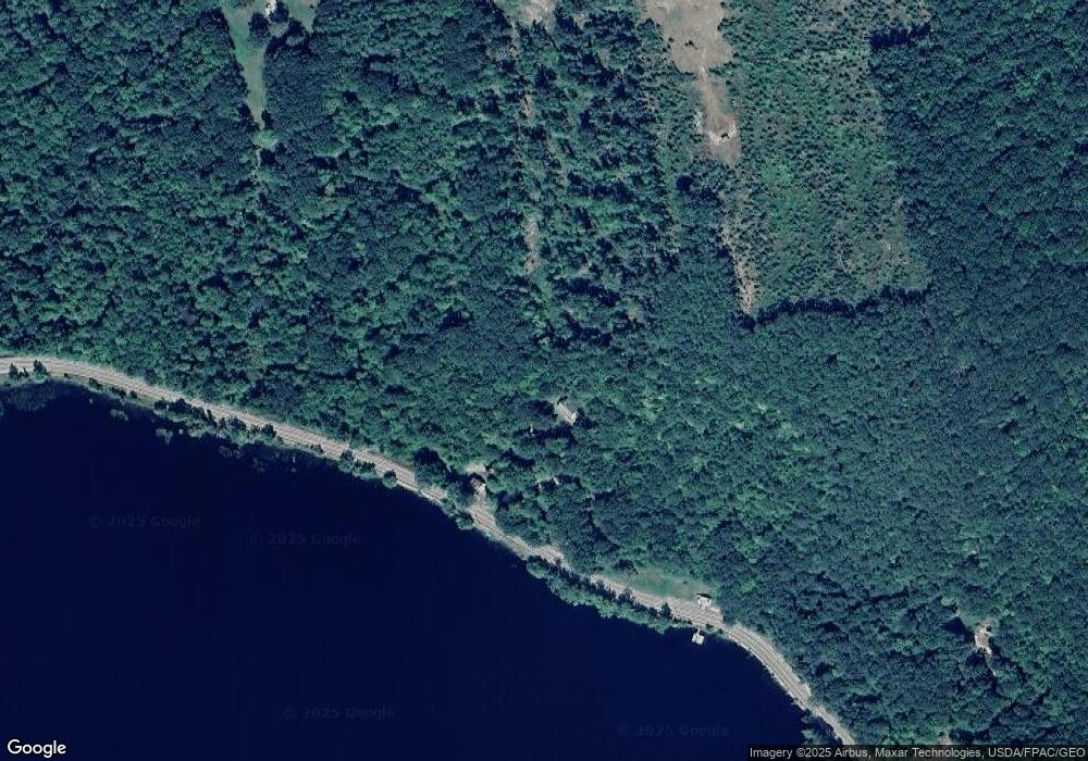
Map
Nearby Homes
- 42 Front St
- 1443 Main St
- 105 Arthur Allen Rd
- M19 L6-6 Tuell Hill Rd
- 729 Main St
- 20 Kittridge Brook Rd
- 1 Hemlock Haven
- 74 & 77 Tuell Town Rd
- M-R22/L14 Greenwoods Rd
- 133 Rosenberg Rd
- 120 Harbor Rd
- 27 Morse Hill Rd
- 70 Koskela Rd
- 66 Ridge Rd
- M13L18A-1 Redding Rd
- 174 Saunders Rd
- Lots 10&11 Davenport Rd
- Lot 19 Moody Brook Rd
- 216 Brock School Rd
- 80-002-A Road Less Traveled Rd
- 9 Heath Hill Rd
- 1235 Main St
- 00 Tuell Hill& Heath Hill Rd
- 000 Tuell Hill & Heath Hill Rd
- 1239 Main St
- 1207 Main St
- 1190 Main St
- 1184 Main St
- 46 Heath Hill Rd
- 1174 Main St
- 41 Cottage Rd
- 81 Cottage Rd
- 39 Cottage Rd
- 97 Cottage Rd
- 97 Heath Hill Rd
- 97 Heath Hill Rd
- 1148 Main St
- 1330 Main St
- 99 Cottage Rd
- 1147 Main St