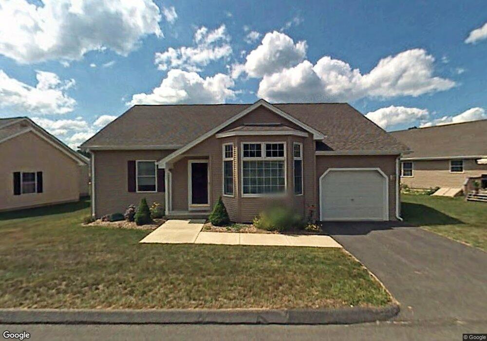
15 Hillside Farms Dr Unit 15 Broad Brook, CT 06016
Estimated Value: $329,972 - $377,000
2
Beds
2
Baths
1,390
Sq Ft
$254/Sq Ft
Est. Value
About This Home
This home is located at 15 Hillside Farms Dr Unit 15, Broad Brook, CT 06016 and is currently estimated at $352,493, approximately $253 per square foot. 15 Hillside Farms Dr Unit 15 is a home located in Hartford County with nearby schools including Broad Brook Elementary School, East Windsor Middle School, and East Windsor High School.
Ownership History
Date
Name
Owned For
Owner Type
Purchase Details
Closed on
Sep 10, 2009
Sold by
Luth Ruth Est
Bought by
Bancroft Constance
Current Estimated Value
Home Financials for this Owner
Home Financials are based on the most recent Mortgage that was taken out on this home.
Original Mortgage
$126,000
Outstanding Balance
$82,444
Interest Rate
5.36%
Estimated Equity
$270,049
Purchase Details
Closed on
May 20, 2004
Sold by
Depot Llc
Bought by
Luth Charles and Luth Rose
Create a Home Valuation Report for This Property
The Home Valuation Report is an in-depth analysis detailing your home's value as well as a comparison with similar homes in the area
Home Values in the Area
Average Home Value in this Area
Purchase History
| Date | Buyer | Sale Price | Title Company |
|---|---|---|---|
| Bancroft Constance | $210,000 | -- | |
| Luth Charles | $184,900 | -- |
Source: Public Records
Mortgage History
| Date | Status | Borrower | Loan Amount |
|---|---|---|---|
| Open | Luth Charles | $25,000 | |
| Open | Luth Charles | $75,000 | |
| Open | Luth Charles | $126,000 |
Source: Public Records
Tax History Compared to Growth
Tax History
| Year | Tax Paid | Tax Assessment Tax Assessment Total Assessment is a certain percentage of the fair market value that is determined by local assessors to be the total taxable value of land and additions on the property. | Land | Improvement |
|---|---|---|---|---|
| 2025 | $4,741 | $178,980 | $0 | $178,980 |
| 2024 | $4,396 | $178,980 | $0 | $178,980 |
| 2023 | $3,963 | $115,610 | $0 | $115,610 |
| 2022 | $3,975 | $115,610 | $0 | $115,610 |
| 2021 | $3,989 | $115,610 | $0 | $115,610 |
| 2020 | $4,014 | $115,610 | $0 | $115,610 |
| 2019 | $3,960 | $115,610 | $0 | $115,610 |
| 2018 | $3,919 | $115,610 | $0 | $115,610 |
| 2017 | $4,018 | $122,610 | $0 | $122,610 |
| 2016 | $3,792 | $122,610 | $0 | $122,610 |
| 2015 | $3,716 | $122,610 | $0 | $122,610 |
| 2014 | $3,651 | $122,610 | $0 | $122,610 |
Source: Public Records
Map
Nearby Homes
- 21 Maple Ave
- 4 Rye St
- 159 Depot St
- 111 Old Ellington Rd
- 35 Church St
- 3 Eastwood Dr
- 8 Reggie Way Unit B
- 149 Melrose Rd
- 18 Folkstone Rd Unit B
- 27 Margaret Dr
- 183 Chamberlain Rd
- 7 East Rd
- 62 Rice Rd
- 10 Hayfield Ln
- 77 Thrall Rd
- 143 North Rd
- 0 Wells Rd
- 77 Wells Rd
- 20 Apothecaries Hall Rd
- 0 Chamberlain Rd Unit 24129492
- 15 Hillside Farms Dr
- 11 Hillside Farms Dr
- 9 Hillside Farms Dr
- 51 Hillside Farms Dr Unit A
- 51 Hillside Farms Dr Unit B
- 51 Hillside Farms Dr Unit 51
- 14 Hillside Farms Dr
- 14 Hillside Farms Dr Unit 14
- 10 Hillside Farms Dr
- 49 Hillside Farms Dr
- 49 Hillside Farms Dr Unit 49
- 31 Hillside Farms Dr
- 33 Hillside Farms Dr
- 8 Hillside Farms Dr
- 8 Hillside Farms Dr Unit 8
- 12 Hillside Farms Dr
- 29 Hillside Farms Dr
- 35 Hillside Farms Dr
- 6 Hillside Farms Dr
- 6 Hillside Farms Dr Unit 6