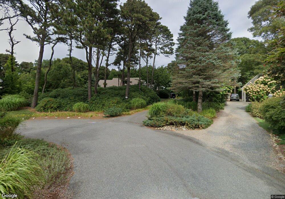
15 Holly Ln Unit TOMS Orleans, MA 02653
Estimated Value: $756,000 - $1,797,760
4
Beds
3
Baths
2,819
Sq Ft
$478/Sq Ft
Est. Value
About This Home
This home is located at 15 Holly Ln Unit TOMS, Orleans, MA 02653 and is currently estimated at $1,347,190, approximately $477 per square foot. 15 Holly Ln Unit TOMS is a home located in Barnstable County with nearby schools including Orleans Elementary School, Nauset Regional Middle School, and Nauset Regional High School.
Ownership History
Date
Name
Owned For
Owner Type
Purchase Details
Closed on
May 10, 2016
Sold by
15 Toms Hollow Lane Re and Baybutt
Bought by
Henry Stearns Baybutt and Henry Stearns-Baybutt
Current Estimated Value
Purchase Details
Closed on
Oct 19, 2004
Sold by
Baybutt Henry and Baybutt Theresa N
Bought by
15 Toms Hollow Ln Rt and Baybutt
Purchase Details
Closed on
Mar 17, 1999
Sold by
Belfer Myron L and Belfer Sandra
Bought by
Baybutt Henry S and Baybutt Theresa N
Home Financials for this Owner
Home Financials are based on the most recent Mortgage that was taken out on this home.
Original Mortgage
$220,000
Interest Rate
6.74%
Mortgage Type
Purchase Money Mortgage
Create a Home Valuation Report for This Property
The Home Valuation Report is an in-depth analysis detailing your home's value as well as a comparison with similar homes in the area
Home Values in the Area
Average Home Value in this Area
Purchase History
| Date | Buyer | Sale Price | Title Company |
|---|---|---|---|
| Henry Stearns Baybutt | -- | -- | |
| Baybutt Henry Stearns | -- | -- | |
| Henry Stearns Baybutt | -- | -- | |
| 15 Toms Hollow Ln Rt | -- | -- | |
| 15 Toms Hollow Ln Rt | -- | -- | |
| 15 Toms Hollow Ln Rt | -- | -- | |
| Baybutt Henry S | $280,000 | -- | |
| Baybutt Henry S | $280,000 | -- |
Source: Public Records
Mortgage History
| Date | Status | Borrower | Loan Amount |
|---|---|---|---|
| Previous Owner | Baybutt Henry S | $220,000 | |
| Previous Owner | Baybutt Henry S | $125,000 |
Source: Public Records
Tax History Compared to Growth
Tax History
| Year | Tax Paid | Tax Assessment Tax Assessment Total Assessment is a certain percentage of the fair market value that is determined by local assessors to be the total taxable value of land and additions on the property. | Land | Improvement |
|---|---|---|---|---|
| 2025 | $10,212 | $1,636,600 | $0 | $1,636,600 |
| 2024 | $7,777 | $1,213,200 | $0 | $1,213,200 |
| 2023 | $6,999 | $1,123,500 | $0 | $1,123,500 |
| 2022 | $6,330 | $879,100 | $0 | $879,100 |
| 2021 | $6,544 | $834,700 | $0 | $834,700 |
| 2020 | $5,988 | $792,100 | $0 | $792,100 |
| 2019 | $5,722 | $773,200 | $0 | $773,200 |
| 2018 | $4,984 | $751,700 | $0 | $751,700 |
| 2017 | $4,542 | $717,600 | $0 | $717,600 |
| 2016 | $3,990 | $617,700 | $0 | $617,700 |
| 2015 | $3,910 | $609,100 | $0 | $609,100 |
Source: Public Records
Map
Nearby Homes
- 7 Brick Hill Rd
- 7 Brick Hill Ext Rd
- 34 Cedar Land Rd
- 36 Cedar Land Rd
- 25 Pleasant View Dr
- 110 Beach Rd
- 11 Cedar Land Rd
- 15 Dale Ann Dr
- 131 Pochet Rd
- 11 Fox Ridge Dr
- 24 Sparrowhawk Rd
- 19 Nauset Farms Private Way
- 12 Windswept Ln
- 53 Great Oak Rd
- 18 Cole Place
- 216 Main St
- 2 Little Cove Ln
- 66 Tides End Ln
- 17 Pendleton Dr
- 15 Tanglewood Terrace