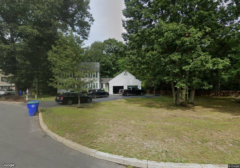
15 Howland Way Rockland, MA 02370
Estimated Value: $621,000 - $703,000
--
Bed
3
Baths
1,744
Sq Ft
$384/Sq Ft
Est. Value
About This Home
This home is located at 15 Howland Way, Rockland, MA 02370 and is currently estimated at $668,899, approximately $383 per square foot. 15 Howland Way is a home located in Plymouth County with nearby schools including Rockland Senior High School, Calvary Chapel Academy, and Holy Family Elementary School.
Ownership History
Date
Name
Owned For
Owner Type
Purchase Details
Closed on
Jul 12, 2024
Sold by
Nota Frank B and Nota Angela B
Bought by
Dibara Alicia L and Nota Mark J
Current Estimated Value
Purchase Details
Closed on
Jun 30, 1997
Sold by
Mccarthy Daniel J and Mccarthy Kimberly A
Bought by
Nota Frank B and Nota Angela B
Purchase Details
Closed on
Feb 3, 1993
Sold by
Adeline Rt and Mahon
Bought by
Mccarthy Daniel J and Mccarthy Kimberly A
Home Financials for this Owner
Home Financials are based on the most recent Mortgage that was taken out on this home.
Original Mortgage
$124,500
Interest Rate
8.1%
Mortgage Type
Purchase Money Mortgage
Create a Home Valuation Report for This Property
The Home Valuation Report is an in-depth analysis detailing your home's value as well as a comparison with similar homes in the area
Home Values in the Area
Average Home Value in this Area
Purchase History
| Date | Buyer | Sale Price | Title Company |
|---|---|---|---|
| Dibara Alicia L | -- | None Available | |
| Dibara Alicia L | -- | None Available | |
| Nota Frank B | $174,000 | -- | |
| Nota Frank B | $174,000 | -- | |
| Mccarthy Daniel J | $142,500 | -- |
Source: Public Records
Mortgage History
| Date | Status | Borrower | Loan Amount |
|---|---|---|---|
| Previous Owner | Mccarthy Daniel J | $50,000 | |
| Previous Owner | Mccarthy Daniel J | $124,500 |
Source: Public Records
Tax History Compared to Growth
Tax History
| Year | Tax Paid | Tax Assessment Tax Assessment Total Assessment is a certain percentage of the fair market value that is determined by local assessors to be the total taxable value of land and additions on the property. | Land | Improvement |
|---|---|---|---|---|
| 2025 | $8,670 | $634,200 | $254,500 | $379,700 |
| 2024 | $8,416 | $598,600 | $240,100 | $358,500 |
| 2023 | $8,426 | $553,600 | $220,200 | $333,400 |
| 2022 | $8,075 | $482,100 | $191,500 | $290,600 |
| 2021 | $0 | $442,500 | $174,100 | $268,400 |
| 2020 | $4,023 | $432,500 | $173,700 | $258,800 |
| 2019 | $7,442 | $415,300 | $165,500 | $249,800 |
| 2018 | $7,181 | $394,100 | $173,000 | $221,100 |
| 2017 | $6,963 | $376,800 | $173,000 | $203,800 |
| 2016 | $6,743 | $364,700 | $166,300 | $198,400 |
| 2015 | $6,436 | $338,200 | $155,500 | $182,700 |
| 2014 | $6,120 | $333,700 | $152,400 | $181,300 |
Source: Public Records
Map
Nearby Homes
- 46 Wardson Cir
- 20 Birch St
- 27 Fir Rd
- 40 Fir Rd Unit 386
- 57 Battery St
- 11 Chestnut Cir
- 29 West St
- 28 Nevens Cir
- 6 Chestnut Cir
- 120 Glen St
- 1 Canterbury Ln
- 3 Hickory Cir
- 11 Hawthorne St
- 86 Leisurewoods Dr Unit 279
- 9 Juniper Cir
- 5 Juniper Cir
- 94 Leisurewoods Dr
- 100 North Ave
- 10 Horn Beam St Unit 299
- 122 Reed St