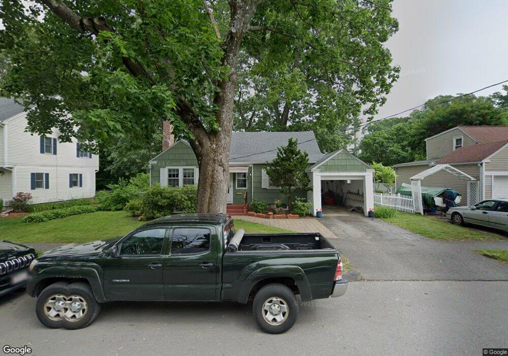
15 Hunthurst Cir Worcester, MA 01602
Tatnuck NeighborhoodEstimated Value: $462,000 - $498,000
3
Beds
4
Baths
1,844
Sq Ft
$262/Sq Ft
Est. Value
About This Home
This home is located at 15 Hunthurst Cir, Worcester, MA 01602 and is currently estimated at $483,277, approximately $262 per square foot. 15 Hunthurst Cir is a home located in Worcester County with nearby schools including Chandler Magnet, Jacob Hiatt Magnet School, and May Street Elementary School.
Ownership History
Date
Name
Owned For
Owner Type
Purchase Details
Closed on
Nov 25, 1998
Sold by
Dziejma Mary F
Bought by
Matthews Stephen J and Oconnor Sheelagh M
Current Estimated Value
Home Financials for this Owner
Home Financials are based on the most recent Mortgage that was taken out on this home.
Original Mortgage
$111,150
Interest Rate
6.83%
Mortgage Type
Purchase Money Mortgage
Create a Home Valuation Report for This Property
The Home Valuation Report is an in-depth analysis detailing your home's value as well as a comparison with similar homes in the area
Home Values in the Area
Average Home Value in this Area
Purchase History
| Date | Buyer | Sale Price | Title Company |
|---|---|---|---|
| Matthews Stephen J | $117,000 | -- |
Source: Public Records
Mortgage History
| Date | Status | Borrower | Loan Amount |
|---|---|---|---|
| Open | Matthews Stephen J | $115,000 | |
| Closed | Matthews Stephen J | $100,400 | |
| Closed | Matthews Stephen J | $25,000 | |
| Closed | Matthews Stephen J | $111,150 |
Source: Public Records
Tax History Compared to Growth
Tax History
| Year | Tax Paid | Tax Assessment Tax Assessment Total Assessment is a certain percentage of the fair market value that is determined by local assessors to be the total taxable value of land and additions on the property. | Land | Improvement |
|---|---|---|---|---|
| 2025 | $5,180 | $392,700 | $117,500 | $275,200 |
| 2024 | $5,072 | $368,900 | $117,500 | $251,400 |
| 2023 | $4,871 | $339,700 | $102,200 | $237,500 |
| 2022 | $4,473 | $294,100 | $81,800 | $212,300 |
| 2021 | $4,402 | $270,400 | $65,400 | $205,000 |
| 2020 | $4,284 | $252,000 | $65,400 | $186,600 |
| 2019 | $4,075 | $226,400 | $58,800 | $167,600 |
| 2018 | $4,088 | $216,200 | $58,800 | $157,400 |
| 2017 | $3,909 | $203,400 | $58,800 | $144,600 |
| 2016 | $3,860 | $187,300 | $42,700 | $144,600 |
| 2015 | $3,759 | $187,300 | $42,700 | $144,600 |
| 2014 | $3,660 | $187,300 | $42,700 | $144,600 |
Source: Public Records
Map
Nearby Homes
- 563 Chandler St
- 47R Yarnie Unit 3B
- 47R Yarnie Unit 3A
- 47R Yarnie Unit 1B
- 47R Yarnie Unit 2B
- 47R Yarnie Unit 4B
- 47R Yarnie Unit 8B
- 47R Yarnie Unit 5A
- 47R Yarnie Unit 6B
- 47R Yarnie Unit 4A
- 47R Yarnie Unit 1A
- 47R Yarnie Unit 9
- 47R Yarnie Unit 8A
- 47R Yarnie Unit 6A
- 47R Yarnie Unit 7A
- 47R Yarnie Unit 5B
- 47R Yarnie Unit 2A
- 47R Yarnie Unit 7B
- 20 Manhattan Rd
- 71 Glendale St
- 17 Hunthurst Cir
- 13 Hunthurst Cir
- 23 Hunthurst Cir
- 21 Hunthurst Cir
- 25 Hunthurst Cir
- 11 Hunthurst Cir
- 12 Hunthurst Cir
- 51 Hunthurst Cir
- 10 Hunthurst Cir
- 14 Hunthurst Cir
- 27 Hunthurst Cir
- 16 Hunthurst Cir
- 8 Hunthurst Cir
- 26 Hunthurst Cir
- 28 Hunthurst Cir
- 18 Hunthurst Cir
- 24 Hunthurst Cir
- 53 Hunthurst Cir
- 6 Hunthurst Cir
- 5 Hunthurst Cir