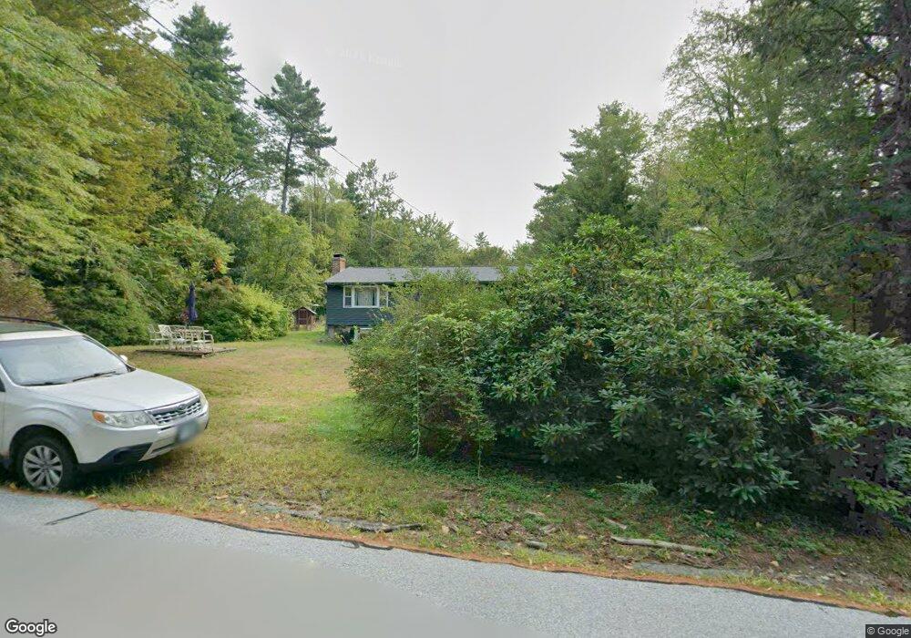
15 Juniper Dr Amherst, NH 03031
Estimated Value: $458,000 - $522,000
3
Beds
1
Bath
1,144
Sq Ft
$434/Sq Ft
Est. Value
About This Home
This home is located at 15 Juniper Dr, Amherst, NH 03031 and is currently estimated at $496,468, approximately $433 per square foot. 15 Juniper Dr is a home with nearby schools including Wilkins Elementary School, Amherst Middle School, and Souhegan Cooperative High School.
Ownership History
Date
Name
Owned For
Owner Type
Purchase Details
Closed on
Nov 26, 1996
Sold by
Jones Jean E
Bought by
Maxwell Bradford H and Maxwell Joann I
Current Estimated Value
Home Financials for this Owner
Home Financials are based on the most recent Mortgage that was taken out on this home.
Original Mortgage
$112,321
Interest Rate
7.81%
Create a Home Valuation Report for This Property
The Home Valuation Report is an in-depth analysis detailing your home's value as well as a comparison with similar homes in the area
Home Values in the Area
Average Home Value in this Area
Purchase History
| Date | Buyer | Sale Price | Title Company |
|---|---|---|---|
| Maxwell Bradford H | $113,000 | -- |
Source: Public Records
Mortgage History
| Date | Status | Borrower | Loan Amount |
|---|---|---|---|
| Open | Maxwell Bradford H | $198,900 | |
| Closed | Maxwell Bradford H | $208,000 | |
| Closed | Maxwell Bradford H | $112,321 |
Source: Public Records
Tax History
| Year | Tax Paid | Tax Assessment Tax Assessment Total Assessment is a certain percentage of the fair market value that is determined by local assessors to be the total taxable value of land and additions on the property. | Land | Improvement |
|---|---|---|---|---|
| 2025 | $7,863 | $327,900 | $134,000 | $193,900 |
| 2024 | $7,519 | $327,900 | $134,000 | $193,900 |
| 2023 | $7,161 | $327,300 | $134,000 | $193,300 |
| 2022 | $6,916 | $327,300 | $134,000 | $193,300 |
| 2021 | $6,975 | $327,300 | $134,000 | $193,300 |
| 2020 | $6,217 | $218,300 | $107,200 | $111,100 |
| 2019 | $5,885 | $218,300 | $107,200 | $111,100 |
| 2018 | $5,944 | $218,300 | $107,200 | $111,100 |
| 2017 | $5,678 | $218,300 | $107,200 | $111,100 |
| 2016 | $5,479 | $218,300 | $107,200 | $111,100 |
| 2015 | $5,397 | $203,800 | $115,900 | $87,900 |
| 2014 | $5,433 | $203,800 | $115,900 | $87,900 |
| 2013 | $5,428 | $205,200 | $115,900 | $89,300 |
Source: Public Records
Map
Nearby Homes
- 0 Claude Rd
- 18 Souhegan St
- 27 Nathan Lord Rd
- 57 Patch Hill Ln
- 30 Perkins St Unit 4
- 322 Nashua St Unit 21
- 3 Abby Ln Unit 1
- 377 Nashua St
- 229 Mont Vernon Rd
- 22 Webster St
- 4 Orange St
- 15 West St
- 486 Nashua St Unit 104
- 50 Christian Hill Rd
- 15 Martingale Rd
- 59 Ponemah Hill Rd Unit 1-201
- 1 W Meadow Ct
- 0 Briar Cliff Dr
- 1A Debbie Ln
- 145 Westchester Dr
Your Personal Tour Guide
Ask me questions while you tour the home.