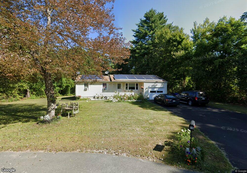
15 Kamins Cir Amherst, MA 01002
Estimated Value: $398,864 - $458,000
3
Beds
1
Bath
1,216
Sq Ft
$348/Sq Ft
Est. Value
About This Home
This home is located at 15 Kamins Cir, Amherst, MA 01002 and is currently estimated at $423,716, approximately $348 per square foot. 15 Kamins Cir is a home located in Hampshire County with nearby schools including Crocker Farm Elementary School, Amherst Regional Middle School, and Amherst Regional High School.
Ownership History
Date
Name
Owned For
Owner Type
Purchase Details
Closed on
Aug 29, 2006
Sold by
Marks Jordan S
Bought by
Cruz Dinora and Sibrian Roberto C
Current Estimated Value
Home Financials for this Owner
Home Financials are based on the most recent Mortgage that was taken out on this home.
Original Mortgage
$228,000
Outstanding Balance
$138,112
Interest Rate
6.83%
Mortgage Type
Purchase Money Mortgage
Estimated Equity
$285,604
Purchase Details
Closed on
Jun 12, 1998
Sold by
Lii Shiow Jen Lin and Lin Reng Yun
Bought by
Marks Jordan S
Home Financials for this Owner
Home Financials are based on the most recent Mortgage that was taken out on this home.
Original Mortgage
$91,920
Interest Rate
7.11%
Mortgage Type
Purchase Money Mortgage
Create a Home Valuation Report for This Property
The Home Valuation Report is an in-depth analysis detailing your home's value as well as a comparison with similar homes in the area
Home Values in the Area
Average Home Value in this Area
Purchase History
| Date | Buyer | Sale Price | Title Company |
|---|---|---|---|
| Cruz Dinora | $240,000 | -- | |
| Marks Jordan S | $114,900 | -- |
Source: Public Records
Mortgage History
| Date | Status | Borrower | Loan Amount |
|---|---|---|---|
| Open | Cruz Dinora | $228,000 | |
| Previous Owner | Marks Jordan S | $91,000 | |
| Previous Owner | Marks Jordan S | $91,920 |
Source: Public Records
Tax History
| Year | Tax Paid | Tax Assessment Tax Assessment Total Assessment is a certain percentage of the fair market value that is determined by local assessors to be the total taxable value of land and additions on the property. | Land | Improvement |
|---|---|---|---|---|
| 2025 | $57 | $316,700 | $159,100 | $157,600 |
| 2024 | $5,540 | $299,300 | $150,100 | $149,200 |
| 2023 | $5,331 | $265,200 | $136,500 | $128,700 |
| 2022 | $5,139 | $241,600 | $124,100 | $117,500 |
| 2021 | $4,883 | $223,800 | $114,900 | $108,900 |
| 2020 | $4,771 | $223,800 | $114,900 | $108,900 |
| 2019 | $4,661 | $213,800 | $114,900 | $98,900 |
| 2018 | $4,520 | $213,800 | $114,900 | $98,900 |
| 2017 | $4,414 | $202,200 | $109,500 | $92,700 |
| 2016 | $4,291 | $202,200 | $109,500 | $92,700 |
| 2015 | $4,153 | $202,200 | $109,500 | $92,700 |
Source: Public Records
Map
Nearby Homes
- 170 E Hadley Rd Unit 87
- 141 Tracy Cir
- 6 Eveningstar Dr
- 89 Potwine Ln
- 26 Greenleaves Dr Unit 635
- 24 Greenleaves Dr Unit 418
- 27 Greenleaves Dr Unit 726
- 30 Greenleaves Dr
- 53 Pine Grove Unit 53
- 67 Pine Grove Unit 67
- 100 Larkspur Dr
- 310 Belchertown Rd
- 0 Main St
- 63 Amity Place Unit 63
- 75 Amity Place Unit 75
- 174 Lincoln Ave
- 13 Vista Terrace
- 48 Gray St
- 19 Baldwin Ln
- 1 Autumn Ln
Your Personal Tour Guide
Ask me questions while you tour the home.