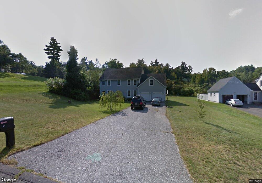
15 Labrie Ln Holyoke, MA 01040
Estimated Value: $525,789 - $574,000
4
Beds
3
Baths
2,838
Sq Ft
$195/Sq Ft
Est. Value
About This Home
This home is located at 15 Labrie Ln, Holyoke, MA 01040 and is currently estimated at $552,947, approximately $194 per square foot. 15 Labrie Ln is a home located in Hampden County with nearby schools including Lt. Clayre Sullivan Elementary School, Holyoke High School, and Westfield Christian Academy.
Ownership History
Date
Name
Owned For
Owner Type
Purchase Details
Closed on
Jul 9, 1999
Sold by
Temkin David S and Temkin Anna M
Bought by
Sullivan Edward J and Sullivan Lynne
Current Estimated Value
Home Financials for this Owner
Home Financials are based on the most recent Mortgage that was taken out on this home.
Original Mortgage
$125,000
Interest Rate
7.19%
Mortgage Type
Purchase Money Mortgage
Create a Home Valuation Report for This Property
The Home Valuation Report is an in-depth analysis detailing your home's value as well as a comparison with similar homes in the area
Home Values in the Area
Average Home Value in this Area
Purchase History
| Date | Buyer | Sale Price | Title Company |
|---|---|---|---|
| Sullivan Edward J | $29,900 | -- |
Source: Public Records
Mortgage History
| Date | Status | Borrower | Loan Amount |
|---|---|---|---|
| Open | Sullivan Edward J | $61,800 | |
| Open | Sullivan Edward J | $182,700 | |
| Closed | Sullivan Edward J | $20,000 | |
| Closed | Sullivan Edward J | $125,000 |
Source: Public Records
Tax History Compared to Growth
Tax History
| Year | Tax Paid | Tax Assessment Tax Assessment Total Assessment is a certain percentage of the fair market value that is determined by local assessors to be the total taxable value of land and additions on the property. | Land | Improvement |
|---|---|---|---|---|
| 2025 | $8,379 | $479,900 | $89,900 | $390,000 |
| 2024 | $8,029 | $423,700 | $85,600 | $338,100 |
| 2023 | $7,669 | $408,800 | $85,600 | $323,200 |
| 2022 | $7,352 | $381,700 | $85,600 | $296,100 |
| 2021 | $7,175 | $368,300 | $85,600 | $282,700 |
| 2020 | $6,722 | $352,300 | $85,600 | $266,700 |
| 2019 | $6,769 | $350,900 | $85,600 | $265,300 |
| 2018 | $6,517 | $337,100 | $85,600 | $251,500 |
| 2017 | $6,462 | $337,100 | $85,600 | $251,500 |
| 2016 | $6,044 | $316,100 | $88,300 | $227,800 |
| 2015 | $6,019 | $316,100 | $88,300 | $227,800 |
Source: Public Records
Map
Nearby Homes
- 267 Southampton Rd
- 39 Cook Rd
- 36 County Rd
- 7 Western View Rd
- 59 Mountain Rd
- 63 Pomeroy St
- 26 Eastwood Ln
- 40 Division St
- 13 Golden Dr
- Lot 57 White Loaf Rd
- 9 Sandra Rd
- 63 Jarvis Ave
- 33 Maple Crest Cir Unit D
- 7 Maple Crest Cir Unit E
- 34 Maple Crest Cir Unit D
- 14 Scott Hollow Dr
- 10 Humeston Slope
- 55 Longfellow Rd
- 20 Longfellow Rd
- 102 W Meadowview Rd