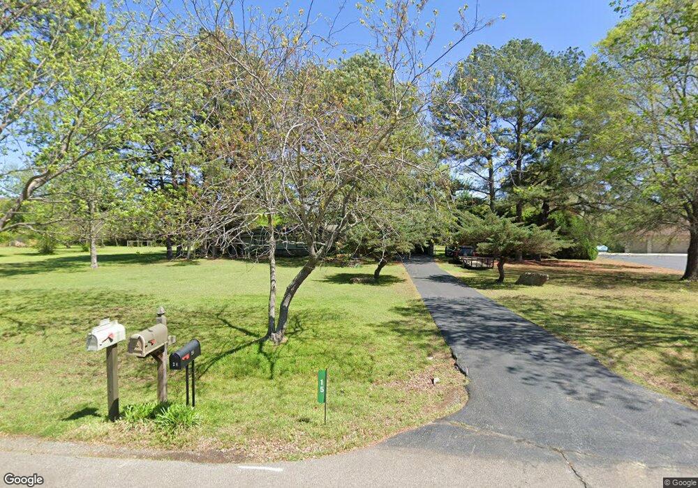
15 Lake Point Dr Conway, AR 72032
Estimated Value: $252,000 - $291,000
--
Bed
2
Baths
1,675
Sq Ft
$160/Sq Ft
Est. Value
About This Home
This home is located at 15 Lake Point Dr, Conway, AR 72032 and is currently estimated at $268,353, approximately $160 per square foot. 15 Lake Point Dr is a home located in Faulkner County with nearby schools including Theodore Jones Elementary School, Conway Junior High School, and Conway High School.
Ownership History
Date
Name
Owned For
Owner Type
Purchase Details
Closed on
Apr 2, 2019
Sold by
Thornton Linda F
Bought by
Linda F Thornton Revocable Trust
Current Estimated Value
Purchase Details
Closed on
Jan 31, 2006
Sold by
King Dale S
Bought by
Thornton Linda F and Carter Charles
Home Financials for this Owner
Home Financials are based on the most recent Mortgage that was taken out on this home.
Original Mortgage
$70,000
Interest Rate
6.24%
Mortgage Type
Future Advance Clause Open End Mortgage
Purchase Details
Closed on
May 17, 1976
Bought by
Thornton
Create a Home Valuation Report for This Property
The Home Valuation Report is an in-depth analysis detailing your home's value as well as a comparison with similar homes in the area
Home Values in the Area
Average Home Value in this Area
Purchase History
| Date | Buyer | Sale Price | Title Company |
|---|---|---|---|
| Linda F Thornton Revocable Trust | -- | None Available | |
| Thornton Linda F | $90,000 | None Available | |
| Thornton | -- | -- |
Source: Public Records
Mortgage History
| Date | Status | Borrower | Loan Amount |
|---|---|---|---|
| Closed | Thornton Linda F | $70,000 |
Source: Public Records
Tax History Compared to Growth
Tax History
| Year | Tax Paid | Tax Assessment Tax Assessment Total Assessment is a certain percentage of the fair market value that is determined by local assessors to be the total taxable value of land and additions on the property. | Land | Improvement |
|---|---|---|---|---|
| 2024 | $1,471 | $46,570 | $8,440 | $38,130 |
| 2023 | $1,338 | $28,830 | $8,440 | $20,390 |
| 2022 | $1,438 | $28,830 | $8,440 | $20,390 |
| 2021 | $1,350 | $28,830 | $8,440 | $20,390 |
| 2020 | $1,233 | $25,280 | $6,080 | $19,200 |
| 2019 | $1,233 | $25,280 | $6,080 | $19,200 |
| 2018 | $1,233 | $25,280 | $6,080 | $19,200 |
| 2017 | $1,233 | $25,280 | $6,080 | $19,200 |
| 2016 | $1,233 | $25,280 | $6,080 | $19,200 |
| 2015 | $1,091 | $23,510 | $5,650 | $17,860 |
| 2014 | $1,151 | $23,510 | $5,650 | $17,860 |
Source: Public Records
Map
Nearby Homes
- 16 Pinecrest Ct
- 393 U S 65
- 20 Caddo Dr
- 6 Pinecrest Ct
- 23 Gapview Rd
- 1950 Shadow Falls Dr
- 3610 Breezy Cir
- 122 N Woodland Dr
- 3030 Plateau Dr
- 1250 Edge Valley Dr N
- 2800 Plateau Dr
- 700 Acklin Gap Rd
- 6 Cedar Hill Rd
- 65 Tanager Trail
- 7 Sycamore Dr
- 9 Sycamore Dr
- 1075 Gallery Dr
- 2255 Mary Alice Dr
- 220 E Grandview Heights Dr
- 0 Victory Ln
- 28 Lake Point Dr
- 9 Lake Point Dr
- 30 Lake Point Dr
- 43 Beaverfork Rd
- 5 Lake Point Dr
- 4 Lake Point Dr
- 26 Lake Point Dr
- 1 Lake Point Dr
- 2 Lake Point Dr
- 0 Lake Point Dr
- 46 Beaverfork Rd
- 44 Beaverfork Rd
- 40 Beaverfork Rd
- 27 Beaverfork Rd
- LOT 2 Beaverfork Place
- 2 Beaver Rd
- 23 Beaverfork Rd
- 56 Beaverfork Rd
- 78 Lakeview Dr
- 38 Valley Ridge Rd