15 Landing Rd Southport, ME 04576
Estimated Value: $470,190 - $788,000
2
Beds
1
Bath
1,060
Sq Ft
$608/Sq Ft
Est. Value
About This Home
This home is located at 15 Landing Rd, Southport, ME 04576 and is currently estimated at $644,048, approximately $607 per square foot. 15 Landing Rd is a home located in Lincoln County with nearby schools including Southport Central School.
Ownership History
Date
Name
Owned For
Owner Type
Purchase Details
Closed on
Jan 22, 2014
Sold by
Dingle Robert J and Dingle Lisa R
Bought by
Rego Michael T and Rego Anna M
Current Estimated Value
Purchase Details
Closed on
Nov 20, 2006
Sold by
Luthin George and Luthin Sharon
Bought by
Rego Anna M and Rego Michael T
Home Financials for this Owner
Home Financials are based on the most recent Mortgage that was taken out on this home.
Original Mortgage
$383,200
Interest Rate
6.33%
Mortgage Type
Purchase Money Mortgage
Create a Home Valuation Report for This Property
The Home Valuation Report is an in-depth analysis detailing your home's value as well as a comparison with similar homes in the area
Home Values in the Area
Average Home Value in this Area
Purchase History
| Date | Buyer | Sale Price | Title Company |
|---|---|---|---|
| Rego Michael T | -- | -- | |
| Rego Michael T | -- | -- | |
| Rego Anna M | -- | -- | |
| Rego Anna M | -- | -- | |
| Rego Anna M | -- | -- |
Source: Public Records
Mortgage History
| Date | Status | Borrower | Loan Amount |
|---|---|---|---|
| Previous Owner | Rego Anna M | $383,200 | |
| Previous Owner | Rego Anna M | $49,700 |
Source: Public Records
Tax History Compared to Growth
Tax History
| Year | Tax Paid | Tax Assessment Tax Assessment Total Assessment is a certain percentage of the fair market value that is determined by local assessors to be the total taxable value of land and additions on the property. | Land | Improvement |
|---|---|---|---|---|
| 2024 | $1,683 | $295,730 | $62,400 | $233,330 |
| 2023 | $1,553 | $295,730 | $62,400 | $233,330 |
| 2022 | $1,538 | $295,730 | $62,400 | $233,330 |
| 2021 | $1,686 | $295,730 | $62,400 | $233,330 |
| 2020 | $0 | $348,730 | $115,400 | $233,330 |
| 2019 | $636 | $348,730 | $115,400 | $233,330 |
| 2018 | $617 | $348,730 | $115,400 | $233,330 |
| 2017 | $599 | $348,730 | $115,400 | $233,330 |
| 2016 | $588 | $348,730 | $115,400 | $233,330 |
| 2007 | -- | $348,730 | $115,400 | $233,330 |
Source: Public Records
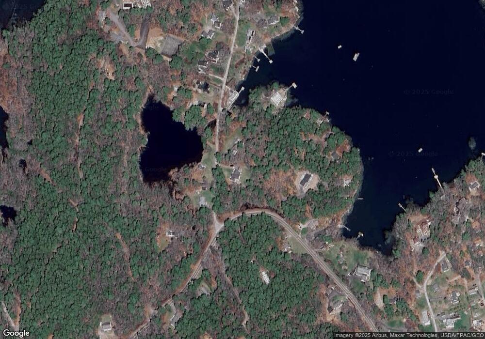
Map
Nearby Homes
- 3 Cedar Ln Unit 3
- 1 Cedar Ln Unit 1
- 17 Cedar Ln Unit 17
- 14 Pinkie Ln
- 26 Sea St
- 12 Sea St
- 53 Commercial St
- 461 Hendricks Hill Rd
- 27 Townsend Ave
- 34 Townsend Ave
- 37 Townsend Ave
- 66 Townsend Avenue & 43 Oak St
- 43 Oak St
- 66 Townsend Ave
- 63 Townsend Ave
- 40 Atlantic Ave
- 391 Cape Newagen Rd
- 31 Bay St
- 44-4 Windrush Ln
- 74 & 76 Bay St
- 17 Landing Rd
- 103 Hendricks Hill Rd
- 18 Landing Rd
- 10 Landing Rd
- 0 Landing Rd
- 0 Landing Road Extension
- 32 Landing Rd
- 35 Landing Rd
- 99 Hendricks Hill Rd
- 76 Hendricks Hill Rd
- 75 Hendricks Hill Rd
- 36 Landing Rd
- 25 Pleasant Point Rd
- 23 Pleasant Point Rd
- 73 Hendricks Hill Rd
- 90 Hendricks Hill Rd
- 112 Hendricks Hill Rd
- 46 Landing Rd
- 108 Hendricks Hill Rd
- 112 Hendricks Hill Rd