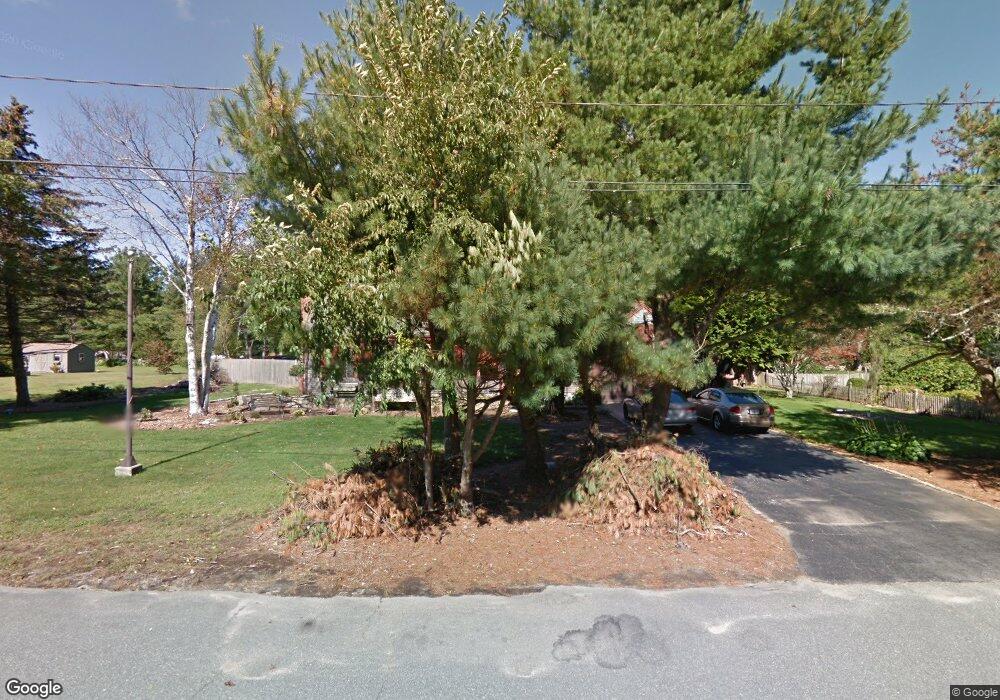
15 Lantern Ln Acushnet, MA 02743
Estimated Value: $566,350 - $647,000
Studio
2
Baths
1,841
Sq Ft
$331/Sq Ft
Est. Value
About This Home
This home is located at 15 Lantern Ln, Acushnet, MA 02743 and is currently estimated at $609,088, approximately $330 per square foot. 15 Lantern Ln is a home located in Bristol County with nearby schools including Acushnet Elementary School, Albert F Ford Middle School, and St Francis Xavier Elementary School.
Ownership History
Date
Name
Owned For
Owner Type
Purchase Details
Closed on
Oct 13, 2010
Sold by
Cournoyer Sandra Ann
Bought by
Cournoyer Michael J
Current Estimated Value
Home Financials for this Owner
Home Financials are based on the most recent Mortgage that was taken out on this home.
Original Mortgage
$176,000
Outstanding Balance
$116,200
Interest Rate
4.36%
Mortgage Type
Purchase Money Mortgage
Estimated Equity
$492,888
Purchase Details
Closed on
Aug 17, 2009
Sold by
Cournoyer Joseph Normand and Cournoyer Sandra Ann
Bought by
Cournoyer Sandra Ann
Create a Home Valuation Report for This Property
The Home Valuation Report is an in-depth analysis detailing your home's value as well as a comparison with similar homes in the area
Purchase History
| Date | Buyer | Sale Price | Title Company |
|---|---|---|---|
| Cournoyer Michael J | $220,000 | -- | |
| Cournoyer Sandra Ann | -- | -- |
Source: Public Records
Mortgage History
| Date | Status | Borrower | Loan Amount |
|---|---|---|---|
| Open | Cournoyer Sandra Ann | $176,000 | |
| Previous Owner | Cournoyer Sandra Ann | $100,000 | |
| Previous Owner | Cournoyer Sandra Ann | $53,000 |
Source: Public Records
Tax History
| Year | Tax Paid | Tax Assessment Tax Assessment Total Assessment is a certain percentage of the fair market value that is determined by local assessors to be the total taxable value of land and additions on the property. | Land | Improvement |
|---|---|---|---|---|
| 2025 | $50 | $467,700 | $154,100 | $313,600 |
| 2024 | $4,799 | $420,600 | $134,800 | $285,800 |
| 2023 | $4,853 | $404,400 | $122,800 | $281,600 |
| 2022 | $4,806 | $362,200 | $115,500 | $246,700 |
| 2021 | $4,485 | $324,300 | $115,500 | $208,800 |
| 2020 | $4,521 | $324,300 | $115,500 | $208,800 |
| 2019 | $4,384 | $309,200 | $115,500 | $193,700 |
| 2018 | $4,264 | $295,700 | $115,500 | $180,200 |
| 2017 | $4,149 | $287,300 | $115,500 | $171,800 |
| 2016 | $4,174 | $287,300 | $115,500 | $171,800 |
| 2015 | $3,861 | $270,400 | $115,500 | $154,900 |
Source: Public Records
Map
Nearby Homes
- 199 Quaker Ln
- 0 Keene Rd Unit 73459818
- 168 Keene Rd
- 0 Land Way Unit 73479153
- 247 Braley Hill Rd
- 898 Tobey St
- 125 Doctor Braley Rd
- 4597 Acushnet Ave
- 973 Pembroke St
- SS Charbonneau Ln
- 18 Wordell St
- 34 Poplar Rd
- 3 Abraham Ave
- 489 Main St
- 329 Middle Rd
- 145 Heritage Dr
- 134 Nyes Ln
- 1015 Forbes St
- 363 Main St
- 1475 Braley Rd Unit 21
Your Personal Tour Guide
Ask me questions while you tour the home.