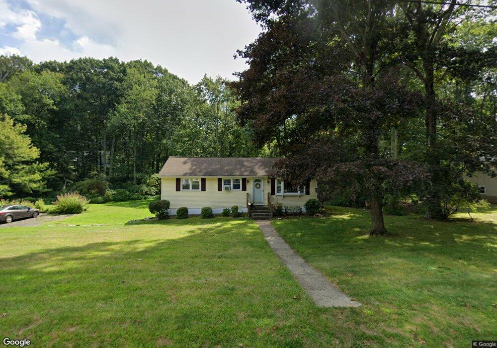
15 Laurel Ridge Rd Tolland, CT 06084
Estimated Value: $328,000 - $368,000
3
Beds
2
Baths
1,008
Sq Ft
$345/Sq Ft
Est. Value
About This Home
This home is located at 15 Laurel Ridge Rd, Tolland, CT 06084 and is currently estimated at $347,693, approximately $344 per square foot. 15 Laurel Ridge Rd is a home located in Tolland County with nearby schools including Birch Grove Primary School, Tolland Intermediate School, and Tolland Middle School.
Ownership History
Date
Name
Owned For
Owner Type
Purchase Details
Closed on
Jun 16, 1999
Sold by
Kelly Kimberly and Kelly Shawn
Bought by
Duckstein Jakim and Duckstein Diane
Current Estimated Value
Purchase Details
Closed on
Mar 1, 1993
Sold by
Meredith Michael and Meredith Cheryl
Bought by
Kelly Shawn and Kelly Kimberly
Create a Home Valuation Report for This Property
The Home Valuation Report is an in-depth analysis detailing your home's value as well as a comparison with similar homes in the area
Home Values in the Area
Average Home Value in this Area
Purchase History
| Date | Buyer | Sale Price | Title Company |
|---|---|---|---|
| Duckstein Jakim | $114,000 | -- | |
| Duckstein Jakim | $114,000 | -- | |
| Kelly Shawn | $110,000 | -- | |
| Kelly Shawn | $110,000 | -- |
Source: Public Records
Mortgage History
| Date | Status | Borrower | Loan Amount |
|---|---|---|---|
| Open | Kelly Shawn | $140,000 | |
| Closed | Kelly Shawn | $26,211 | |
| Closed | Kelly Shawn | $110,250 |
Source: Public Records
Tax History Compared to Growth
Tax History
| Year | Tax Paid | Tax Assessment Tax Assessment Total Assessment is a certain percentage of the fair market value that is determined by local assessors to be the total taxable value of land and additions on the property. | Land | Improvement |
|---|---|---|---|---|
| 2025 | $4,758 | $175,000 | $65,600 | $109,400 |
| 2024 | $4,604 | $121,900 | $62,500 | $59,400 |
| 2023 | $4,551 | $121,900 | $62,500 | $59,400 |
| 2022 | $4,459 | $121,900 | $62,500 | $59,400 |
| 2021 | $4,524 | $121,900 | $62,500 | $59,400 |
| 2020 | $4,394 | $121,900 | $62,500 | $59,400 |
| 2019 | $4,301 | $119,300 | $64,500 | $54,800 |
| 2018 | $4,176 | $119,300 | $64,500 | $54,800 |
| 2017 | $4,079 | $119,300 | $64,500 | $54,800 |
| 2016 | $4,079 | $119,300 | $64,500 | $54,800 |
| 2015 | $3,980 | $119,300 | $64,500 | $54,800 |
| 2014 | $4,068 | $131,000 | $71,600 | $59,400 |
Source: Public Records
Map
Nearby Homes
- 197 New Rd
- 208 New Rd
- 28 Columbine Rd
- 64 Columbine Rd
- 15 Elm Rd
- 50 Josephine Way
- 39 Josephine Way
- 109 Timber Trail
- 38 Josephine Way
- 93 Dockerel Rd
- 32 Josephine Way
- 26 Josephine Way
- 15 Carter Dr
- 41 Timber Trail
- 95 Old Kent Rd N
- 4 Elgin Dr
- 69 Tolland Farms Rd
- 247 Mountain Spring Rd
- 129 Mile Hill Rd
- 395 Grant Hill Rd Unit Lot21
- 9 Laurel Ridge Rd
- 23 Laurel Ridge Rd
- 16 Laurel Ridge Rd
- 16 White Birch Dr
- 10 Laurel Ridge Rd
- 10 White Birch Dr
- 19 Blueberry Hill Rd
- 3 Laurel Ridge Rd
- 4 Laurel Ridge Rd
- 17 White Birch Dr
- 24 White Birch Dr
- 4 White Birch Dr
- 25 White Birch Dr
- 11 Blueberry Hill Rd
- 25 Pine Hill Rd
- 20 Blueberry Hill Rd
- 11 White Birch Dr
- 30 White Birch Dr
- 51 Laurel Ridge Rd
- 35 Laurel Ridge Rd