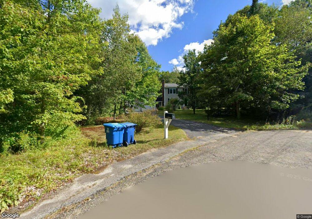
15 Laurel St Hubbardston, MA 01452
Estimated Value: $498,000 - $595,000
3
Beds
3
Baths
2,352
Sq Ft
$236/Sq Ft
Est. Value
About This Home
This home is located at 15 Laurel St, Hubbardston, MA 01452 and is currently estimated at $555,184, approximately $236 per square foot. 15 Laurel St is a home located in Worcester County with nearby schools including Quabbin Regional Middle School and Quabbin Regional High School.
Ownership History
Date
Name
Owned For
Owner Type
Purchase Details
Closed on
Mar 25, 2013
Sold by
Dorval Daniel J and Dorval Debra A
Bought by
Dorval Daniel J
Current Estimated Value
Purchase Details
Closed on
Dec 10, 1999
Sold by
Bowers Martin C and Bowers Julie
Bought by
Dorval Daniel J and Dorval Debra A
Home Financials for this Owner
Home Financials are based on the most recent Mortgage that was taken out on this home.
Original Mortgage
$124,700
Interest Rate
7.9%
Mortgage Type
Purchase Money Mortgage
Purchase Details
Closed on
Nov 17, 1997
Sold by
Blueberry Rt and Kosakowski Steven J
Bought by
Bowers Martin C and Bowers Julie
Home Financials for this Owner
Home Financials are based on the most recent Mortgage that was taken out on this home.
Original Mortgage
$130,419
Interest Rate
7.23%
Mortgage Type
Purchase Money Mortgage
Create a Home Valuation Report for This Property
The Home Valuation Report is an in-depth analysis detailing your home's value as well as a comparison with similar homes in the area
Home Values in the Area
Average Home Value in this Area
Purchase History
| Date | Buyer | Sale Price | Title Company |
|---|---|---|---|
| Dorval Daniel J | -- | -- | |
| Dorval Daniel J | $156,500 | -- | |
| Bowers Martin C | $134,300 | -- |
Source: Public Records
Mortgage History
| Date | Status | Borrower | Loan Amount |
|---|---|---|---|
| Previous Owner | Bowers Martin C | $141,300 | |
| Previous Owner | Bowers Martin C | $124,700 | |
| Previous Owner | Bowers Martin C | $130,419 |
Source: Public Records
Tax History Compared to Growth
Tax History
| Year | Tax Paid | Tax Assessment Tax Assessment Total Assessment is a certain percentage of the fair market value that is determined by local assessors to be the total taxable value of land and additions on the property. | Land | Improvement |
|---|---|---|---|---|
| 2025 | $5,675 | $485,900 | $67,300 | $418,600 |
| 2024 | $5,069 | $429,900 | $47,200 | $382,700 |
| 2023 | $4,244 | $325,700 | $41,600 | $284,100 |
| 2022 | $4,560 | $325,700 | $41,600 | $284,100 |
| 2021 | $4,567 | $308,400 | $41,600 | $266,800 |
| 2020 | $4,495 | $303,300 | $41,600 | $261,700 |
| 2019 | $4,394 | $288,700 | $56,000 | $232,700 |
| 2018 | $4,250 | $280,900 | $56,000 | $224,900 |
| 2017 | $4,278 | $280,900 | $56,000 | $224,900 |
| 2016 | $3,676 | $231,200 | $56,000 | $175,200 |
| 2015 | $3,688 | $247,200 | $56,000 | $191,200 |
| 2014 | $3,589 | $247,200 | $56,000 | $191,200 |
Source: Public Records
Map
Nearby Homes