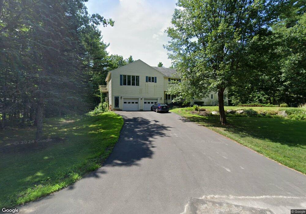
15 Ledgewood Dr Strafford, NH 03884
Estimated Value: $591,000 - $736,000
5
Beds
4
Baths
3,114
Sq Ft
$219/Sq Ft
Est. Value
About This Home
This home is located at 15 Ledgewood Dr, Strafford, NH 03884 and is currently estimated at $680,983, approximately $218 per square foot. 15 Ledgewood Dr is a home located in Strafford County with nearby schools including Strafford School and Coe-Brown Northwood Academy.
Ownership History
Date
Name
Owned For
Owner Type
Purchase Details
Closed on
Jun 4, 2018
Sold by
Gagnon Mark D and Gagnon Veronica T
Bought by
Rousseau James B and Morton-Rousseau Pauline T
Current Estimated Value
Home Financials for this Owner
Home Financials are based on the most recent Mortgage that was taken out on this home.
Original Mortgage
$240,000
Outstanding Balance
$207,090
Interest Rate
4.4%
Mortgage Type
Purchase Money Mortgage
Estimated Equity
$473,893
Create a Home Valuation Report for This Property
The Home Valuation Report is an in-depth analysis detailing your home's value as well as a comparison with similar homes in the area
Home Values in the Area
Average Home Value in this Area
Purchase History
| Date | Buyer | Sale Price | Title Company |
|---|---|---|---|
| Rousseau James B | $270,000 | -- |
Source: Public Records
Mortgage History
| Date | Status | Borrower | Loan Amount |
|---|---|---|---|
| Open | Rousseau James B | $240,000 |
Source: Public Records
Tax History Compared to Growth
Tax History
| Year | Tax Paid | Tax Assessment Tax Assessment Total Assessment is a certain percentage of the fair market value that is determined by local assessors to be the total taxable value of land and additions on the property. | Land | Improvement |
|---|---|---|---|---|
| 2024 | $8,481 | $429,200 | $79,300 | $349,900 |
| 2023 | $8,000 | $429,200 | $79,300 | $349,900 |
| 2022 | $7,352 | $429,200 | $79,300 | $349,900 |
| 2021 | $7,923 | $429,200 | $79,300 | $349,900 |
| 2020 | $8,339 | $325,100 | $82,100 | $243,000 |
| 2019 | $7,630 | $325,100 | $82,100 | $243,000 |
| 2018 | $8,006 | $359,600 | $82,100 | $277,500 |
| 2016 | $7,642 | $359,600 | $82,100 | $277,500 |
| 2015 | $7,289 | $334,200 | $79,000 | $255,200 |
| 2014 | $7,740 | $334,200 | $79,000 | $255,200 |
| 2013 | $7,580 | $334,200 | $79,000 | $255,200 |
| 2012 | $7,479 | $334,200 | $79,000 | $255,200 |
Source: Public Records
Map
Nearby Homes
- Map 3 Lot 18-2b and 18-2c Water St
- 11 Drake Hill Rd
- 133 & 137 Browns Pasture Rd
- 268 Province Rd
- M37 L40 Beaver Rd
- 28-1 Range Rd
- 295 1st New Hampshire Turnpike
- 31 Green St
- 150A 1st New Hampshire Turnpike
- Map 219 Lot 6-8 Ridge Rd
- 0 1st New Hampshire Turnpike Unit 5026030
- 0 1st New Hampshire Turnpike Unit 5013320
- 2184 Franklin Pierce Hwy
- 249 Cooper Hill Rd
- 142 Mountain Ave
- 83 Sloper Rd
- 5 Liberty Ln
- 0 Sloper Rd Unit 6
- 108 Lucas Pond Rd
- 64 Kelsey Mill Rd
- 28 Ledgewood Dr
- 255 Whig Hill Rd
- 6 Ledgewood Dr
- 12 Ledgewood Dr
- 20 Ledgewood Dr
- 26 Ledgewood Dr
- 24 Ledgewood Dr
- 241 Whig Hill Rd
- 162 Sunny Oaks Terrace
- 161 Sunny Oaks Terrace
- 26 Beaver Brook Dr
- 14 Beaver Brook Dr
- 277 Whig Hill Rd
- 9 Beechwood Dr
- 295 Whig Hill Rd
- 13 Beaver Brook Dr
- 225 Whig Hill Rd
- 21 Beechwood Dr
- 152 Sunny Oaks Terrace
- 30 Beaver Brook Dr