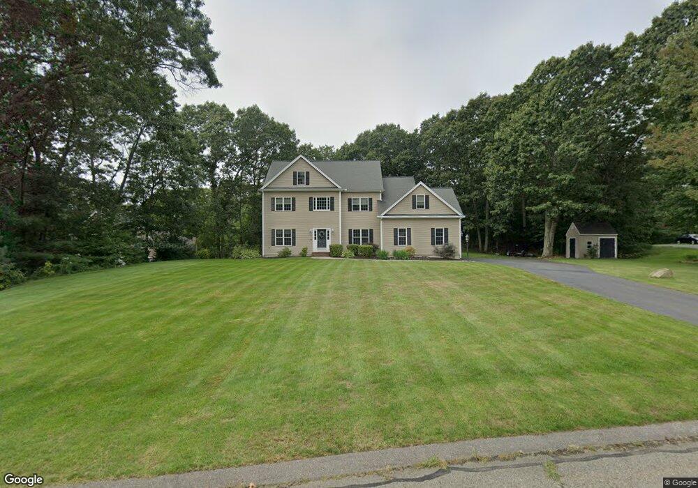
15 Lee St Uxbridge, MA 01569
Estimated Value: $735,000 - $778,000
4
Beds
3
Baths
2,902
Sq Ft
$260/Sq Ft
Est. Value
About This Home
This home is located at 15 Lee St, Uxbridge, MA 01569 and is currently estimated at $753,876, approximately $259 per square foot. 15 Lee St is a home located in Worcester County with nearby schools including Uxbridge High School and Our Lady of the Valley Regional School.
Ownership History
Date
Name
Owned For
Owner Type
Purchase Details
Closed on
Mar 14, 2011
Sold by
Cortellessa Michael and Cortellessa Crystal
Bought by
Davis Heights Rd Accep and Geshelin Jason R
Current Estimated Value
Purchase Details
Closed on
Mar 10, 2005
Sold by
Northern Dev Grp Llc
Bought by
Cortellessa Crystal and Cortellessa Michael
Home Financials for this Owner
Home Financials are based on the most recent Mortgage that was taken out on this home.
Original Mortgage
$402,400
Interest Rate
5.64%
Mortgage Type
Purchase Money Mortgage
Create a Home Valuation Report for This Property
The Home Valuation Report is an in-depth analysis detailing your home's value as well as a comparison with similar homes in the area
Home Values in the Area
Average Home Value in this Area
Purchase History
| Date | Buyer | Sale Price | Title Company |
|---|---|---|---|
| Davis Heights Rd Accep | -- | -- | |
| Cortellessa Crystal | $479,900 | -- |
Source: Public Records
Mortgage History
| Date | Status | Borrower | Loan Amount |
|---|---|---|---|
| Previous Owner | Cortellessa Crystal | $402,400 |
Source: Public Records
Tax History
| Year | Tax Paid | Tax Assessment Tax Assessment Total Assessment is a certain percentage of the fair market value that is determined by local assessors to be the total taxable value of land and additions on the property. | Land | Improvement |
|---|---|---|---|---|
| 2025 | $83 | $632,900 | $153,900 | $479,000 |
| 2024 | $7,871 | $609,200 | $146,100 | $463,100 |
| 2023 | $7,536 | $540,200 | $126,300 | $413,900 |
| 2022 | $6,843 | $451,400 | $110,600 | $340,800 |
| 2021 | $7,141 | $451,400 | $110,600 | $340,800 |
| 2020 | $7,503 | $448,200 | $118,400 | $329,800 |
| 2019 | $7,584 | $437,100 | $130,200 | $306,900 |
| 2018 | $7,350 | $428,100 | $130,200 | $297,900 |
| 2017 | $6,957 | $410,200 | $124,900 | $285,300 |
| 2016 | $6,815 | $387,900 | $95,700 | $292,200 |
| 2015 | $6,650 | $382,200 | $95,700 | $286,500 |
Source: Public Records
Map
Nearby Homes
- 127 Old Millville Rd
- 51 Albee Rd
- 57 Kempton Rd
- 70 Chocolog Rd
- 314 Richardson St
- 197 Crownshield Ave Unit 16B
- 197 Crownshield Ave Unit 16A
- 197 Crownshield Ave Unit 16C
- 90 Chestnut Hill Rd
- 12 Hickory Rd
- 53 Asylum St
- 179 Thayer St
- 15 Turner Farm Rd
- 12 Turner Farm Rd
- 18 Turner Farm Rd
- 18 Chestnut Hill Rd
- 37 Elizabeth St
- 45 Turner Farm Rd
- 46 Turner Farm Rd
- 47 Turner Farm Rd
- 13 Lee St
- 19 Lee St
- 5 Lee St
- 11 Glen St
- 9 Glen St
- 12 Lee St
- 16 Lee St
- 613 Millville Rd
- 20 Lee St
- 25 Glen St
- 634 Millville Rd
- 660 Blackstone St
- 596 Millville Rd
- 680 Blackstone St
- 589 Millville Rd
- 652 Blackstone St
- 644 Millville Rd
- 20 Glen St
- 0 Lot 7 Glen St Unit 71081624
- 0 Lot 7 Glen St Unit 71170919
Your Personal Tour Guide
Ask me questions while you tour the home.