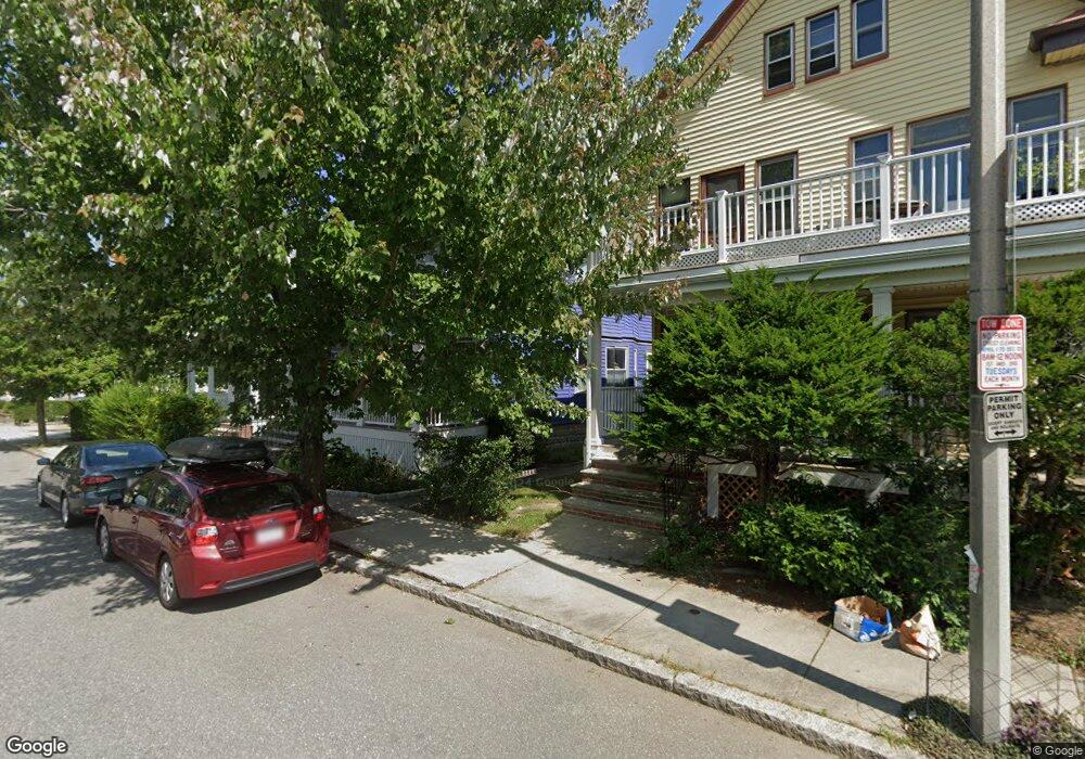
15 Leonard St Unit 1 Somerville, MA 02144
Davis Square NeighborhoodEstimated Value: $769,340 - $917,000
2
Beds
1
Bath
918
Sq Ft
$908/Sq Ft
Est. Value
About This Home
This home is located at 15 Leonard St Unit 1, Somerville, MA 02144 and is currently estimated at $833,835, approximately $908 per square foot. 15 Leonard St Unit 1 is a home located in Middlesex County with nearby schools including Somerville High School, St. Clement Elementary School, and International School of Boston.
Ownership History
Date
Name
Owned For
Owner Type
Purchase Details
Closed on
Jan 23, 2024
Sold by
Powe Joshua and Powe Rachel C
Bought by
Powe Ft and Powe
Current Estimated Value
Purchase Details
Closed on
Jun 18, 2010
Sold by
Stebbins Thomas B and Zeserson-Stebbins Johanna
Bought by
Galloway Judd E and Galloway Elizabeth M
Home Financials for this Owner
Home Financials are based on the most recent Mortgage that was taken out on this home.
Original Mortgage
$383,062
Interest Rate
5.03%
Mortgage Type
Purchase Money Mortgage
Create a Home Valuation Report for This Property
The Home Valuation Report is an in-depth analysis detailing your home's value as well as a comparison with similar homes in the area
Home Values in the Area
Average Home Value in this Area
Purchase History
| Date | Buyer | Sale Price | Title Company |
|---|---|---|---|
| Powe Ft | -- | None Available | |
| Galloway Judd E | $375,000 | -- |
Source: Public Records
Mortgage History
| Date | Status | Borrower | Loan Amount |
|---|---|---|---|
| Previous Owner | Galloway Judd E | $383,062 |
Source: Public Records
Tax History Compared to Growth
Tax History
| Year | Tax Paid | Tax Assessment Tax Assessment Total Assessment is a certain percentage of the fair market value that is determined by local assessors to be the total taxable value of land and additions on the property. | Land | Improvement |
|---|---|---|---|---|
| 2025 | $8,060 | $738,800 | $0 | $738,800 |
| 2024 | $7,524 | $715,200 | $0 | $715,200 |
| 2023 | $7,327 | $708,600 | $0 | $708,600 |
| 2022 | $6,773 | $665,300 | $0 | $665,300 |
| 2021 | $6,498 | $637,700 | $0 | $637,700 |
| 2020 | $6,315 | $625,900 | $0 | $625,900 |
| 2019 | $8,153 | $573,400 | $0 | $573,400 |
| 2018 | $5,993 | $529,900 | $0 | $529,900 |
| 2017 | $5,847 | $501,000 | $0 | $501,000 |
| 2016 | $5,920 | $472,500 | $0 | $472,500 |
| 2015 | $5,363 | $425,300 | $0 | $425,300 |
Source: Public Records
Map
Nearby Homes
- 20 Electric Ave Unit 2
- 22 Ossipee Rd Unit 2
- 23 Ossipee Rd
- 29 Packard Ave
- 55 Packard Ave Unit 1
- 26 Warner St
- 15 Colby St
- 50 Howard St Unit 5
- 11 Watson St Unit 1
- 11 Watson St Unit 2
- 33 Conwell Ave
- 202 Powder House Blvd Unit 2
- 67-69 Cameron Ave
- 69 Clarendon Ave Unit A
- 81 Princeton St
- 39 Seven Pines Ave
- 122 Burget Ave
- 371 Highland Ave
- 32 Cameron Ave
- 34 Day St
- 15 Leonard St Unit 2
- 11 Leonard St
- 11 Leonard St Unit 1
- 19 Leonard St
- 19 Leonard St Unit 1
- 54 Walker St Unit 2
- 54 Walker St
- 54 Walker St Unit 1
- 50 Walker St
- 941 Broadway
- 943 Broadway
- 943 Broadway Unit 1
- 12 Leonard St Unit 1
- 10 Leonard St
- 935 Broadway
- 935 Broadway Unit 1A
- 935 Broadway Unit 1
- 935 Broadway Unit 2
- 25 Leonard St Unit B
- 25 Leonard St Unit A