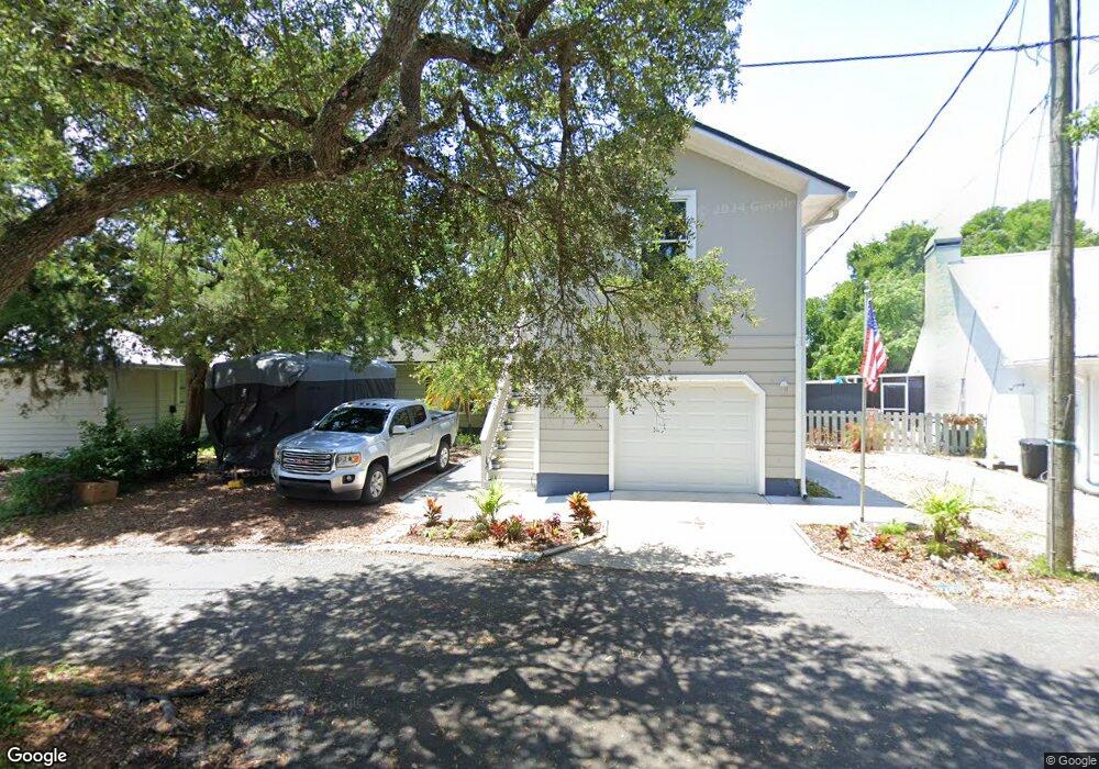
15 Lockhart Ln Saint Augustine, FL 32080
Estimated Value: $448,000 - $539,000
2
Beds
2
Baths
1,300
Sq Ft
$374/Sq Ft
Est. Value
About This Home
This home is located at 15 Lockhart Ln, Saint Augustine, FL 32080 and is currently estimated at $485,642, approximately $373 per square foot. 15 Lockhart Ln is a home located in St. Johns County with nearby schools including R.B. Hunt Elementary School, Sebastian Middle School, and St. Augustine High School.
Ownership History
Date
Name
Owned For
Owner Type
Purchase Details
Closed on
Feb 12, 2021
Sold by
Badley Doreen Marie
Bought by
Doreen Marie Badley Revocable Trust
Current Estimated Value
Purchase Details
Closed on
Jul 22, 2002
Sold by
Castleberry Margaret A
Bought by
Minteer Doreen M
Home Financials for this Owner
Home Financials are based on the most recent Mortgage that was taken out on this home.
Original Mortgage
$147,700
Outstanding Balance
$62,435
Interest Rate
6.67%
Estimated Equity
$423,207
Create a Home Valuation Report for This Property
The Home Valuation Report is an in-depth analysis detailing your home's value as well as a comparison with similar homes in the area
Home Values in the Area
Average Home Value in this Area
Purchase History
| Date | Buyer | Sale Price | Title Company |
|---|---|---|---|
| Doreen Marie Badley Revocable Trust | -- | None Available | |
| Minteer Doreen M | $155,500 | -- |
Source: Public Records
Mortgage History
| Date | Status | Borrower | Loan Amount |
|---|---|---|---|
| Open | Minteer Doreen M | $147,700 |
Source: Public Records
Tax History
| Year | Tax Paid | Tax Assessment Tax Assessment Total Assessment is a certain percentage of the fair market value that is determined by local assessors to be the total taxable value of land and additions on the property. | Land | Improvement |
|---|---|---|---|---|
| 2025 | $3,883 | $285,565 | -- | -- |
| 2024 | $3,883 | $277,517 | -- | -- |
| 2023 | $3,883 | $269,434 | $0 | $0 |
| 2022 | $3,817 | $261,586 | $0 | $0 |
| 2021 | $3,035 | $209,233 | $0 | $0 |
| 2020 | $2,879 | $206,344 | $0 | $0 |
| 2019 | $3,455 | $199,833 | $0 | $0 |
| 2018 | $3,298 | $188,710 | $0 | $0 |
| 2017 | $3,092 | $174,846 | $80,000 | $94,846 |
| 2016 | $2,862 | $155,001 | $0 | $0 |
| 2015 | $2,879 | $157,490 | $0 | $0 |
| 2014 | $2,558 | $138,244 | $0 | $0 |
Source: Public Records
Map
Nearby Homes
- 149 Kings Quarry Ln
- 5 Willow Dr
- 165 Cedar Ridge Cir
- 616 W 16th St
- 679 Coral Cir
- 0 Oak Hill Dr
- 40 Willow Dr
- 633 Nautical Way
- 0 Spanish Oaks Ln
- 520 Peninsula Ct
- 694 16th St
- 508 Peninsula Ct
- 47 Willow Dr
- 644 Coral Cir
- 497 Pyrus St
- 2325 Commodores Club Blvd
- 2457 A1a S
- 650 W Pope Rd
- 650 W Pope Rd Unit 226
- 650 W Pope Rd Unit 244