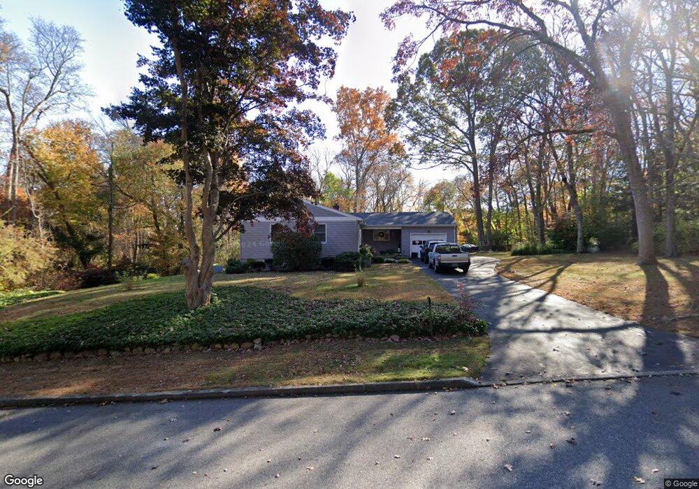
15 Longview Ave Waterford, CT 06385
Estimated Value: $461,000 - $520,000
3
Beds
2
Baths
1,778
Sq Ft
$271/Sq Ft
Est. Value
About This Home
This home is located at 15 Longview Ave, Waterford, CT 06385 and is currently estimated at $481,020, approximately $270 per square foot. 15 Longview Ave is a home located in New London County with nearby schools including Clark Lane Middle School, Waterford High School, and New London High School Multi-Magnet Campus.
Ownership History
Date
Name
Owned For
Owner Type
Purchase Details
Closed on
Nov 23, 2009
Sold by
Saenger R Alfred
Bought by
Schaedler Wayne and Schaedler Judith
Current Estimated Value
Home Financials for this Owner
Home Financials are based on the most recent Mortgage that was taken out on this home.
Original Mortgage
$130,000
Interest Rate
4.86%
Mortgage Type
Purchase Money Mortgage
Create a Home Valuation Report for This Property
The Home Valuation Report is an in-depth analysis detailing your home's value as well as a comparison with similar homes in the area
Home Values in the Area
Average Home Value in this Area
Purchase History
| Date | Buyer | Sale Price | Title Company |
|---|---|---|---|
| Schaedler Wayne | $265,000 | -- |
Source: Public Records
Mortgage History
| Date | Status | Borrower | Loan Amount |
|---|---|---|---|
| Closed | Schaedler Wayne | $90,000 | |
| Closed | Schaedler Wayne | $130,000 |
Source: Public Records
Tax History Compared to Growth
Tax History
| Year | Tax Paid | Tax Assessment Tax Assessment Total Assessment is a certain percentage of the fair market value that is determined by local assessors to be the total taxable value of land and additions on the property. | Land | Improvement |
|---|---|---|---|---|
| 2025 | $5,661 | $242,340 | $96,630 | $145,710 |
| 2024 | $5,404 | $242,340 | $96,630 | $145,710 |
| 2023 | $5,138 | $242,340 | $96,630 | $145,710 |
| 2022 | $4,885 | $177,250 | $65,850 | $111,400 |
| 2021 | $4,899 | $177,250 | $65,850 | $111,400 |
| 2020 | $4,940 | $177,250 | $65,850 | $111,400 |
| 2019 | $4,959 | $177,250 | $65,850 | $111,400 |
| 2018 | $4,860 | $177,250 | $65,850 | $111,400 |
| 2017 | $4,750 | $175,730 | $67,990 | $107,740 |
| 2016 | $4,706 | $175,730 | $67,990 | $107,740 |
| 2015 | $4,539 | $175,730 | $67,990 | $107,740 |
| 2014 | $4,539 | $175,730 | $67,990 | $107,740 |
Source: Public Records
Map
Nearby Homes
- 27 Mullen Hill Rd
- 270 Boston Post Rd Unit 22
- 310 Boston Post Rd Unit 86
- 164 Stoneheights Dr Unit 164
- 267 Boston Post Rd
- 84 Stoneheights Dr
- 37 Spithead Rd
- 24 Stoneheights Dr
- 127 Spithead Rd
- 213 Boston Post Rd
- 54 Rope Ferry Rd Unit H133
- 9 Rock Ridge Rd
- 7 Robin St
- 398 & 402 Boston Post Rd
- 398 Boston Post Rd
- 26 Fulmore Dr
- 9 Arrowhead Trail
- 23 Whaling Dr
- 18 Whaling Dr
- 6 Fulmore Dr