15 Longwood Rd Mashpee, MA 02649
Estimated Value: $557,379 - $587,000
2
Beds
3
Baths
1,685
Sq Ft
$340/Sq Ft
Est. Value
About This Home
This home is located at 15 Longwood Rd, Mashpee, MA 02649 and is currently estimated at $573,595, approximately $340 per square foot. 15 Longwood Rd is a home located in Barnstable County with nearby schools including Kenneth C. Coombs School, Quashnet School, and Mashpee Middle School.
Ownership History
Date
Name
Owned For
Owner Type
Purchase Details
Closed on
May 18, 2017
Sold by
Claire E Oconnor Ft
Bought by
Dell Marjorie J
Current Estimated Value
Purchase Details
Closed on
Mar 17, 2009
Sold by
Oconnor Joseph F and Oconnor Claire E
Bought by
Claire E Oconnor Ft
Purchase Details
Closed on
Jul 23, 2001
Sold by
Emmes Southport Llc
Bought by
Oconnor Joseph F
Create a Home Valuation Report for This Property
The Home Valuation Report is an in-depth analysis detailing your home's value as well as a comparison with similar homes in the area
Home Values in the Area
Average Home Value in this Area
Purchase History
| Date | Buyer | Sale Price | Title Company |
|---|---|---|---|
| Dell Marjorie J | $325,000 | -- | |
| Claire E Oconnor Ft | -- | -- | |
| Oconnor Joseph F | $257,900 | -- |
Source: Public Records
Mortgage History
| Date | Status | Borrower | Loan Amount |
|---|---|---|---|
| Previous Owner | Claire E Oconnor Ft | $200,000 |
Source: Public Records
Tax History Compared to Growth
Tax History
| Year | Tax Paid | Tax Assessment Tax Assessment Total Assessment is a certain percentage of the fair market value that is determined by local assessors to be the total taxable value of land and additions on the property. | Land | Improvement |
|---|---|---|---|---|
| 2025 | $3,349 | $505,900 | $0 | $505,900 |
| 2024 | $3,199 | $497,500 | $0 | $497,500 |
| 2023 | $3,094 | $441,400 | $0 | $441,400 |
| 2022 | $3,087 | $377,800 | $0 | $377,800 |
| 2021 | $3,235 | $356,700 | $0 | $356,700 |
| 2020 | $3,100 | $341,000 | $0 | $341,000 |
| 2019 | $3,291 | $363,700 | $0 | $363,700 |
| 2018 | $3,154 | $353,600 | $0 | $353,600 |
| 2017 | $3,158 | $343,600 | $0 | $343,600 |
| 2016 | $3,088 | $334,200 | $0 | $334,200 |
| 2015 | $2,701 | $296,500 | $0 | $296,500 |
| 2014 | $2,578 | $274,600 | $0 | $274,600 |
Source: Public Records
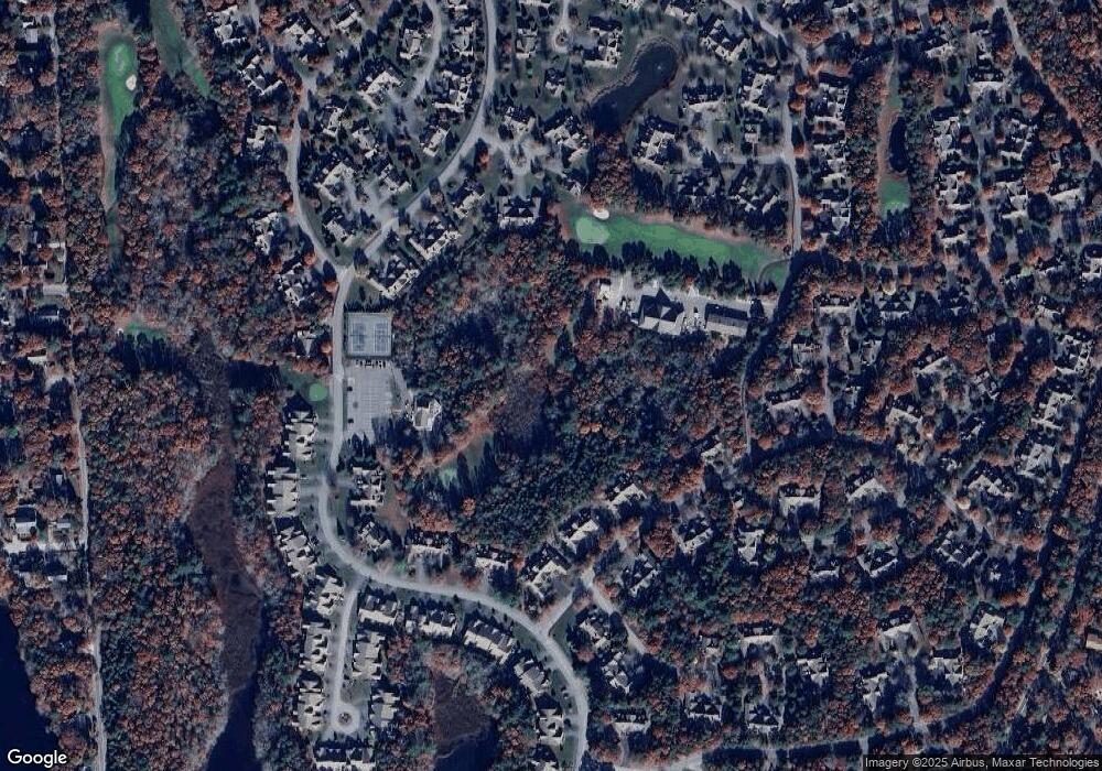
Map
Nearby Homes
- 15 Beacon Ct Unit 229
- 15 Beacon Ct
- 18 Executive Dr
- 18 Executive Dr Unit 18
- 6 Friendship Ct Unit 90
- 6 Friendship Ct
- 1 Upland Cir
- 1 Upland Cir Unit 1
- 5 Friendship Ct Unit 89
- 5 Friendship Ct
- 80 Pine Hill Blvd Unit 80
- 14 Sandview Terrace
- 14 Sandview Terrace Unit 14
- 2 Pga Ln Unit 2
- 2 Pga Ln
- 5 Kettle Ln Unit 38
- 8 Chippers Ln
- 8 Chippers Ln Unit 390
- 181 Leisure Green Dr
- 6 Masters Ct
- 17 Longwood Rd
- 11 Longwood Rd
- 9 Longwood Rd Unit 9
- 15 Longwood Rd Unit 241
- 17 Longwood Rd Unit 242
- 25 Longwood Rd
- 23 Longwood Rd
- 21 Longwood Rd
- 25 Longwood Rd Unit 246
- 5 Longwood Rd
- 1 Longwood Rd
- 7 Longwood Rd
- 7 Longwood Rd Unit 238
- 1 Beacon Ct
- 1 Beacon Ct Unit 216
- 24 Longwood Rd
- 24 Longwood Rd Unit 212
- 18 Beacon Ct
- 17 Beacon Ct
- 16 Beacon Ct