15 Longworth Ave Unit 211 Brockton, MA 02301
Campello NeighborhoodEstimated Value: $234,000 - $347,000
2
Beds
1
Bath
838
Sq Ft
$323/Sq Ft
Est. Value
About This Home
This home is located at 15 Longworth Ave Unit 211, Brockton, MA 02301 and is currently estimated at $270,382, approximately $322 per square foot. 15 Longworth Ave Unit 211 is a home located in Plymouth County with nearby schools including Davis K-8 School, John F. Kennedy Elementary School, and South Middle School.
Ownership History
Date
Name
Owned For
Owner Type
Purchase Details
Closed on
Aug 20, 1999
Sold by
15-211 Rt and Foley Stephen T
Bought by
Goldstine Steven L
Current Estimated Value
Home Financials for this Owner
Home Financials are based on the most recent Mortgage that was taken out on this home.
Original Mortgage
$54,990
Outstanding Balance
$15,741
Interest Rate
7.6%
Mortgage Type
Purchase Money Mortgage
Estimated Equity
$254,641
Purchase Details
Closed on
Nov 4, 1996
Sold by
Heritage Park Rt and Tanner Richard S
Bought by
15-211 Rt and Foley Stephen T
Home Financials for this Owner
Home Financials are based on the most recent Mortgage that was taken out on this home.
Original Mortgage
$62,900
Interest Rate
8.07%
Mortgage Type
Purchase Money Mortgage
Create a Home Valuation Report for This Property
The Home Valuation Report is an in-depth analysis detailing your home's value as well as a comparison with similar homes in the area
Home Values in the Area
Average Home Value in this Area
Purchase History
| Date | Buyer | Sale Price | Title Company |
|---|---|---|---|
| Goldstine Steven L | $264,990 | -- | |
| 15-211 Rt | $62,900 | -- |
Source: Public Records
Mortgage History
| Date | Status | Borrower | Loan Amount |
|---|---|---|---|
| Open | 15-211 Rt | $54,990 | |
| Previous Owner | 15-211 Rt | $62,900 |
Source: Public Records
Tax History Compared to Growth
Tax History
| Year | Tax Paid | Tax Assessment Tax Assessment Total Assessment is a certain percentage of the fair market value that is determined by local assessors to be the total taxable value of land and additions on the property. | Land | Improvement |
|---|---|---|---|---|
| 2025 | $2,558 | $211,200 | $0 | $211,200 |
| 2024 | $2,432 | $202,300 | $0 | $202,300 |
| 2023 | $2,236 | $172,300 | $0 | $172,300 |
| 2022 | $2,059 | $147,400 | $0 | $147,400 |
| 2021 | $2,042 | $140,800 | $0 | $140,800 |
| 2020 | $1,818 | $120,000 | $0 | $120,000 |
| 2019 | $1,632 | $105,000 | $0 | $105,000 |
| 2018 | $1,478 | $92,000 | $0 | $92,000 |
| 2017 | $1,426 | $88,600 | $0 | $88,600 |
| 2016 | $1,256 | $72,370 | $0 | $72,370 |
| 2015 | $1,065 | $58,700 | $0 | $58,700 |
| 2014 | $989 | $54,560 | $0 | $54,560 |
Source: Public Records
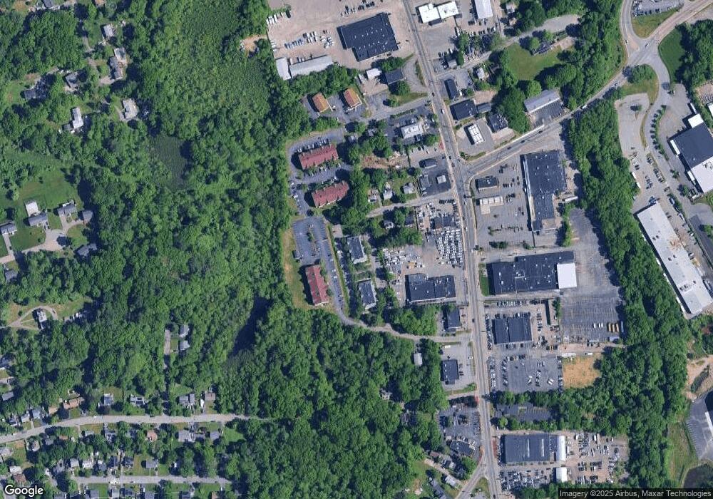
Map
Nearby Homes
- 15 Longworth Ave Unit 231
- 35 Longworth Ave Unit 17
- 358 Copeland St
- 13 Finny's Way
- 15 Fieldstone Dr
- 47 Southworth St
- 1 Fairway Dr
- 163 S Leyden St
- 57 Copeland St
- 115 Market St
- 115 Leach Ave
- 223 Clinton St Unit 10
- 223 Clinton St Unit 3
- 16 Friendship Dr
- 65 Tremont St
- 122 Sinclair Rd
- 21 Roosevelt Ave
- 44 Baker St
- 58 Calmar St
- 139 Geralynn Dr
- 15 Longworth Ave Unit 236
- 15 Longworth Ave Unit 235
- 15 Longworth Ave Unit 234
- 15 Longworth Ave Unit 233
- 15 Longworth Ave Unit 232
- 15 Longworth Ave Unit 226
- 15 Longworth Ave Unit 225
- 15 Longworth Ave Unit 224
- 15 Longworth Ave Unit 223
- 15 Longworth Ave Unit 222
- 15 Longworth Ave Unit 221
- 15 Longworth Ave Unit 216
- 15 Longworth Ave Unit 215
- 15 Longworth Ave Unit 214
- 15 Longworth Ave Unit 213
- 15 Longworth Ave Unit 212
- 15 Longworth Ave
- 15 Longworth Ave Unit 213,15
- 15 Longworth Ave Unit 233 2
- 9 Longworth Ave Unit 136