Estimated Value: $633,116 - $700,000
4
Beds
3
Baths
2,101
Sq Ft
$318/Sq Ft
Est. Value
About This Home
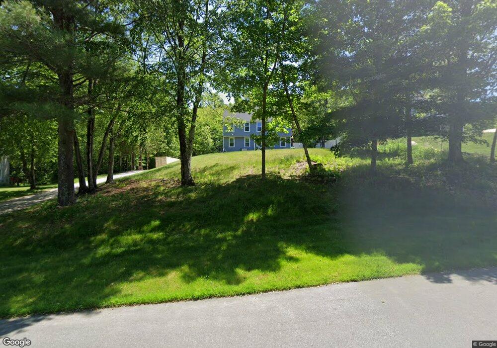
This home is located at 15 Lorri Rd, Derry, NH 03038 and is currently estimated at $668,779, approximately $318 per square foot. 15 Lorri Rd is a home located in Rockingham County with nearby schools including East Derry Memorial Elementary School, West Running Brook Middle School, and Pinkerton Academy.
Ownership History
Date
Name
Owned For
Owner Type
Purchase Details
Closed on
Sep 8, 2003
Sold by
Stonge Richard D and Stonge Melissa A
Bought by
Hutchinson Daniel L and Hutchinson Kerryn J
Current Estimated Value
Home Financials for this Owner
Home Financials are based on the most recent Mortgage that was taken out on this home.
Original Mortgage
$208,500
Interest Rate
6.02%
Purchase Details
Closed on
Mar 29, 1996
Sold by
Gardner Nora E and Gardner Ernest G
Bought by
St Onge Richard D and St Onge Melissa A
Create a Home Valuation Report for This Property
The Home Valuation Report is an in-depth analysis detailing your home's value as well as a comparison with similar homes in the area
Home Values in the Area
Average Home Value in this Area
Purchase History
We collect this data history from publicly available records. To have your information removed, we recommend requesting removal directly through your county’s website.
| Date | Buyer | Sale Price | Title Company |
|---|---|---|---|
| Hutchinson Daniel L | $278,000 | -- | |
| St Onge Richard D | $138,600 | -- |
Source: Public Records
Mortgage History
We collect this data history from publicly available records. To have your information removed, we recommend requesting removal directly through your county’s website.
| Date | Status | Borrower | Loan Amount |
|---|---|---|---|
| Open | St Onge Richard D | $216,600 | |
| Closed | St Onge Richard D | $220,000 | |
| Closed | St Onge Richard D | $40,000 | |
| Closed | St Onge Richard D | $208,500 |
Source: Public Records
Tax History
| Year | Tax Paid | Tax Assessment Tax Assessment Total Assessment is a certain percentage of the fair market value that is determined by local assessors to be the total taxable value of land and additions on the property. | Land | Improvement |
|---|---|---|---|---|
| 2025 | $10,124 | $533,100 | $200,900 | $332,200 |
| 2024 | $9,964 | $533,100 | $200,900 | $332,200 |
| 2023 | $9,467 | $457,800 | $170,800 | $287,000 |
| 2022 | $8,717 | $457,800 | $170,800 | $287,000 |
| 2021 | $8,302 | $335,300 | $130,700 | $204,600 |
| 2020 | $8,161 | $335,300 | $130,700 | $204,600 |
| 2019 | $8,170 | $312,800 | $101,100 | $211,700 |
| 2018 | $8,142 | $312,800 | $101,100 | $211,700 |
| 2017 | $8,364 | $289,800 | $96,100 | $193,700 |
| 2016 | $7,842 | $289,800 | $96,100 | $193,700 |
| 2015 | $7,813 | $267,300 | $96,100 | $171,200 |
| 2014 | $7,864 | $267,300 | $96,100 | $171,200 |
| 2013 | $7,803 | $247,800 | $88,100 | $159,700 |
Source: Public Records
Map
Nearby Homes
- 128 N Shore Rd
- 172 Warner Hill Rd
- 343 Island Pond Rd
- 18 Steele Rd
- 14 N Salem Rd Unit A
- 134 Chases Grove Rd
- 11 Bartlett Rd
- 2 Remington Ct
- 105 Chases Grove Rd
- 1 Brandy Rock Rd
- 105 Conleys Grove Rd
- 118-1 Mills Shore Dr
- 118 Mills Shore Dr
- 7 Hampshire Dr
- 19 Whitney Grove Rd
- 55 Page Ln
- 21 Hemlock Heights Rd
- 9 Valcat Ln
- 10D Chase Island Rd
- 5 Quarry Rd
Your Personal Tour Guide
Ask me questions while you tour the home.