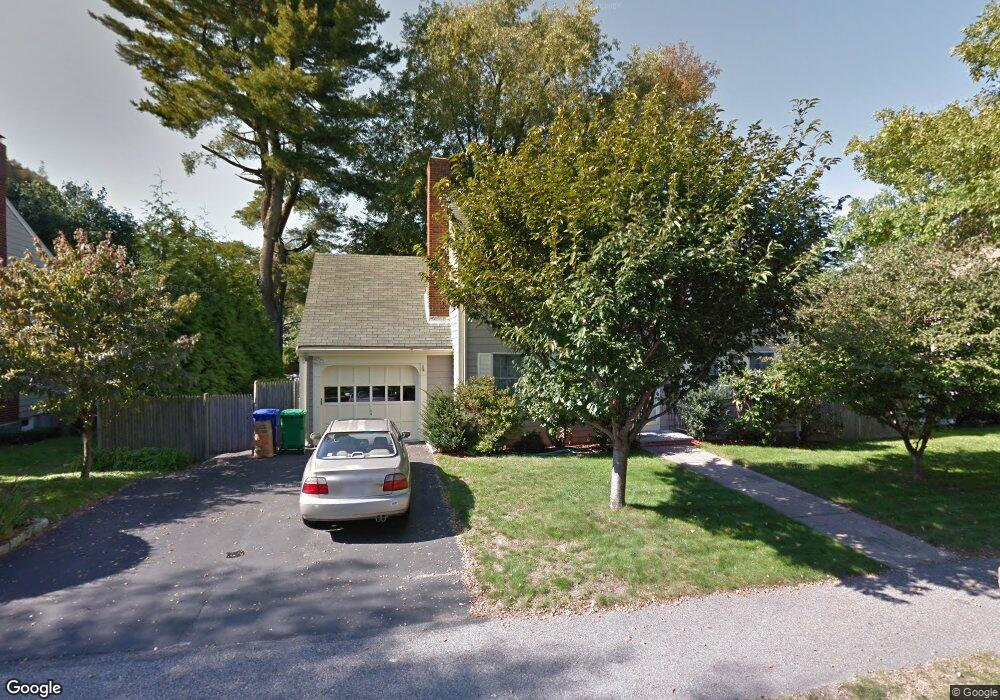
15 Lyme Rd West Newton, MA 02465
West Newton NeighborhoodEstimated Value: $1,264,787 - $1,368,000
3
Beds
2
Baths
1,894
Sq Ft
$693/Sq Ft
Est. Value
About This Home
This home is located at 15 Lyme Rd, West Newton, MA 02465 and is currently estimated at $1,312,947, approximately $693 per square foot. 15 Lyme Rd is a home located in Middlesex County with nearby schools including Franklin Elementary School, F.A. Day Middle School, and Newton North High School.
Ownership History
Date
Name
Owned For
Owner Type
Purchase Details
Closed on
Oct 21, 1988
Sold by
Lyme Oak Trust
Bought by
Park David K
Current Estimated Value
Home Financials for this Owner
Home Financials are based on the most recent Mortgage that was taken out on this home.
Original Mortgage
$187,500
Interest Rate
10.48%
Mortgage Type
Purchase Money Mortgage
Create a Home Valuation Report for This Property
The Home Valuation Report is an in-depth analysis detailing your home's value as well as a comparison with similar homes in the area
Home Values in the Area
Average Home Value in this Area
Purchase History
| Date | Buyer | Sale Price | Title Company |
|---|---|---|---|
| Park David K | $250,000 | -- |
Source: Public Records
Mortgage History
| Date | Status | Borrower | Loan Amount |
|---|---|---|---|
| Open | Park David K | $50,000 | |
| Closed | Park David K | $184,000 | |
| Closed | Park David K | $186,450 | |
| Closed | Park David K | $187,500 |
Source: Public Records
Tax History Compared to Growth
Tax History
| Year | Tax Paid | Tax Assessment Tax Assessment Total Assessment is a certain percentage of the fair market value that is determined by local assessors to be the total taxable value of land and additions on the property. | Land | Improvement |
|---|---|---|---|---|
| 2025 | $10,119 | $1,032,500 | $830,600 | $201,900 |
| 2024 | $9,783 | $1,002,400 | $806,400 | $196,000 |
| 2023 | $9,292 | $912,800 | $612,600 | $300,200 |
| 2022 | $8,892 | $845,200 | $567,200 | $278,000 |
| 2021 | $8,580 | $797,400 | $535,100 | $262,300 |
| 2020 | $8,325 | $797,400 | $535,100 | $262,300 |
| 2019 | $8,090 | $774,200 | $519,500 | $254,700 |
| 2018 | $7,718 | $713,300 | $470,100 | $243,200 |
| 2017 | $7,483 | $672,900 | $443,500 | $229,400 |
| 2016 | $7,157 | $628,900 | $414,500 | $214,400 |
| 2015 | $6,824 | $587,800 | $387,400 | $200,400 |
Source: Public Records
Map
Nearby Homes
- 251 Waltham St
- 76 Harding St
- 3 Annapolis Rd
- 97 North St
- 14 Dana Rd
- 11 Dana Rd
- 33 Joseph Rd
- 45 Cherry Place
- 299 Albemarle Rd
- 41 Kilburn Rd
- 15 Berkshire Rd Unit 1
- 40 Fairway Dr
- 287 Cherry St Unit 2
- 27 Fairway Dr
- 32 Henshaw St
- 1 Farwell Cir
- 9 John St
- 21-23 Noble St
- 126-128 Washington Ave
- 162 Myrtle St Unit 1
- 11 Lyme Rd
- 23 Lyme Rd
- 40 Hatfield Rd Unit 42
- 42 Hatfield Rd Unit T
- 42 Hatfield Rd
- 42 Hatfield Rd Unit 2
- 42 Hatfield Rd
- 40 Hatfield Rd Unit 40
- 40 Hatfield Rd Unit 1
- 42 Hatfield Rd Unit 1
- 40 Hatfield Rd Unit 2
- 20 Lyme Rd
- 46 Hatfield Rd Unit 48
- 46 Hatfield Rd Unit 1
- 207 Waltham St
- 29 Lyme Rd
- 195 Waltham St
- 28 Fuller Terrace
- 28 Fuller Terrace Unit 2
- 28 Lyme Rd