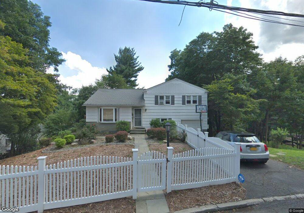
15 Manor Place Dobbs Ferry, NY 10522
Estimated Value: $872,000 - $1,086,000
3
Beds
2
Baths
1,120
Sq Ft
$847/Sq Ft
Est. Value
About This Home
This home is located at 15 Manor Place, Dobbs Ferry, NY 10522 and is currently estimated at $948,648, approximately $847 per square foot. 15 Manor Place is a home located in Westchester County with nearby schools including Springhurst Elementary School, Dobbs Ferry High School, and The Masters School.
Ownership History
Date
Name
Owned For
Owner Type
Purchase Details
Closed on
Apr 26, 2005
Sold by
Young Barry A and Young Lois A
Bought by
Messeri Oren and Levin Keri
Current Estimated Value
Create a Home Valuation Report for This Property
The Home Valuation Report is an in-depth analysis detailing your home's value as well as a comparison with similar homes in the area
Home Values in the Area
Average Home Value in this Area
Purchase History
| Date | Buyer | Sale Price | Title Company |
|---|---|---|---|
| Messeri Oren | $620,000 | -- |
Source: Public Records
Tax History
| Year | Tax Paid | Tax Assessment Tax Assessment Total Assessment is a certain percentage of the fair market value that is determined by local assessors to be the total taxable value of land and additions on the property. | Land | Improvement |
|---|---|---|---|---|
| 2024 | $22,611 | $717,100 | $342,700 | $374,400 |
| 2023 | $22,248 | $737,200 | $326,400 | $410,800 |
| 2022 | $21,455 | $704,500 | $326,400 | $378,100 |
| 2021 | $19,993 | $652,400 | $326,400 | $326,000 |
| 2020 | $15,575 | $587,900 | $326,400 | $261,500 |
| 2019 | $18,949 | $587,900 | $326,400 | $261,500 |
| 2018 | $20,291 | $572,000 | $326,400 | $245,600 |
| 2017 | $9,934 | $550,800 | $326,400 | $224,400 |
| 2016 | $434,658 | $529,600 | $326,400 | $203,200 |
| 2015 | -- | $15,850 | $2,600 | $13,250 |
| 2014 | -- | $15,850 | $2,600 | $13,250 |
| 2013 | $10,981 | $15,850 | $2,600 | $13,250 |
Source: Public Records
Map
Nearby Homes
- 0 Lyman Place Unit KEY923539
- 0 Ashford Ave Unit KEY885130
- 70 Washington Ave
- 16 Ogden Ave
- 23 Bradley St
- 0 Sherman Ave Unit KEY966535
- 164 Washington Ave
- 5 Forkland Ln
- 41 Devoe St
- 101 Beacon Hill Dr Unit 13
- 22 Lewis Ave
- 113 Beacon Hill Dr Unit E25
- 2 Belmont Dr
- 17 Manor House Dr Unit K 14
- 17 Manor House Dr Unit K13
- 14 Manor House Dr Unit G29
- 36 Belden Ave
- 5 Belmont Dr
- 40 Northfield Ave
- 10 Sherman Ave
Your Personal Tour Guide
Ask me questions while you tour the home.