15 Maple Ave Sudbury, MA 01776
Estimated Value: $825,000 - $1,094,000
3
Beds
2
Baths
1,859
Sq Ft
$492/Sq Ft
Est. Value
About This Home
This home is located at 15 Maple Ave, Sudbury, MA 01776 and is currently estimated at $915,285, approximately $492 per square foot. 15 Maple Ave is a home located in Middlesex County with nearby schools including Israel Loring Elementary School, Ephraim Curtis Middle School, and Lincoln-Sudbury Regional High School.
Ownership History
Date
Name
Owned For
Owner Type
Purchase Details
Closed on
Sep 5, 1985
Bought by
Hull Carol L
Current Estimated Value
Create a Home Valuation Report for This Property
The Home Valuation Report is an in-depth analysis detailing your home's value as well as a comparison with similar homes in the area
Home Values in the Area
Average Home Value in this Area
Purchase History
| Date | Buyer | Sale Price | Title Company |
|---|---|---|---|
| Hull Carol L | $100,000 | -- |
Source: Public Records
Mortgage History
| Date | Status | Borrower | Loan Amount |
|---|---|---|---|
| Open | Hull Carol L | $100,000 | |
| Closed | Hull Carol L | $72,000 |
Source: Public Records
Tax History Compared to Growth
Tax History
| Year | Tax Paid | Tax Assessment Tax Assessment Total Assessment is a certain percentage of the fair market value that is determined by local assessors to be the total taxable value of land and additions on the property. | Land | Improvement |
|---|---|---|---|---|
| 2025 | $11,012 | $752,200 | $402,100 | $350,100 |
| 2024 | $10,623 | $727,100 | $390,300 | $336,800 |
| 2023 | $10,497 | $665,600 | $361,300 | $304,300 |
| 2022 | $9,908 | $548,900 | $331,300 | $217,600 |
| 2021 | $9,616 | $510,700 | $331,300 | $179,400 |
| 2020 | $9,422 | $510,700 | $331,300 | $179,400 |
| 2019 | $9,292 | $518,800 | $331,300 | $187,500 |
| 2018 | $9,517 | $530,800 | $348,800 | $182,000 |
| 2017 | $9,342 | $526,600 | $344,600 | $182,000 |
| 2016 | $9,039 | $507,800 | $331,300 | $176,500 |
| 2015 | $8,367 | $475,400 | $302,500 | $172,900 |
| 2014 | $8,342 | $462,700 | $293,500 | $169,200 |
Source: Public Records
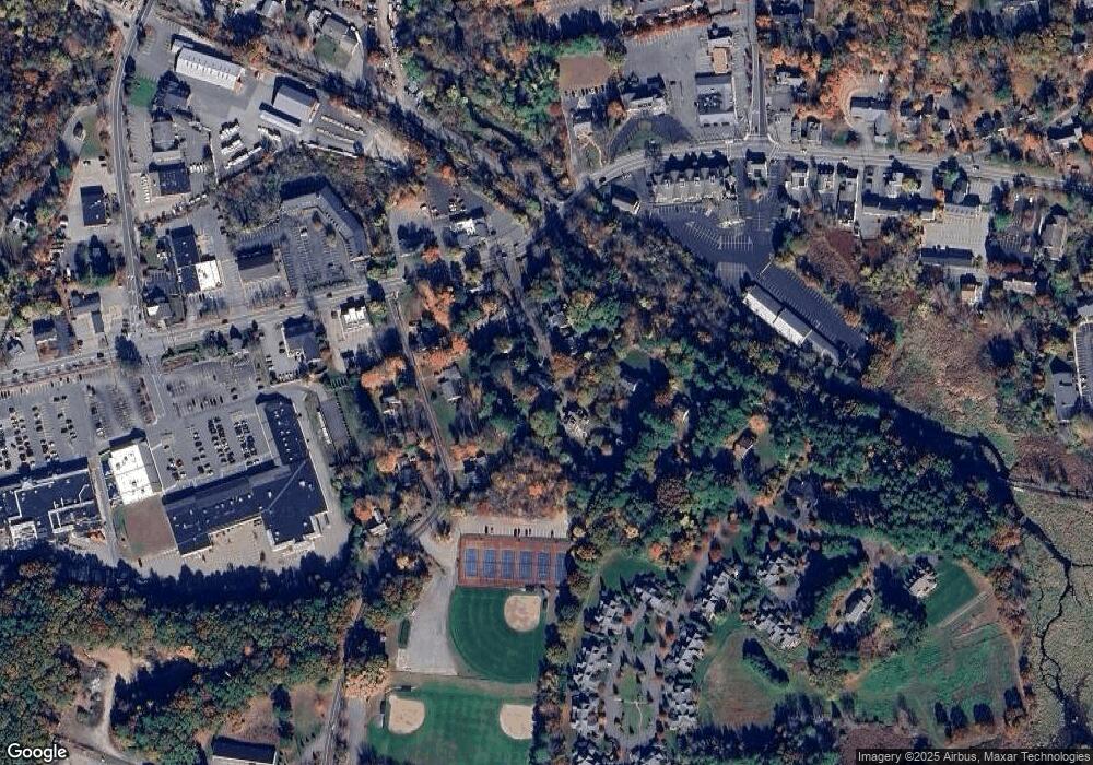
Map
Nearby Homes
- 1011 Boston Post Rd
- 36 Concord Rd
- 23 Massasoit Ave
- 24 Woodland Rd
- 216 Landham Rd
- 94 Goodmans Hill Rd
- 7 Adams Rd
- 89 Bridle Path
- 84 Hopestill Brown Rd
- 270 Old Lancaster Rd
- 0 Wagonwheel Rd
- 91 Eaton Rd W
- 32 Eaton Rd W
- 0 Robbins Rd
- 63 Landham Rd
- 19 Nob Hill Dr
- 12 Hickory Rd
- 30 Rolling Ln
- 6 Old County Rd Unit 16
- 14 Eisenhower Rd
- 11 Maple Ave
- 19 Maple Ave
- 14 Maple Ave
- 7 Maple Ave
- 246 Raymond Rd
- 10 Maple Ave
- 25 Maple Ave
- 236 Raymond Rd
- 22 Maple Ave
- 4 Maple Ave
- 395 Boston Post Rd
- 395 Boston Post Rd
- 250 Raymond Rd
- 28 Maple Ave
- 245 Raymond Rd
- 31 Maple Ave
- 31 Maple Ave Unit 1
- 31 Maple Ave Unit R
- 31 Maple Ave Unit B
- 239 Raymond Rd