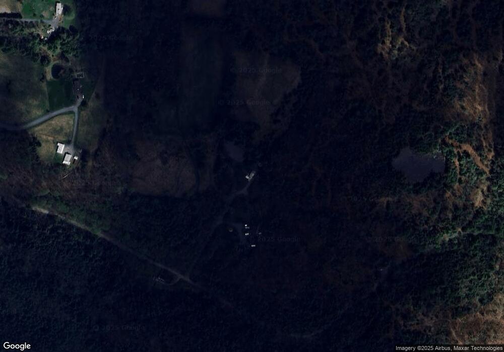
15 Maple Dr Cornish, NH 03745
Estimated Value: $285,000 - $441,000
1
Bed
1
Bath
719
Sq Ft
$492/Sq Ft
Est. Value
About This Home
This home is located at 15 Maple Dr, Cornish, NH 03745 and is currently estimated at $353,698, approximately $491 per square foot. 15 Maple Dr is a home located in Sullivan County with nearby schools including Cornish Elementary School.
Create a Home Valuation Report for This Property
The Home Valuation Report is an in-depth analysis detailing your home's value as well as a comparison with similar homes in the area
Home Values in the Area
Average Home Value in this Area
Tax History Compared to Growth
Tax History
| Year | Tax Paid | Tax Assessment Tax Assessment Total Assessment is a certain percentage of the fair market value that is determined by local assessors to be the total taxable value of land and additions on the property. | Land | Improvement |
|---|---|---|---|---|
| 2024 | $3,563 | $220,095 | $119,595 | $100,500 |
| 2023 | $3,098 | $118,107 | $76,307 | $41,800 |
| 2022 | $2,843 | $120,098 | $78,298 | $41,800 |
| 2021 | $2,772 | $122,070 | $80,270 | $41,800 |
| 2020 | $2,599 | $122,053 | $80,253 | $41,800 |
| 2019 | $2,384 | $122,134 | $80,334 | $41,800 |
| 2018 | $3,541 | $104,921 | $71,321 | $33,600 |
| 2017 | $2,251 | $104,614 | $71,014 | $33,600 |
| 2016 | $2,238 | $104,569 | $70,969 | $33,600 |
| 2015 | $2,398 | $104,296 | $70,696 | $33,600 |
| 2014 | $2,367 | $104,192 | $76,492 | $27,700 |
| 2013 | $2,632 | $125,504 | $94,204 | $31,300 |
Source: Public Records
Map
Nearby Homes
- 466 Parsonage Rd
- 0 Route 120 Route Unit 48
- Lot 73A & 74A East Rd
- 614 Redwater Brook Rd
- 00 Tandy Brook Rd Unit 12
- 0 Cat Hole Rd Unit 5052634
- 00 Hewitt Rd
- 0 Slab City Rd Unit 5036741
- 0 Hanover St Unit 1
- 17 Alderwood Ct
- 00 E Green Mountain Rd Unit 13
- 342 E Green Mountain Rd
- 16 Eric Place
- 003 E Green Mountain Rd
- 002 E Green Mountain Rd
- 001 E Green Mountain Rd
- 381 E Green Mountain Rd
- 43 Davis St
- 68 Jarvis St Unit 70
- 300 E Green Mountain Rd
