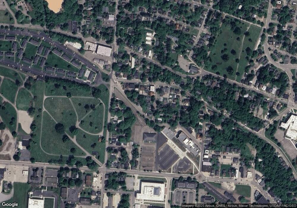
15 Maple St Athens, OH 45701
Estimated Value: $142,000 - $195,059
4
Beds
1
Bath
1,600
Sq Ft
$110/Sq Ft
Est. Value
About This Home
COLLEGE HOUSING / OHIO UNIVERSITY! Lease starts May 3, 2026, ends May 2, 2027. Four bedroom house for four persons. Great location. Refinished hardwood floors. Covered side deck. Back yard with nice view of West Green area. Basement. Washer, dryer. Central air. Ultima 2000 Series double-pane vinyl replacement windows. Window blinds included. Four-person joint lease. Rent includes lawn care and full time maintenance. Carport. Off street parking for three vehicles.
Ownership History
Date
Name
Owned For
Owner Type
Purchase Details
Closed on
Mar 17, 2006
Sold by
Gilmore James R and Gilmore Jennifer M
Bought by
Lheureaux M Michael and Lheureaux Joanne R
Current Estimated Value
Purchase Details
Closed on
Jun 4, 2002
Sold by
Renz William F
Bought by
Gilmore James R
Purchase Details
Closed on
Jan 31, 1994
Sold by
Kent Larry
Bought by
Kent Judith J
Create a Home Valuation Report for This Property
The Home Valuation Report is an in-depth analysis detailing your home's value as well as a comparison with similar homes in the area
Home Values in the Area
Average Home Value in this Area
Purchase History
| Date | Buyer | Sale Price | Title Company |
|---|---|---|---|
| Lheureaux M Michael | $110,000 | None Available | |
| Gilmore James R | $91,000 | -- | |
| Kent Judith J | -- | -- |
Source: Public Records
Property History
| Date | Event | Price | List to Sale | Price per Sq Ft |
|---|---|---|---|---|
| 09/13/2025 09/13/25 | Off Market | $2,600 | -- | -- |
| 08/27/2025 08/27/25 | For Rent | $2,600 | -- | -- |
Tax History
| Year | Tax Paid | Tax Assessment Tax Assessment Total Assessment is a certain percentage of the fair market value that is determined by local assessors to be the total taxable value of land and additions on the property. | Land | Improvement |
|---|---|---|---|---|
| 2024 | $2,944 | $54,140 | $6,600 | $47,540 |
| 2023 | $2,738 | $54,140 | $6,600 | $47,540 |
| 2022 | $2,314 | $43,740 | $6,600 | $37,140 |
| 2021 | $2,325 | $43,740 | $6,600 | $37,140 |
| 2020 | $2,255 | $43,740 | $6,600 | $37,140 |
| 2019 | $2,189 | $41,880 | $5,920 | $35,960 |
| 2018 | $2,161 | $41,880 | $5,920 | $35,960 |
| 2017 | $3,730 | $41,880 | $5,920 | $35,960 |
| 2016 | $1,868 | $37,420 | $5,640 | $31,780 |
| 2015 | $3,418 | $37,420 | $5,640 | $31,780 |
| 2014 | $3,418 | $37,420 | $5,640 | $31,780 |
| 2013 | $3,250 | $36,570 | $5,640 | $30,930 |
Source: Public Records
Map
Nearby Homes
- 0 Roberts St
- 11 Walker St
- 15 S Shafer St Unit 201
- 15 S Shafer St Unit 1509
- 15 S Shafer St Unit 608
- 15 S Shafer St Unit 2104
- 15 S Shafer St Unit 1306
- 15 S Shafer St Unit 2102
- 71 W Washington St
- 56.15/15.5 Central & Clark
- 98 Central Ave
- 80 Court
- 193 N Lancaster St
- 64 Franklin Ave
- 25 Elliott St
- 550 W Union St
- 177 Grosvenor St
- 121 Morris Ave
- 8181 Dairy Ln
- 115 University Estates Blvd
- 11 Maple St
- 19 Maple St
- 12.5 Maple
- 15 Byard St
- 25 Maple St
- 3 Maple St
- 205 W Washington St
- 205 W Washington St Unit 1
- 12 Maple St
- 12 Maple St
- 211 W Washington St
- 16 Maple St
- 18 Maple St
- 10 Maple St
- 215 W Washington St
- 24 Maple St
- 193 W Washington St
- 26 Maple St
- 221 W Washington St Unit Washington 1 and 2 b
- 221 W Washington St Unit Washington 1-4
Your Personal Tour Guide
Ask me questions while you tour the home.
