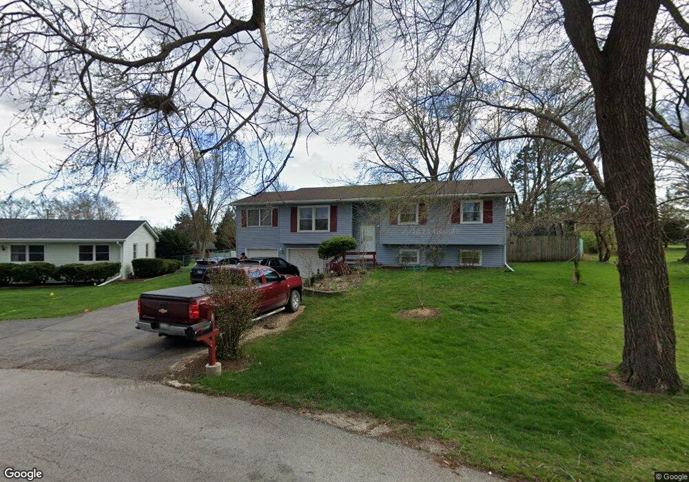
15 Marlin Dr Oswego, IL 60543
Northwest Oswego NeighborhoodEstimated Value: $315,000 - $330,000
4
Beds
2
Baths
1,420
Sq Ft
$226/Sq Ft
Est. Value
About This Home
This home is located at 15 Marlin Dr, Oswego, IL 60543 and is currently estimated at $321,365, approximately $226 per square foot. 15 Marlin Dr is a home located in Kendall County with nearby schools including Fox Chase Elementary School, Traughber Junior High School, and Oswego High School.
Ownership History
Date
Name
Owned For
Owner Type
Purchase Details
Closed on
Aug 31, 2017
Sold by
Martens Lee Ann and Darrell L Gaar Revocable Trust
Bought by
Zepeda Bernardo and Zepeda Maria
Current Estimated Value
Home Financials for this Owner
Home Financials are based on the most recent Mortgage that was taken out on this home.
Original Mortgage
$199,811
Outstanding Balance
$169,474
Interest Rate
4.5%
Mortgage Type
FHA
Estimated Equity
$151,891
Purchase Details
Closed on
Jul 17, 2009
Sold by
Gaar Darrell L
Bought by
Gaar Darrell L
Create a Home Valuation Report for This Property
The Home Valuation Report is an in-depth analysis detailing your home's value as well as a comparison with similar homes in the area
Home Values in the Area
Average Home Value in this Area
Purchase History
| Date | Buyer | Sale Price | Title Company |
|---|---|---|---|
| Zepeda Bernardo | $203,500 | Fidelity National Title | |
| Gaar Darrell L | -- | None Available |
Source: Public Records
Mortgage History
| Date | Status | Borrower | Loan Amount |
|---|---|---|---|
| Open | Zepeda Bernardo | $199,811 |
Source: Public Records
Tax History Compared to Growth
Tax History
| Year | Tax Paid | Tax Assessment Tax Assessment Total Assessment is a certain percentage of the fair market value that is determined by local assessors to be the total taxable value of land and additions on the property. | Land | Improvement |
|---|---|---|---|---|
| 2024 | $7,097 | $95,655 | $18,498 | $77,157 |
| 2023 | $6,621 | $86,176 | $16,665 | $69,511 |
| 2022 | $6,621 | $80,539 | $15,575 | $64,964 |
| 2021 | $6,188 | $73,217 | $14,159 | $59,058 |
| 2020 | $5,745 | $67,793 | $13,110 | $54,683 |
| 2019 | $5,411 | $63,278 | $13,110 | $50,168 |
| 2018 | $4,759 | $58,591 | $12,139 | $46,452 |
| 2017 | $4,342 | $54,001 | $11,188 | $42,813 |
| 2016 | $4,118 | $51,186 | $10,605 | $40,581 |
| 2015 | $4,010 | $48,289 | $10,005 | $38,284 |
| 2014 | -- | $45,556 | $9,439 | $36,117 |
| 2013 | -- | $46,016 | $9,534 | $36,482 |
Source: Public Records
Map
Nearby Homes
- 11-13 W Anchor Rd
- 5.43 B-3 Commercial State Route 31
- 7.43 Acres Vacant La State Route 31
- 2100 Light Rd Unit 109
- 2300 Light Rd Unit 209
- 173 Dolores St
- 1415 State Route 31
- 1721 State Route 31
- 119 Garden Dr
- 409 Fawn Dr
- 3 Scarsdale Rd
- 117 Boulder Hill Pass Unit 117
- 805 Cougar Ln
- 435 Fawn Dr
- 38 Ashlawn Ave
- 133 River Mist Dr Unit 3
- 458 Greenview Ln
- 156 River Mist Dr
- 608 Clearwater Ct
- 602 Clearwater Ct Unit 2