Estimated Value: $884,000 - $1,043,978
3
Beds
3
Baths
3,344
Sq Ft
$284/Sq Ft
Est. Value
About This Home
This home is located at 15 Mill Rd, Cumberland Center, ME 04021 and is currently estimated at $948,745, approximately $283 per square foot. 15 Mill Rd is a home located in Cumberland County with nearby schools including Mabel I. Wilson School, Greely Middle School 4-5, and Greely Middle School.
Ownership History
Date
Name
Owned For
Owner Type
Purchase Details
Closed on
Jan 15, 2021
Sold by
Copp Elvin H
Bought by
Copp Elvin H and Copp Randall E
Current Estimated Value
Create a Home Valuation Report for This Property
The Home Valuation Report is an in-depth analysis detailing your home's value as well as a comparison with similar homes in the area
Home Values in the Area
Average Home Value in this Area
Purchase History
| Date | Buyer | Sale Price | Title Company |
|---|---|---|---|
| Copp Elvin H | -- | None Available |
Source: Public Records
Tax History Compared to Growth
Tax History
| Year | Tax Paid | Tax Assessment Tax Assessment Total Assessment is a certain percentage of the fair market value that is determined by local assessors to be the total taxable value of land and additions on the property. | Land | Improvement |
|---|---|---|---|---|
| 2024 | $12,911 | $555,300 | $140,400 | $414,900 |
| 2023 | $12,300 | $555,300 | $140,400 | $414,900 |
| 2022 | $11,772 | $555,300 | $140,400 | $414,900 |
| 2021 | $11,411 | $555,300 | $140,400 | $414,900 |
| 2020 | $10,796 | $555,300 | $140,400 | $414,900 |
| 2019 | $11,023 | $555,300 | $140,400 | $414,900 |
| 2018 | $10,762 | $546,300 | $140,400 | $405,900 |
| 2017 | $10,270 | $546,300 | $140,400 | $405,900 |
| 2016 | $9,970 | $546,300 | $140,400 | $405,900 |
| 2015 | $9,888 | $546,300 | $140,400 | $405,900 |
| 2014 | $9,506 | $546,300 | $140,400 | $405,900 |
| 2013 | $9,287 | $546,300 | $140,400 | $405,900 |
Source: Public Records
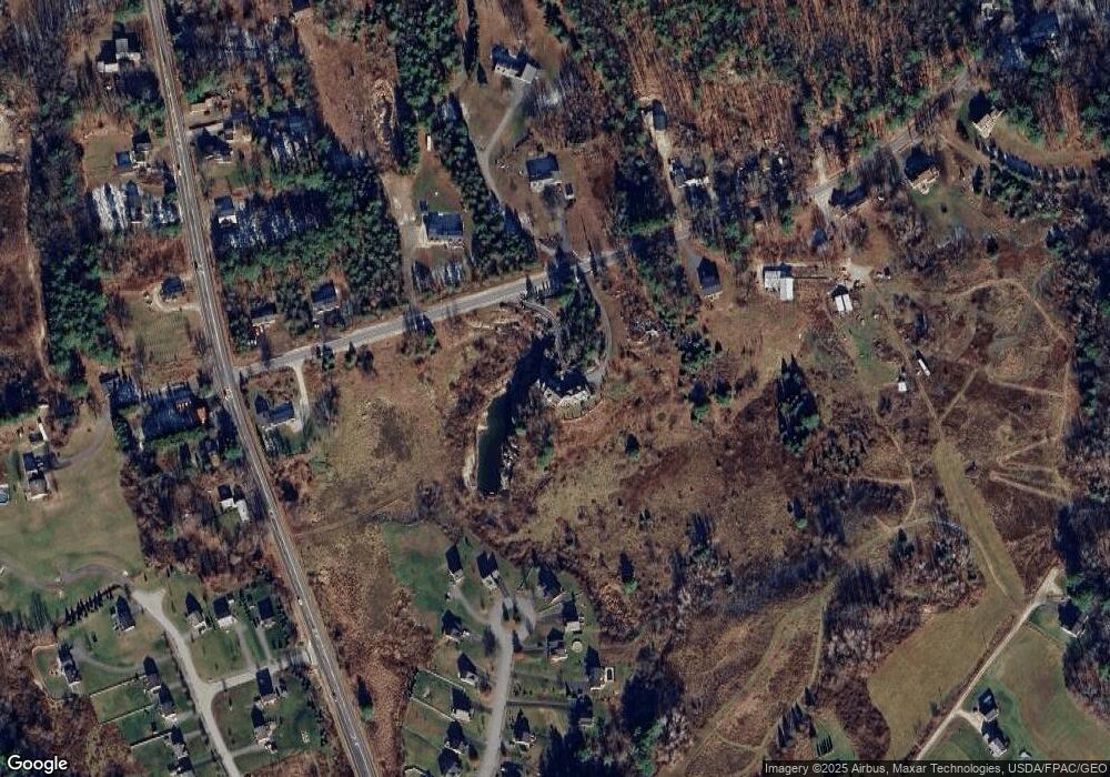
Map
Nearby Homes
- 7 Preston Way
- 17 Buds Trail
- 9 Mill Ridge Rd
- 8 Feldspar Ln Unit 29
- 24 Feldspar Ln Unit 23
- 8 George Rd
- 1 Feldspar Ln Unit 1
- 26 Feldspar Ln Unit 22
- 23 Feldspar Ln Unit 12
- 27 Feldspar Ln Unit 14
- 21 Feldspar Ln Unit 11
- 13 Feldspar Ln Unit 7
- 30 Feldspar Ln Unit 21
- 15 Feldspar Ln Unit 8
- 57&57D Tinker Ln and Pointer Way
- 11 Feldspar Ln Unit 6
- 43 Skillin Rd
- 25 Feldspar Ln Unit 13
- 0 Tinker Ln Unit 57D
- 0 Pointer Way Unit LOT 57
- 21A Mill St
- 21 Mill Rd
- 21 Castle Rock Dr
- 20 Castlerock Dr
- 20 Castle Rock Dr
- 21 Castlerock Drive Lot 9
- 19 Castle Rock Dr
- 9 Interurban Dr
- 18 Castlerock Drive (Lot 11)
- 23 Mill Rd
- 19 Castlerock Dr
- 19 Castle Rock Dr
- 19 Castlerock Drive Lot 8
- 19 Castlerock Drive (Lot 8)
- 10 Mill Rd
- 14 Castle Rock Dr
- 14 Castle Rock Drive Lot 12
- Lot 14 Castlerock Dr
- 15 Castlerock Drive Lot 7
- Lot 15 Castlerock Dr