15 Muddy Cove Rd Chilmark, MA 02535
Chilmark NeighborhoodEstimated Value: $3,338,000 - $5,060,000
3
Beds
6
Baths
2,581
Sq Ft
$1,648/Sq Ft
Est. Value
About This Home
This home is located at 15 Muddy Cove Rd, Chilmark, MA 02535 and is currently estimated at $4,252,840, approximately $1,647 per square foot. 15 Muddy Cove Rd is a home located in Dukes County with nearby schools including Martha's Vineyard Regional High School.
Ownership History
Date
Name
Owned For
Owner Type
Purchase Details
Closed on
Sep 20, 2022
Sold by
Guylay Wesley R
Bought by
Guylay 2022 Ft and Guylay
Current Estimated Value
Purchase Details
Closed on
May 19, 2021
Sold by
Triest-Guylay Tery B and Guylay Wesley R
Bought by
Guylay Wesley R
Purchase Details
Closed on
May 10, 2019
Sold by
Guylay Jeffrey R and Guylay-Lawson Sandra
Bought by
Triest-Guylay Terry B and Guylay Wesley R
Purchase Details
Closed on
May 9, 2019
Sold by
Guylay 1999 Qprt and Guylay T
Bought by
Guylay Jeffrey R and Guylay-Lawson Sandra
Create a Home Valuation Report for This Property
The Home Valuation Report is an in-depth analysis detailing your home's value as well as a comparison with similar homes in the area
Home Values in the Area
Average Home Value in this Area
Purchase History
| Date | Buyer | Sale Price | Title Company |
|---|---|---|---|
| Guylay 2022 Ft | -- | None Available | |
| Guylay 2022 Ft | -- | None Available | |
| Guylay Wesley R | -- | None Available | |
| Guylay Wesley R | -- | None Available | |
| Triest-Guylay Terry B | $2,635,000 | -- | |
| Triest-Guylay Terry B | $2,635,000 | -- | |
| Guylay Jeffrey R | -- | -- | |
| Guylay Jeffrey R | -- | -- |
Source: Public Records
Tax History Compared to Growth
Tax History
| Year | Tax Paid | Tax Assessment Tax Assessment Total Assessment is a certain percentage of the fair market value that is determined by local assessors to be the total taxable value of land and additions on the property. | Land | Improvement |
|---|---|---|---|---|
| 2025 | $9,829 | $4,368,300 | $2,860,400 | $1,507,900 |
| 2024 | $8,941 | $4,217,400 | $2,759,700 | $1,457,700 |
| 2023 | $8,581 | $3,262,700 | $2,122,700 | $1,140,000 |
| 2022 | $8,717 | $3,091,000 | $2,122,700 | $968,300 |
| 2021 | $8,560 | $2,941,500 | $2,122,700 | $818,800 |
| 2020 | $8,334 | $2,914,100 | $2,081,100 | $833,000 |
| 2019 | $8,231 | $2,858,100 | $2,081,100 | $777,000 |
| 2018 | $7,860 | $2,858,100 | $2,081,100 | $777,000 |
| 2017 | $7,644 | $2,852,100 | $2,081,200 | $770,900 |
| 2016 | $7,713 | $2,846,000 | $2,081,200 | $764,800 |
| 2015 | $7,509 | $2,855,000 | $2,081,200 | $773,800 |
| 2014 | $6,921 | $2,790,600 | $2,240,700 | $549,900 |
Source: Public Records
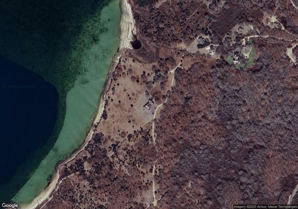
Map
Nearby Homes
- 4 Cedar Ln Unit 2.2
- 20 Eliot Ave
- 11 Greenhouse Ln
- 34 Edys Island Way
- 16 Shotnaigher Ln
- 7 Clay Pit Ln
- 14 Ridge Rd Unit 94
- 64 Squibnocket Farm Rd
- 9 Moshup Trail
- 18 Spruce Gate Rd
- 18 Homeward Way
- 654 Lighthouse Rd
- 12 Lobsterville Rd
- 49 Gosnold's Way
- 25 Fulling Mill Rd
- 44 Cencelle St
- 100 Gosnolds Way
- 1 Crowberry Ln Unit 19
- 46 Tercel Ln
- 6 Trails End
- 32 Abels Neck Rd
- 33 Abel's Neck Rd
- 33 Abels Neck Rd
- 26 Abel's Neck Rd
- 26 Abels Neck Rd
- 27 Abels Neck Rd
- 27 Abel's Neck Rd Unit ID1301705P
- 43 Meadow Ln
- 18 Abels Neck Rd
- 10 Meadow Ln
- 17 Abels Neck Rd
- 40 Meadow Ln
- 6 Abels Neck Rd
- 8 Rd
- 8 Abels Neck Rd
- 46 Meadow Ln
- 4 Abels Neck Rd
- 26 Meadow Ln
- 18 Meadow Ln
- 10 Abels Neck Rd