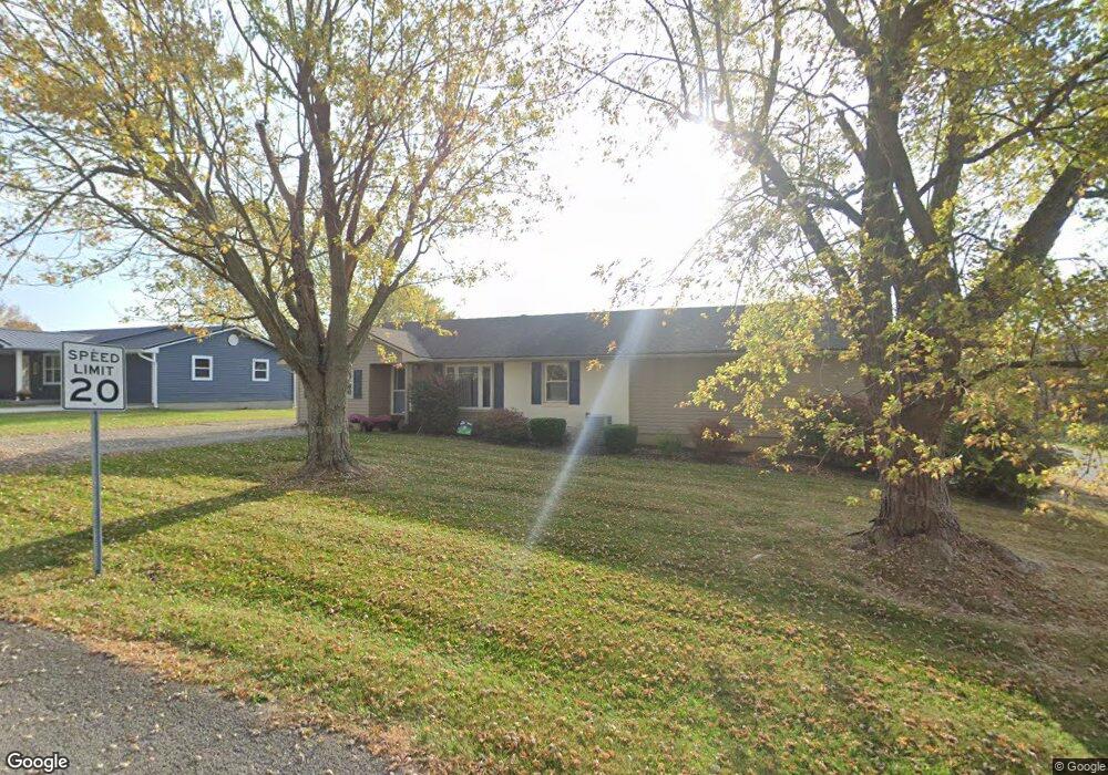
15 Newstedt Ave West Union, OH 45693
Estimated Value: $173,000 - $226,000
4
Beds
2
Baths
2,564
Sq Ft
$78/Sq Ft
Est. Value
About This Home
This home is located at 15 Newstedt Ave, West Union, OH 45693 and is currently estimated at $198,757, approximately $77 per square foot. 15 Newstedt Ave is a home located in Adams County with nearby schools including West Union Elementary School, West Union High School, and Adams County Christian School.
Ownership History
Date
Name
Owned For
Owner Type
Purchase Details
Closed on
Mar 10, 2017
Sold by
Fulton Rick
Bought by
Mason Joshua and Mason Vicky L
Current Estimated Value
Home Financials for this Owner
Home Financials are based on the most recent Mortgage that was taken out on this home.
Original Mortgage
$134,055
Outstanding Balance
$111,227
Interest Rate
4.19%
Mortgage Type
FHA
Estimated Equity
$87,530
Purchase Details
Closed on
Dec 1, 1977
Bought by
Fulton Rick
Create a Home Valuation Report for This Property
The Home Valuation Report is an in-depth analysis detailing your home's value as well as a comparison with similar homes in the area
Home Values in the Area
Average Home Value in this Area
Purchase History
| Date | Buyer | Sale Price | Title Company |
|---|---|---|---|
| Mason Joshua | $155,000 | None Available | |
| Fulton Rick | $24,500 | -- |
Source: Public Records
Mortgage History
| Date | Status | Borrower | Loan Amount |
|---|---|---|---|
| Open | Mason Joshua | $134,055 |
Source: Public Records
Tax History Compared to Growth
Tax History
| Year | Tax Paid | Tax Assessment Tax Assessment Total Assessment is a certain percentage of the fair market value that is determined by local assessors to be the total taxable value of land and additions on the property. | Land | Improvement |
|---|---|---|---|---|
| 2024 | $1,711 | $45,650 | $5,360 | $40,290 |
| 2023 | $1,573 | $45,650 | $5,360 | $40,290 |
| 2022 | $1,573 | $39,350 | $4,030 | $35,320 |
| 2021 | $1,466 | $39,350 | $4,030 | $35,320 |
| 2020 | $1,499 | $39,350 | $4,030 | $35,320 |
| 2019 | $1,499 | $39,350 | $4,030 | $35,320 |
| 2018 | $1,433 | $36,130 | $4,030 | $32,100 |
| 2017 | $1,374 | $36,130 | $4,030 | $32,100 |
| 2016 | $1,372 | $36,130 | $4,030 | $32,100 |
| 2015 | $1,425 | $38,720 | $4,170 | $34,550 |
| 2014 | $1,426 | $38,720 | $4,170 | $34,550 |
Source: Public Records
Map
Nearby Homes
- 40 Greenwood Ave
- 81 Evergreen St
- 0 Cic Blvd
- 4423 Pumpkin Ridge Rd
- 144 ac Pumpkin Ridge Rd
- 9598 State Route 41
- 271 Crawford Rd
- 0 State Route 41 1 Acre Lot
- 333 Crawford Rd
- 714 Panhandle Ave
- 286 & 290 S Market St
- 408 W South St
- 101 S Mound St
- 4700 Ohio 247
- 305 W Walnut St
- 216 S Market St
- 302 W Main St
- 12196 State Route 41
- 585 High St
- 537 1st St
- 33 Newstedt Ave
- 30 Newstedt Ave
- 160 Mchenry Rd
- 45 Newstedt Ave
- 50 Newstedt Ave
- 63 Newstedt Ave
- 60 Newstedt Ave
- 77 Newstedt Ave
- 17 Greenwood Ave
- 33 Greenwood Ave
- 80 Newstedt Ave
- 45 Greenwood Ave
- 16 Greenwood Ave
- 26 Greenwood Ave
- 99 Newstedt Ave
- 77 Greenwood Ave
- 100 Newstedt Ave
- 67 Greenwood Ave
- 121 Newstedt Ave
- 80 Greenwood Ave