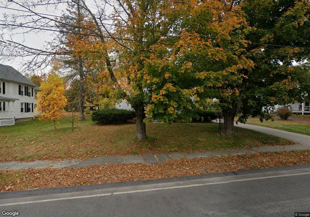
15 Newton St West Boylston, MA 01583
Estimated Value: $548,266 - $617,000
5
Beds
2
Baths
2,318
Sq Ft
$248/Sq Ft
Est. Value
About This Home
This home is located at 15 Newton St, West Boylston, MA 01583 and is currently estimated at $574,817, approximately $247 per square foot. 15 Newton St is a home located in Worcester County with nearby schools including Major Edwards Elementary School, West Boylston Junior/Senior High School, and Abby Kelley Foster Charter Public School.
Ownership History
Date
Name
Owned For
Owner Type
Purchase Details
Closed on
Oct 28, 2019
Sold by
Arthur W Nichols Ret
Bought by
Fbo Arthur W Nichols Rlt
Current Estimated Value
Purchase Details
Closed on
May 26, 2016
Sold by
Nichols Arthur W
Bought by
Arthur W Nichols Ret
Purchase Details
Closed on
Sep 24, 1968
Bought by
Nichols Arthur W
Create a Home Valuation Report for This Property
The Home Valuation Report is an in-depth analysis detailing your home's value as well as a comparison with similar homes in the area
Home Values in the Area
Average Home Value in this Area
Purchase History
| Date | Buyer | Sale Price | Title Company |
|---|---|---|---|
| Fbo Arthur W Nichols Rlt | -- | -- | |
| Arthur W Nichols Ret | -- | -- | |
| Nichols Arthur W | -- | -- |
Source: Public Records
Mortgage History
| Date | Status | Borrower | Loan Amount |
|---|---|---|---|
| Previous Owner | Nichols Arthur W | $40,000 |
Source: Public Records
Tax History Compared to Growth
Tax History
| Year | Tax Paid | Tax Assessment Tax Assessment Total Assessment is a certain percentage of the fair market value that is determined by local assessors to be the total taxable value of land and additions on the property. | Land | Improvement |
|---|---|---|---|---|
| 2025 | $63 | $453,100 | $107,800 | $345,300 |
| 2024 | $6,063 | $410,200 | $110,800 | $299,400 |
| 2023 | $6,506 | $417,600 | $110,000 | $307,600 |
| 2022 | $5,813 | $328,800 | $113,000 | $215,800 |
| 2021 | $5,841 | $316,400 | $108,600 | $207,800 |
| 2020 | $5,433 | $292,400 | $111,500 | $180,900 |
| 2019 | $5,214 | $276,600 | $111,500 | $165,100 |
| 2018 | $4,940 | $263,900 | $111,500 | $152,400 |
| 2017 | $4,903 | $260,800 | $111,500 | $149,300 |
| 2016 | $4,601 | $249,400 | $104,000 | $145,400 |
| 2015 | $4,295 | $234,200 | $102,900 | $131,300 |
Source: Public Records
Map
Nearby Homes
- 54 Maple St
- 20 Winthrop St
- 39 Davidson Rd
- 136 Sterling St Unit A3
- 1 Highland Ave
- 23 Western Ave
- 16 N Main St
- 12 Birchbrush Ln
- 1 Juneberry Ln Unit 82
- 535 Prospect St
- 740 Burncoat St Unit B
- 21 Wyoming Dr
- 33 Isleboro St
- 29 Isleboro St
- 1110 W Boylston St Unit A
- 156 Hillside Village Dr
- 23 Orono St
- 15 Cumberland St
- 127 N Main St
- 71 Hillside Village Dr