15 Noah Ln Harding, PA 18643
Estimated Value: $408,000 - $577,982
--
Bed
--
Bath
3,368
Sq Ft
$158/Sq Ft
Est. Value
About This Home
This home is located at 15 Noah Ln, Harding, PA 18643 and is currently estimated at $533,496, approximately $158 per square foot. 15 Noah Ln is a home located in Luzerne County with nearby schools including Wyoming Area Secondary Center.
Ownership History
Date
Name
Owned For
Owner Type
Purchase Details
Closed on
Jul 28, 2014
Sold by
Piccolotti Ronald and Piccolotti Tammy
Bought by
Szatkowski Richard
Current Estimated Value
Home Financials for this Owner
Home Financials are based on the most recent Mortgage that was taken out on this home.
Original Mortgage
$320,000
Outstanding Balance
$244,273
Interest Rate
4.14%
Mortgage Type
New Conventional
Estimated Equity
$289,223
Create a Home Valuation Report for This Property
The Home Valuation Report is an in-depth analysis detailing your home's value as well as a comparison with similar homes in the area
Home Values in the Area
Average Home Value in this Area
Purchase History
| Date | Buyer | Sale Price | Title Company |
|---|---|---|---|
| Szatkowski Richard | $400,000 | None Available |
Source: Public Records
Mortgage History
| Date | Status | Borrower | Loan Amount |
|---|---|---|---|
| Open | Szatkowski Richard | $320,000 |
Source: Public Records
Tax History Compared to Growth
Tax History
| Year | Tax Paid | Tax Assessment Tax Assessment Total Assessment is a certain percentage of the fair market value that is determined by local assessors to be the total taxable value of land and additions on the property. | Land | Improvement |
|---|---|---|---|---|
| 2025 | $10,751 | $370,500 | $39,600 | $330,900 |
| 2024 | $10,275 | $370,500 | $39,600 | $330,900 |
| 2023 | $11,690 | $451,700 | $39,600 | $412,100 |
| 2022 | $11,606 | $451,700 | $39,600 | $412,100 |
| 2021 | $11,444 | $451,700 | $39,600 | $412,100 |
| 2020 | $11,175 | $451,700 | $39,600 | $412,100 |
| 2019 | $10,857 | $451,700 | $39,600 | $412,100 |
| 2018 | $10,489 | $451,700 | $39,600 | $412,100 |
| 2017 | $10,253 | $451,700 | $39,600 | $412,100 |
| 2016 | -- | $451,700 | $39,600 | $412,100 |
| 2015 | -- | $451,700 | $39,600 | $412,100 |
| 2014 | -- | $451,700 | $39,600 | $412,100 |
Source: Public Records
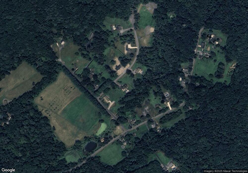
Map
Nearby Homes
- 675 Apple Tree Rd
- 522 Sutton Creek Rd
- 3061 Main St
- 3018 Main St
- 750 Slocum Ave
- 2304 Pennsylvania 92
- 2356 Newton Ransom Blvd
- 2352 Newton Ransom Blvd
- 242 Pauline St
- 711 Jean St
- 314 Terrace Ave
- 9 Circle Dr
- 2694 Ransom Rd
- 0 Campbell Ledge Reservoir Unit 18-190
- 41 Gashi Rd
- 633 Campground Rd
- 798 Coxton Rd
- 0 Lockville Rd Church Rd Unit 25-1114
- 0 Spring & Red Oak Dr Unit GSBSC1753
- 215 Bennett St