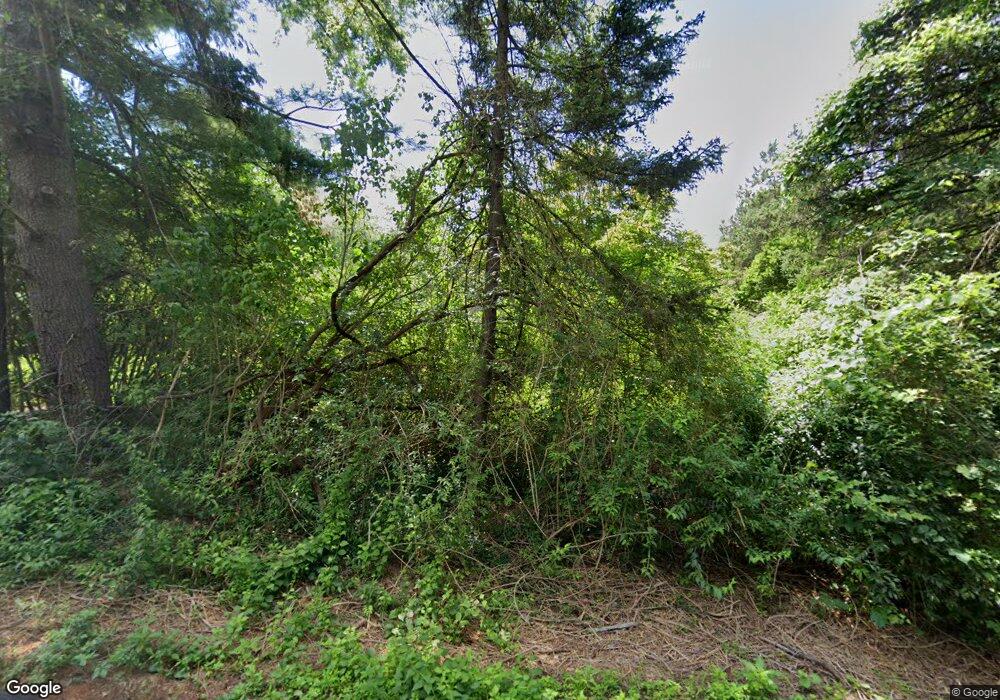
15 Oakhurst Rd Simsbury, CT 06070
Estimated Value: $467,371 - $512,000
3
Beds
2
Baths
1,855
Sq Ft
$264/Sq Ft
Est. Value
About This Home
This home is located at 15 Oakhurst Rd, Simsbury, CT 06070 and is currently estimated at $489,593, approximately $263 per square foot. 15 Oakhurst Rd is a home located in Hartford County with nearby schools including Latimer Lane School, Henry James Memorial School, and Simsbury High School.
Create a Home Valuation Report for This Property
The Home Valuation Report is an in-depth analysis detailing your home's value as well as a comparison with similar homes in the area
Home Values in the Area
Average Home Value in this Area
Tax History Compared to Growth
Tax History
| Year | Tax Paid | Tax Assessment Tax Assessment Total Assessment is a certain percentage of the fair market value that is determined by local assessors to be the total taxable value of land and additions on the property. | Land | Improvement |
|---|---|---|---|---|
| 2025 | $7,924 | $231,980 | $80,360 | $151,620 |
| 2024 | $7,727 | $231,980 | $80,360 | $151,620 |
| 2023 | $7,382 | $231,980 | $80,360 | $151,620 |
| 2022 | $5,519 | $142,860 | $78,580 | $64,280 |
| 2021 | $5,519 | $142,860 | $78,580 | $64,280 |
| 2020 | $5,299 | $142,860 | $78,580 | $64,280 |
| 2019 | $5,332 | $142,860 | $78,580 | $64,280 |
| 2018 | $5,370 | $142,860 | $78,580 | $64,280 |
| 2017 | $5,722 | $147,620 | $78,580 | $69,040 |
| 2016 | $5,480 | $147,620 | $78,580 | $69,040 |
| 2015 | $5,480 | $147,620 | $78,580 | $69,040 |
| 2014 | $5,483 | $147,620 | $78,580 | $69,040 |
Source: Public Records
Map
Nearby Homes
- 301 Bushy Hill Rd
- 302 Bushy Hill Rd
- 395 Bushy Hill Rd
- 19 Glenbrook Dr
- 51 Pine Glen Rd
- 8 Crane Place
- 24 Drumlin Rd
- 3 Minister Brook Dr
- 10 Sachems Trail
- 26 Red Stone Dr
- 1 Alcima Dr
- 370A W Mountain Rd
- 4 Adams Rd
- 14 Nod Brook Dr
- 121 Gracey Rd
- 36 Blue Ridge Dr
- 25 Tall Wood Hollow
- 120 Climax Rd
- 18 Meadowlark Rd
- 23 Red Fox Run
