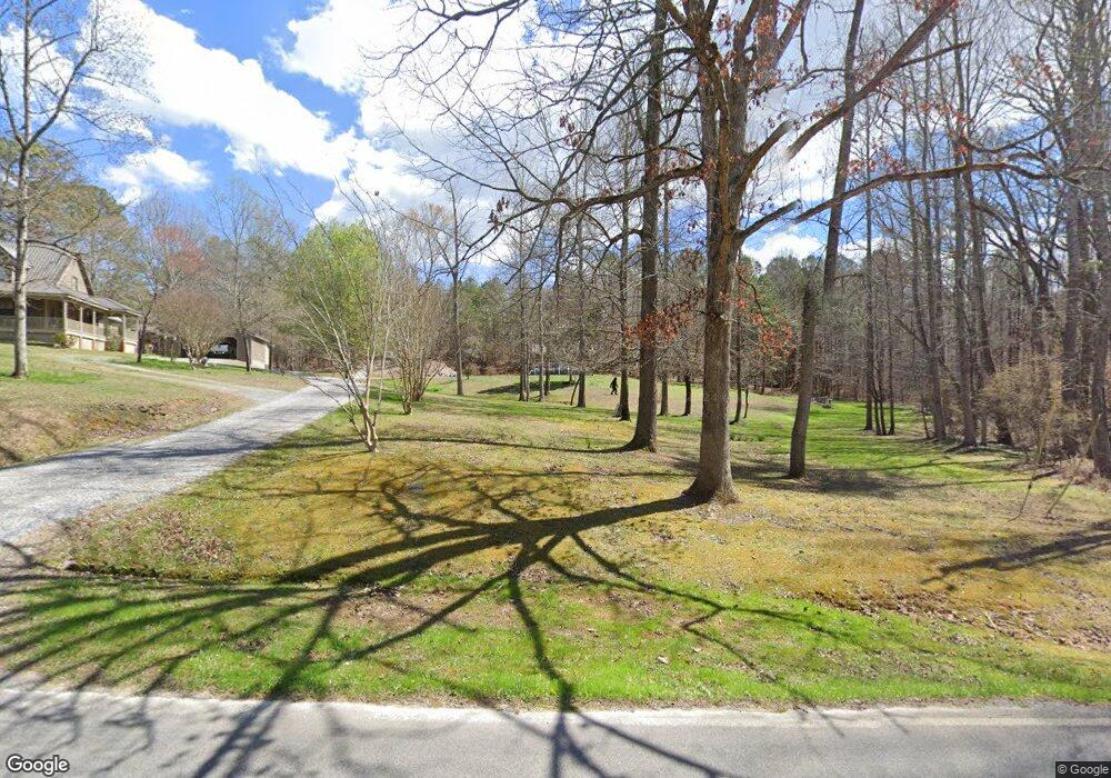
15 Pappy Ln Rock Spring, GA 30739
Rock Spring NeighborhoodEstimated Value: $368,378 - $461,000
--
Bed
2
Baths
2,096
Sq Ft
$193/Sq Ft
Est. Value
About This Home
This home is located at 15 Pappy Ln, Rock Spring, GA 30739 and is currently estimated at $404,459, approximately $192 per square foot. 15 Pappy Ln is a home located in Walker County with nearby schools including Rock Spring Elementary School, Lafayette High School, and Alice M Daley Adventist School.
Ownership History
Date
Name
Owned For
Owner Type
Purchase Details
Closed on
Jul 26, 2013
Sold by
Mcgill Gary M
Bought by
Hamala Joseph
Current Estimated Value
Home Financials for this Owner
Home Financials are based on the most recent Mortgage that was taken out on this home.
Original Mortgage
$63,450
Interest Rate
4.43%
Mortgage Type
New Conventional
Purchase Details
Closed on
Jun 26, 1987
Sold by
Hankins H C
Bought by
Mcgill Gary M and Mcgill Shirley
Purchase Details
Closed on
Jan 1, 1972
Bought by
Hankins H C
Create a Home Valuation Report for This Property
The Home Valuation Report is an in-depth analysis detailing your home's value as well as a comparison with similar homes in the area
Home Values in the Area
Average Home Value in this Area
Purchase History
| Date | Buyer | Sale Price | Title Company |
|---|---|---|---|
| Hamala Joseph | $70,500 | -- | |
| Mcgill Gary M | $36,000 | -- | |
| Hankins H C | -- | -- |
Source: Public Records
Mortgage History
| Date | Status | Borrower | Loan Amount |
|---|---|---|---|
| Closed | Hamala Joseph | $63,450 |
Source: Public Records
Tax History Compared to Growth
Tax History
| Year | Tax Paid | Tax Assessment Tax Assessment Total Assessment is a certain percentage of the fair market value that is determined by local assessors to be the total taxable value of land and additions on the property. | Land | Improvement |
|---|---|---|---|---|
| 2024 | $1,312 | $155,234 | $25,679 | $129,555 |
| 2023 | $1,269 | $143,340 | $20,380 | $122,960 |
| 2022 | $1,141 | $127,769 | $22,333 | $105,436 |
| 2021 | $1,218 | $101,250 | $22,333 | $78,917 |
| 2020 | $884 | $83,148 | $22,333 | $60,815 |
| 2019 | $894 | $83,148 | $22,333 | $60,815 |
Source: Public Records
Map
Nearby Homes
- 0 Tarvin Rd Unit 1523862
- 5602 Georgia 95
- 00 Georgia 95
- 0 Cheshire Crossing Dr Unit 1387793
- 10180 Us Highway 27
- 0 Veeler Rd Unit 1522679
- 0 Veeler Rd Unit 10628696
- 1003 Highway N Old 27
- 15 Willow Cir
- 1370 Old Highway 27
- 23 Willow Cir
- 16 Willow Cir
- 11 Willow Cir
- The Pearson Plan at Laurel Ridge
- The Benson II Plan at Laurel Ridge
- The Langford Plan at Laurel Ridge
- The Lawson Plan at Laurel Ridge
- The Piedmont Plan at Laurel Ridge
- 0 Hankins Rd Unit 18224
- 0 Hankins Rd
- 526 Hankins Rd
- 511 Hankins Rd
- 620 Hankins Rd
- 692 Hankins Rd
- 504 Hankins Rd
- 95 Highway
- 433 Hankins Rd
- 386 Hankins Rd
- 502 Hankins Rd
- 389 Hankins Rd
- 737 Hankins Rd
- 778 Hankins Rd
- 819 Hankins Rd
- 290 Hankins Rd
- 2416 Highway 95
- 851 Hankins Rd
- 227 Hankins Rd
- 318 Hankins Rd
