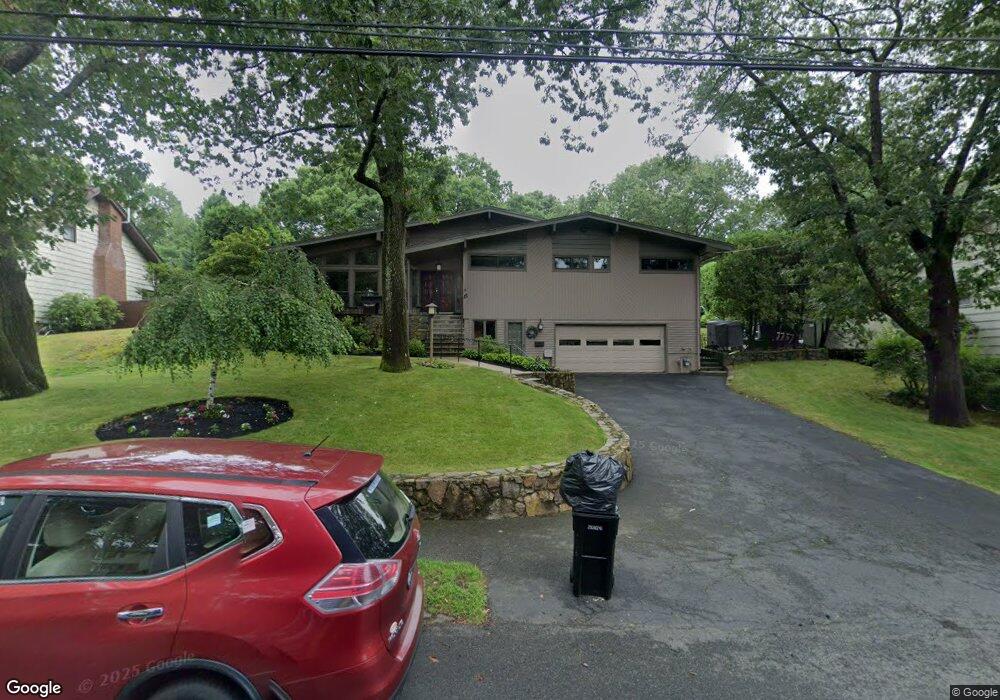
15 Parsons Dr Swampscott, MA 01907
Estimated Value: $1,126,000 - $1,396,000
3
Beds
4
Baths
3,215
Sq Ft
$406/Sq Ft
Est. Value
About This Home
This home is located at 15 Parsons Dr, Swampscott, MA 01907 and is currently estimated at $1,305,461, approximately $406 per square foot. 15 Parsons Dr is a home located in Essex County with nearby schools including Swampscott Middle School and Swampscott High School.
Ownership History
Date
Name
Owned For
Owner Type
Purchase Details
Closed on
Sep 12, 1995
Sold by
Barnes John A
Bought by
Sachar Christine I
Current Estimated Value
Home Financials for this Owner
Home Financials are based on the most recent Mortgage that was taken out on this home.
Original Mortgage
$20,000
Interest Rate
7.8%
Mortgage Type
Purchase Money Mortgage
Purchase Details
Closed on
Jun 7, 1991
Sold by
Hamel Leo E
Bought by
15 Parsons Dr Rt
Home Financials for this Owner
Home Financials are based on the most recent Mortgage that was taken out on this home.
Original Mortgage
$191,400
Interest Rate
9.42%
Mortgage Type
Purchase Money Mortgage
Create a Home Valuation Report for This Property
The Home Valuation Report is an in-depth analysis detailing your home's value as well as a comparison with similar homes in the area
Home Values in the Area
Average Home Value in this Area
Purchase History
| Date | Buyer | Sale Price | Title Company |
|---|---|---|---|
| Sachar Christine I | $25,000 | -- | |
| Sachar Christine I | $25,000 | -- | |
| Sachar Christine I | $25,000 | -- | |
| 15 Parsons Dr Rt | $269,000 | -- |
Source: Public Records
Mortgage History
| Date | Status | Borrower | Loan Amount |
|---|---|---|---|
| Closed | Sachar Christine I | $20,000 | |
| Previous Owner | 15 Parsons Dr Rt | $191,400 | |
| Closed | 15 Parsons Dr Rt | $23,800 |
Source: Public Records
Tax History Compared to Growth
Tax History
| Year | Tax Paid | Tax Assessment Tax Assessment Total Assessment is a certain percentage of the fair market value that is determined by local assessors to be the total taxable value of land and additions on the property. | Land | Improvement |
|---|---|---|---|---|
| 2025 | $12,737 | $1,110,500 | $414,700 | $695,800 |
| 2024 | $12,231 | $1,064,500 | $396,200 | $668,300 |
| 2023 | $11,429 | $973,500 | $371,400 | $602,100 |
| 2022 | $10,336 | $805,600 | $309,500 | $496,100 |
| 2021 | $10,430 | $755,800 | $278,600 | $477,200 |
| 2020 | $10,538 | $736,900 | $278,600 | $458,300 |
| 2019 | $8,752 | $575,800 | $253,800 | $322,000 |
| 2018 | $9,213 | $575,800 | $253,800 | $322,000 |
| 2017 | $9,055 | $518,900 | $222,800 | $296,100 |
| 2016 | $8,672 | $500,400 | $204,300 | $296,100 |
| 2015 | $8,582 | $500,400 | $204,300 | $296,100 |
| 2014 | $8,417 | $450,100 | $173,300 | $276,800 |
Source: Public Records
Map
Nearby Homes
- 309 Paradise Rd
- 306 Paradise Rd
- 71 Walnut Rd
- 5 Summit View Dr
- 10-12 Fairview Ave
- 445 Essex St Unit 304
- 2 Gracie Ln Unit 4
- 51 Barnstable St
- 8 Ryan Place
- 71 Greenwood Ave Unit 207
- 1004 Paradise Rd Unit PHJ
- 75 Bay View Dr
- 8 Ocean View Rd
- 1006 Paradise Rd Unit 3R
- 76 Stetson Ave
- 13 Cedar Hill Terrace Unit 2
- 21 Bay View Dr
- 24 Orchard Cir
- 98 Paradise Rd
- 140 Elmwood Rd